Property Information
| Serial Number: 66:632:0125 |
Serial Life: 2019... |
|
|

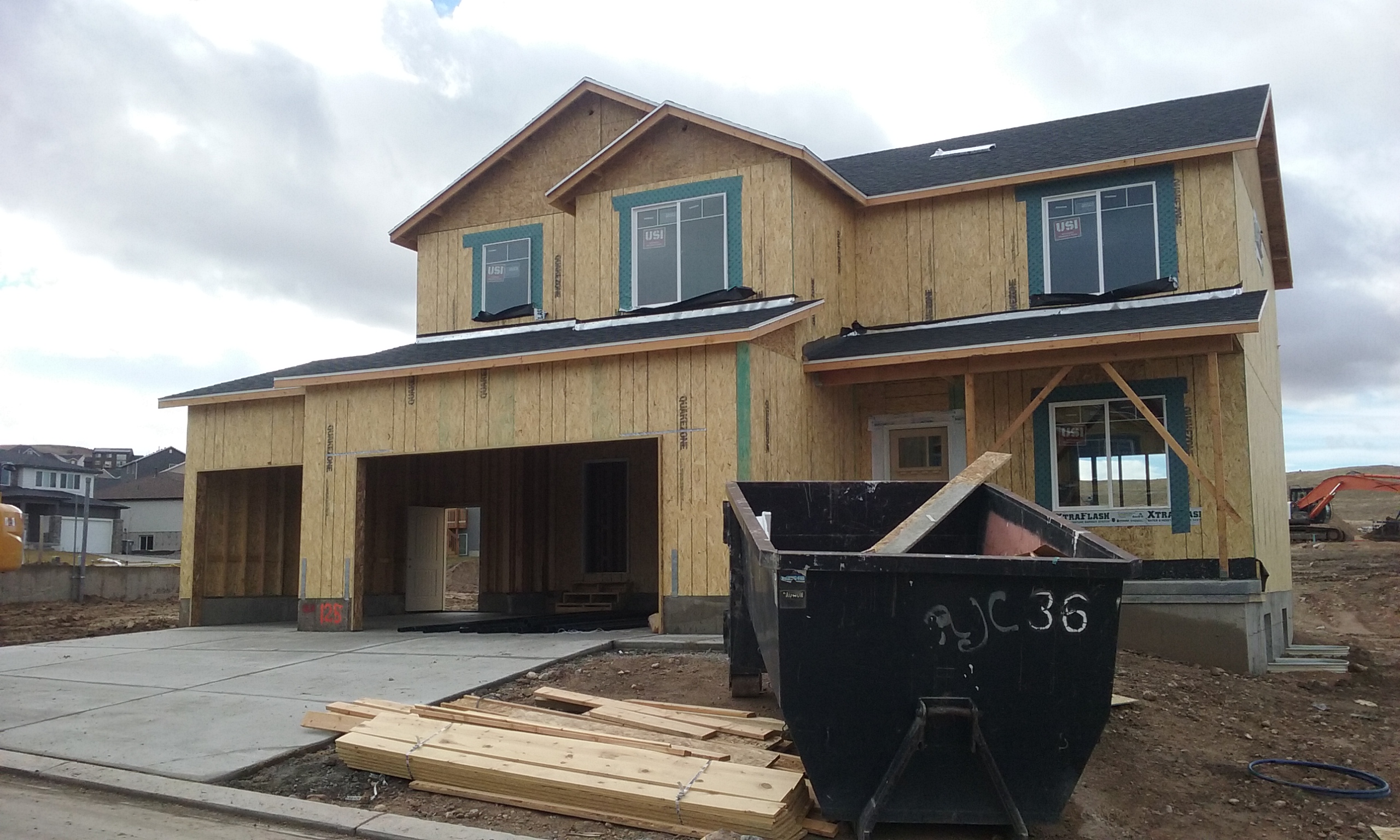
Total Photos: 3
|
| |
|
|
| Property Address: 338 FLAGSTONE DR - SANTAQUIN |
|
| Mailing Address: 338 FLAGSTONE DR SANTAQUIN, UT 84655 |
|
| Acreage: 0.1903 |
|
| Last Document:
47770-2019
|
|
| Subdivision Map Filing |
|
| Legal Description:
LOT 125, PLAT H, STONE HOLLOW AT SUMMIT RIDGE SUB AREA 0.190 AC. |
|
- Owner Names
- Value History
- Tax History
- Location
- Photos
- Documents
- Aerial Image
| |
----- Real Estate Values ----- |
---Improvements--- |
---Greenbelt--- |
Total |
| Year |
Com |
Res |
Agr |
Tot |
Com |
Res |
Agr |
Tot |
Land |
Homesite |
Tot |
Market Value |
| 2025 |
$0 |
$140,300 |
$0 |
$140,300 |
$0 |
$409,300 |
$0 |
$409,300 |
$0 |
$0 |
$0 |
$549,600 |
| 2024 |
$0 |
$133,600 |
$0 |
$133,600 |
$0 |
$355,000 |
$0 |
$355,000 |
$0 |
$0 |
$0 |
$488,600 |
| 2023 |
$0 |
$133,600 |
$0 |
$133,600 |
$0 |
$382,400 |
$0 |
$382,400 |
$0 |
$0 |
$0 |
$516,000 |
| 2022 |
$0 |
$142,400 |
$0 |
$142,400 |
$0 |
$360,400 |
$0 |
$360,400 |
$0 |
$0 |
$0 |
$502,800 |
| 2021 |
$0 |
$79,100 |
$0 |
$79,100 |
$0 |
$295,200 |
$0 |
$295,200 |
$0 |
$0 |
$0 |
$374,300 |
| 2020 |
$0 |
$65,900 |
$0 |
$65,900 |
$0 |
$283,800 |
$0 |
$283,800 |
$0 |
$0 |
$0 |
$349,700 |
| 2019 |
$0 |
$62,500 |
$0 |
$62,500 |
$0 |
$116,300 |
$0 |
$116,300 |
$0 |
$0 |
$0 |
$178,800 |
| Year |
General Taxes |
Adjustments |
Net Taxes |
Fees |
Payments |
Tax Balance* |
Balance Due |
Tax Area |
| 2026 |
$0.00 |
$0.00 |
$0.00 |
$0.00 |
|
$0.00
|
$0.00 |
190 - SANTAQUIN CITY |
| 2025 |
$3,039.43 |
$0.00 |
$3,039.43 |
$0.00 |
|
$0.00
|
$0.00 |
190 - SANTAQUIN CITY |
| 2024 |
$2,698.59 |
$0.00 |
$2,698.59 |
$0.00 |
|
$0.00
|
$0.00 |
190 - SANTAQUIN CITY |
| 2023 |
$2,840.84 |
$0.00 |
$2,840.84 |
$0.00 |
|
$0.00
|
$0.00 |
190 - SANTAQUIN CITY |
| 2022 |
$2,683.82 |
$0.00 |
$2,683.82 |
$0.00 |
|
$0.00
|
$0.00 |
190 - SANTAQUIN CITY |
| 2021 |
$2,343.36 |
$0.00 |
$2,343.36 |
$0.00 |
|
$0.00
|
$0.00 |
190 - SANTAQUIN CITY |
| 2020 |
$2,259.36 |
$0.00 |
$2,259.36 |
$0.00 |
|
$0.00
|
$0.00 |
190 - SANTAQUIN CITY |
| 2019 |
$1,129.63 |
$0.00 |
$1,129.63 |
$0.00 |
|
$0.00
|
$0.00 |
190 - SANTAQUIN CITY |
|
*The visual representation is a sum of taxes for the year(s) selected and is for reference only and no liability is assumed for any inaccuracies, incorrect data or variations.
|
|
* Note: Original tax amount (Does not include applicable interest and/or fees).
| Entry # |
Date |
Recorded |
Type |
Party1 (Grantor) |
Party2 (Grantee) |
| 161723-2021 |
08/27/2021 |
09/17/2021 |
DECLCOV |
HG 1 UTAH LLC (ET AL) |
WHOM OF INTEREST |
| 23190-2021 |
02/05/2021 |
02/08/2021 |
R DECL |
HG 1 UTAH LLC (ET AL) |
WHOM OF INTEREST |
| 202292-2020 |
12/03/2002 |
12/18/2020 |
AGR |
HG UTAH 1 LLC (ET AL) |
SANTAQUIN CITY CORPORATION |
| 77782-2019 |
08/14/2019 |
08/14/2019 |
ADECCOV |
HG UTAH 1 LLC |
WHOM OF INTEREST |
| 47771-2019 |
05/29/2019 |
05/30/2019 |
D TR |
CHANEY, JOHN & MORGAN |
RANLIFE INC |
| 47770-2019 |
05/01/2019 |
05/30/2019 |
SP WD |
DR HORTON INC |
CHANEY, JOHN & MORGAN |
| 95834-2018 |
10/04/2018 |
10/05/2018 |
COVLAND |
SRC MASTER ASSOCIATION |
WHOM OF INTEREST |
| 64388-2018 |
07/06/2018 |
07/10/2018 |
SPWDMRL |
D R HORTON INC |
DRH ENERGY INC |
| 64387-2018 |
07/06/2018 |
07/10/2018 |
SP WD |
SALISBURY DEVELOPERS INC |
D R HORTON INC |
| 64214-2018 |
06/29/2018 |
07/09/2018 |
S PLAT |
SALISBURY DEVELOPERS INC |
STONE HOLLOW AT SUMMIT RIDGE PLAT H |
Main Menu Comments or Concerns on Value/Appraisal - Assessor's Office
Documents/Owner/Parcel information - Recorder's Office
Address Change for Tax Notice
This page was created on 12/10/2025 9:53:04 AM |