Property Information
| Serial Number: 26:052:0021 |
Serial Life: 2014-2021 |
|
|
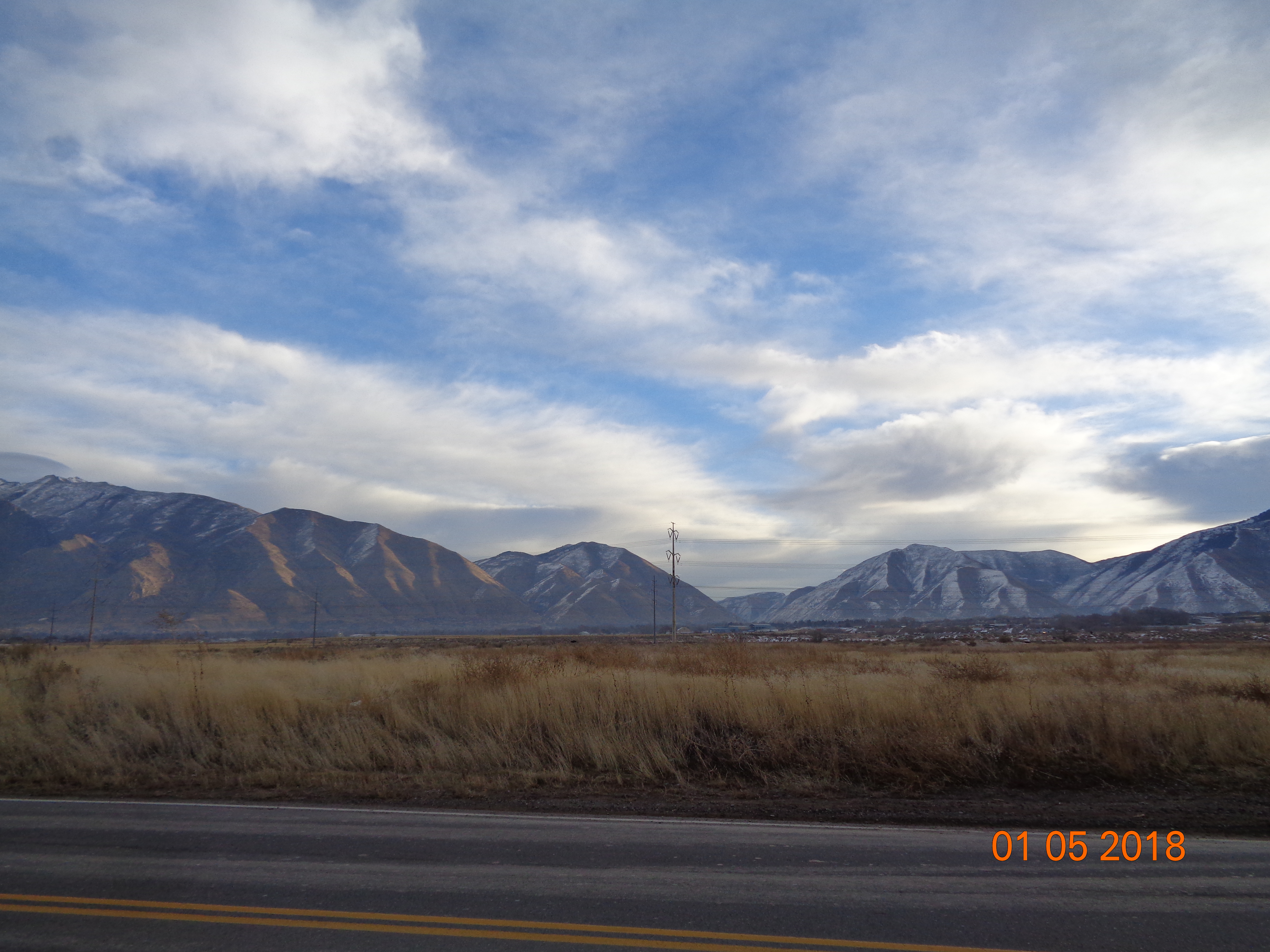
Total Photos: 1
|
| |
|
|
| Property Address: |
|
| Mailing Address: 569 S 700 W MAPLETON, UT 84664-4341 |
|
| Acreage: 29.693714 |
|
| Last Document:
180244-2021
|
|
| Subdivision Map Filing |
|
| Legal Description:
COM N 312.25 FT & E 1008.07 FT FR E 1/4 COR. SEC. 7, T8S, R3E, SLB&M.; N 43 DEG 45' 0" E 471.23 FT; S 659.98 FT; E 409.19 FT; S 55 DEG 18' 0" W 319.99 FT; S 34 DEG 42' 1" E 17 FT; S 54 DEG 38' 59" W 1679.18 FT; N 3 DEG 3' 25" E 56.2 FT; ALONG A CURVE TO L (CHORD BEARS: N 1 DEG 11' 50" E 522.44 FT, RADIUS = 8049 FT); ALONG A CURVE TO L (CHORD BEARS: N 10 DEG 35' 7" W 499.38 FT, RADIUS = 1449 FT); ALONG A CURVE TO R (CHORD BEARS: N 18 DEG 1' 10" W 117.32 FT, RADIUS = 1351 FT); N 73 DEG 0' 0" E 1047.84 FT TO BEG. AREA 29.694 AC. |
|
- Owner Names
- Value History
- Tax History
- Location
- Photos
- Documents
- Aerial Image
| |
----- Real Estate Values ----- |
---Improvements--- |
---Greenbelt--- |
Total |
| Year |
Com |
Res |
Agr |
Tot |
Com |
Res |
Agr |
Tot |
Land |
Homesite |
Tot |
Market Value |
| 2021 |
$2,202,300 |
$0 |
$0 |
$2,202,300 |
$0 |
$0 |
$0 |
$0 |
$356 |
$0 |
$356 |
$2,202,300 |
| 2020 |
$2,202,300 |
$0 |
$0 |
$2,202,300 |
$0 |
$0 |
$0 |
$0 |
$356 |
$0 |
$356 |
$2,202,300 |
| 2019 |
$426,800 |
$0 |
$0 |
$426,800 |
$0 |
$0 |
$0 |
$0 |
$356 |
$0 |
$356 |
$426,800 |
| 2018 |
$413,900 |
$0 |
$0 |
$413,900 |
$0 |
$0 |
$0 |
$0 |
$386 |
$0 |
$386 |
$413,900 |
| 2017 |
$401,000 |
$0 |
$0 |
$401,000 |
$0 |
$0 |
$0 |
$0 |
$416 |
$0 |
$416 |
$401,000 |
| 2016 |
$388,000 |
$0 |
$0 |
$388,000 |
$0 |
$0 |
$0 |
$0 |
$386 |
$0 |
$386 |
$388,000 |
| 2015 |
$388,000 |
$0 |
$0 |
$388,000 |
$0 |
$0 |
$0 |
$0 |
$386 |
$0 |
$386 |
$388,000 |
| 2014 |
$388,000 |
$0 |
$0 |
$388,000 |
$0 |
$0 |
$0 |
$0 |
$416 |
$0 |
$416 |
$388,000 |
| Year |
General Taxes |
Adjustments |
Net Taxes |
Fees |
Payments |
Tax Balance* |
Balance Due |
Tax Area |
| 2021 |
$24,731.83 |
$0.00 |
$24,731.83 |
$0.00 |
|
$0.00
|
$0.00 |
150 - SPANISH FORK CITY |
| 2020 |
$25,438.77 |
$0.00 |
$25,438.77 |
$0.00 |
|
$0.00
|
$0.00 |
150 - SPANISH FORK CITY |
| 2019 |
$3.91 |
$0.00 |
$3.91 |
$0.00 |
|
$0.00
|
$0.00 |
150 - SPANISH FORK CITY |
| 2018 |
$4.38 |
$0.00 |
$4.38 |
$0.00 |
|
$0.00
|
$0.00 |
150 - SPANISH FORK CITY |
| 2017 |
$4.83 |
$0.00 |
$4.83 |
$0.00 |
|
$0.00
|
$0.00 |
150 - SPANISH FORK CITY |
| 2016 |
$4.55 |
$0.00 |
$4.55 |
$0.00 |
|
$0.00
|
$0.00 |
150 - SPANISH FORK CITY |
| 2015 |
$4.60 |
$0.00 |
$4.60 |
$0.00 |
|
$0.00
|
$0.00 |
150 - SPANISH FORK CITY |
| 2014 |
$4.94 |
$0.00 |
$4.94 |
$0.00 |
|
$0.00
|
$0.00 |
150 - SPANISH FORK CITY |
|
*The visual representation is a sum of taxes for the year(s) selected and is for reference only and no liability is assumed for any inaccuracies, incorrect data or variations.
|
|
* Note: Original tax amount (Does not include applicable interest and/or fees).
| Entry # |
Date |
Recorded |
Type |
Party1 (Grantor) |
Party2 (Grantee) |
| 188273-2021 |
11/03/2021 |
11/05/2021 |
QCD |
RG DEVELOPMENT LC |
CRANDALL FARMS INC |
| 180244-2021 |
10/22/2021 |
10/22/2021 |
WD |
SWENSON PROPERTIES LLC |
RG DEVELOPMENT LC |
| 18455-2020 |
02/13/2020 |
02/13/2020 |
R FARM |
UTAH COUNTY TREASURER |
SWENSON, RAY ALLEN (ET AL) |
| 11114-2020 |
01/27/2020 |
01/28/2020 |
N |
SPANISH FORK CITY |
WHOM OF INTEREST |
| 138607-2019 |
12/30/2019 |
12/30/2019 |
W FARM |
UTAH COUNTY ASSESSOR |
WHOM OF INTEREST |
| 83084-2018 |
08/27/2018 |
08/30/2018 |
N |
SPANISH FORK CITY |
WHOM OF INTEREST |
| 104741-2015 |
10/13/2015 |
11/19/2015 |
FARM |
SWENSON PROPERTIES LLC |
WHOM OF INTEREST |
| 3187-2015 |
12/04/2014 |
01/14/2015 |
QCD |
UNITED STATES OF AMERICA |
SOUTH UTAH VALLEY ELECTRIC SERVICE DISTRICT |
| 117523-2013 |
10/15/2013 |
12/31/2013 |
RESOL |
SPANISH FORK CITY |
WHOM OF INTEREST |
| 90707-2013 |
09/20/2013 |
09/24/2013 |
WD |
SWENSON PROPERTIES LLC |
SPANISH FORK CITY |
Main Menu Comments or Concerns on Value/Appraisal - Assessor's Office
Documents/Owner/Parcel information - Recorder's Office
Address Change for Tax Notice
This page was created on 11/15/2025 1:42:25 PM |
