Property Information
mobile view
| Serial Number: 39:184:0004 |
Serial Life: 2005-2015 |
|
|
 Total Photos: 5
|
| |
|
|
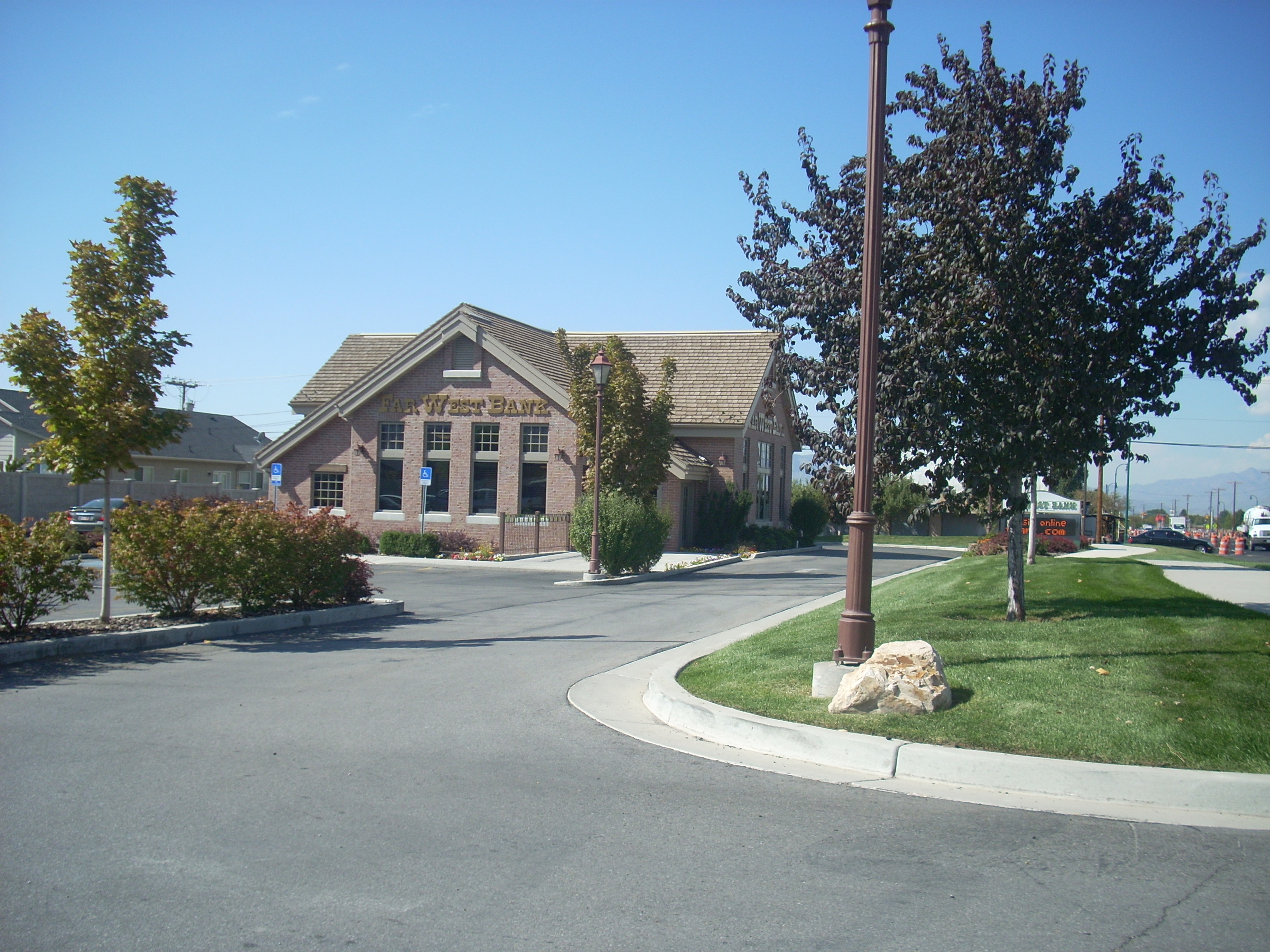
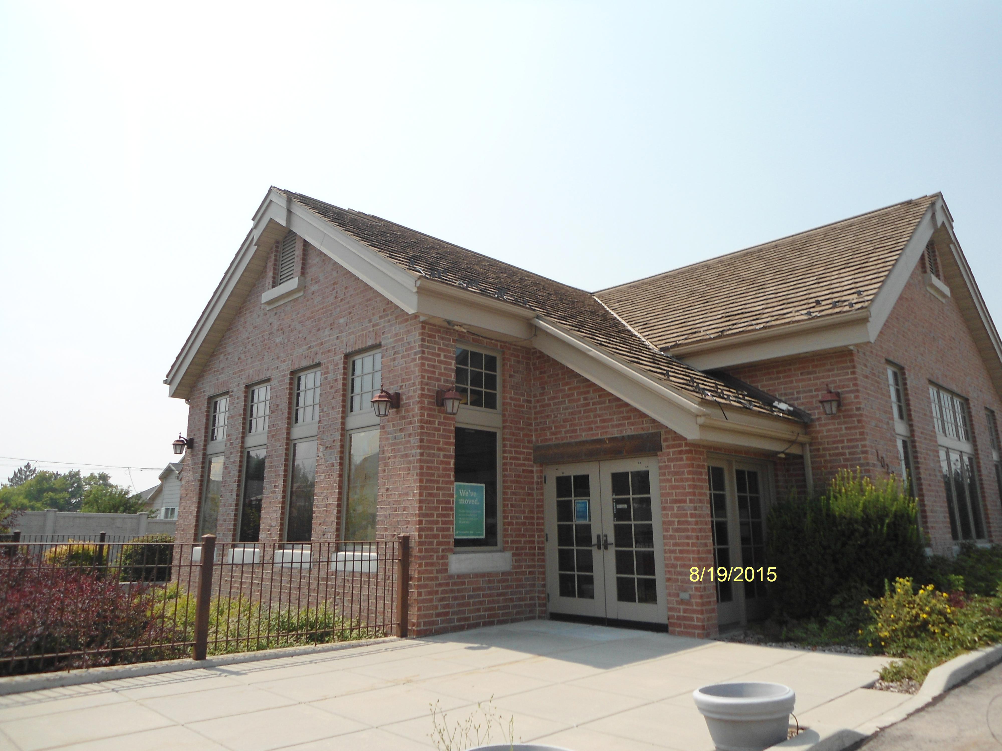
| Property Address: 1020 E 800 NORTH - OREM |
|
| Mailing Address: 110 S FERRALL ST SPOKANE, WA 99202-4800 |
|
| Acreage: 1.021526 |
|
| Last Document:
51833-2013
|
|
| Subdivision Map Filing |
|
| Taxing Description:
PART LOT 1, PLAT A, FARWEST AMENDED SUB DESCRIBED AS FOLLOWS:; COM S 36.15 FT & E 1630.53 FT FR W 1/4 COR. SEC. 12, T6S, R2E, SLB&M.; ALONG A CURVE TO L (CHORD BEARS: N 87 DEG 39' 17" E .89 FT, RADIUS = 6826.84 FT); S 0 DEG 17' 0" E 78.79 FT; N 89 DEG 41' 42" E 95.44 FT; N 89 DEG 41' 42" E .72 FT; S 0 DEG 17' 0" E 60 FT; S 89 DEG 41' 42" W 381.77 FT; N 0 DEG 40' 57" W 121.11 FT; ALONG A CURVE TO R (CHORD BEARS: N 58 DEG 39' 3" E 25.91 FT, RADIUS = 25 FT); ALONG A CURVE TO L (CHORD BEARS: N 88 DEG 45' 47" E 263.4 FT, RADIUS = 6826.84 FT) TO BEG. AREA 1.022 AC.
*Taxing description NOT FOR LEGAL DOCUMENTS
|
|
- Owner Names
- Value History
- Tax History
- Location
- Photos
- Documents
- Aerial Image
| |
----- Real Estate Values ----- |
---Improvements--- |
---Greenbelt--- |
Total |
| Year |
Com |
Res |
Agr |
Tot |
Com |
Res |
Agr |
Tot |
Land |
Homesite |
Tot |
Market Value |
| 2015 |
$458,800 |
$0 |
$0 |
$458,800 |
$656,400 |
$0 |
$0 |
$656,400 |
$0 |
$0 |
$0 |
$1,115,200 |
| 2014 |
$436,900 |
$0 |
$0 |
$436,900 |
$656,400 |
$0 |
$0 |
$656,400 |
$0 |
$0 |
$0 |
$1,093,300 |
| 2013 |
$397,200 |
$0 |
$0 |
$397,200 |
$656,400 |
$0 |
$0 |
$656,400 |
$0 |
$0 |
$0 |
$1,053,600 |
| 2012 |
$397,200 |
$0 |
$0 |
$397,200 |
$656,400 |
$0 |
$0 |
$656,400 |
$0 |
$0 |
$0 |
$1,053,600 |
| 2011 |
$397,200 |
$0 |
$0 |
$397,200 |
$656,400 |
$0 |
$0 |
$656,400 |
$0 |
$0 |
$0 |
$1,053,600 |
| 2010 |
$431,690 |
$0 |
$0 |
$431,690 |
$690,990 |
$0 |
$0 |
$690,990 |
$0 |
$0 |
$0 |
$1,122,680 |
| 2009 |
$440,500 |
$0 |
$0 |
$440,500 |
$743,000 |
$0 |
$0 |
$743,000 |
$0 |
$0 |
$0 |
$1,183,500 |
| 2008 |
$192,800 |
$0 |
$0 |
$192,800 |
$617,100 |
$0 |
$0 |
$617,100 |
$0 |
$0 |
$0 |
$809,900 |
| 2007 |
$183,600 |
$0 |
$0 |
$183,600 |
$587,700 |
$0 |
$0 |
$587,700 |
$0 |
$0 |
$0 |
$771,300 |
| 2006 |
$153,000 |
$0 |
$0 |
$153,000 |
$534,306 |
$0 |
$0 |
$534,306 |
$0 |
$0 |
$0 |
$687,306 |
| 2005 |
$153,000 |
$0 |
$0 |
$153,000 |
$534,306 |
$0 |
$0 |
$534,306 |
$0 |
$0 |
$0 |
$687,306 |
| Year |
General Taxes |
Adjustments |
Net Taxes |
Fees |
Payments |
Tax Balance* |
Balance Due |
Tax District |
| 2015 |
$12,676.48 |
$0.00 |
$12,676.48 |
$0.00 |
|
$0.00
|
$0.00 |
090 - OREM CITY |
| 2014 |
$12,484.39 |
$0.00 |
$12,484.39 |
$0.00 |
|
$0.00
|
$0.00 |
090 - OREM CITY |
| 2013 |
$12,974.03 |
$0.00 |
$12,974.03 |
$0.00 |
|
$0.00
|
$0.00 |
090 - OREM CITY |
| 2012 |
$13,241.64 |
$0.00 |
$13,241.64 |
$0.00 |
|
$0.00
|
$0.00 |
090 - OREM CITY |
| 2011 |
$13,178.43 |
$0.00 |
$13,178.43 |
$0.00 |
|
$0.00
|
$0.00 |
090 - OREM CITY |
| 2010 |
$13,146.58 |
$0.00 |
$13,146.58 |
$0.00 |
|
$0.00
|
$0.00 |
090 - OREM CITY |
| 2009 |
$12,846.89 |
$0.00 |
$12,846.89 |
$0.00 |
|
$0.00
|
$0.00 |
090 - OREM CITY |
| 2008 |
$8,146.78 |
$0.00 |
$8,146.78 |
$0.00 |
|
$0.00
|
$0.00 |
090 - OREM CITY |
| 2007 |
$7,669.81 |
$0.00 |
$7,669.81 |
$0.00 |
|
$0.00
|
$0.00 |
090 - OREM CITY |
| 2006 |
$7,277.88 |
$0.00 |
$7,277.88 |
$0.00 |
|
$0.00
|
$0.00 |
090 - OREM CITY |
| 2005 |
$8,214.68 |
$0.00 |
$8,214.68 |
$0.00 |
|
$0.00
|
$0.00 |
090 - OREM CITY |
* Note: Original tax amount (Does not include applicable interest and/or fees).
| Entry # |
Date |
Recorded |
Type |
Party1 (Grantor) |
Party2 (Grantee) |
| 54320-2015 |
04/21/2015 |
06/19/2015 |
SP WD |
AMERICANWEST BANK |
DESERT PROPERTIES LC |
| 51833-2013 |
05/22/2013 |
05/28/2013 |
WD |
FAR WEST BANK NKA (ET AL) |
AMERICAN WEST BANK |
| 137226-2005 |
|
11/29/2005 |
N |
OREM CITY CORPORATION |
WHOM OF INTEREST |
| 87919-2004 |
07/29/2004 |
08/02/2004 |
WD |
FAR WEST BANK |
PRO CUBE CONSULTANTS INC |
Main Menu Comments or Concerns on Value/Appraisal - Assessor's Office
Documents/Owner/Parcel information - Recorder's Office
Address Change for Tax Notice
This page was created on 5/9/2025 2:24:48 AM |