Property Information
mobile view
| Serial Number: 08:048:0037 |
Serial Life: 2005-2020 |
|
|
Total Photos: 1
|
| |
|
|
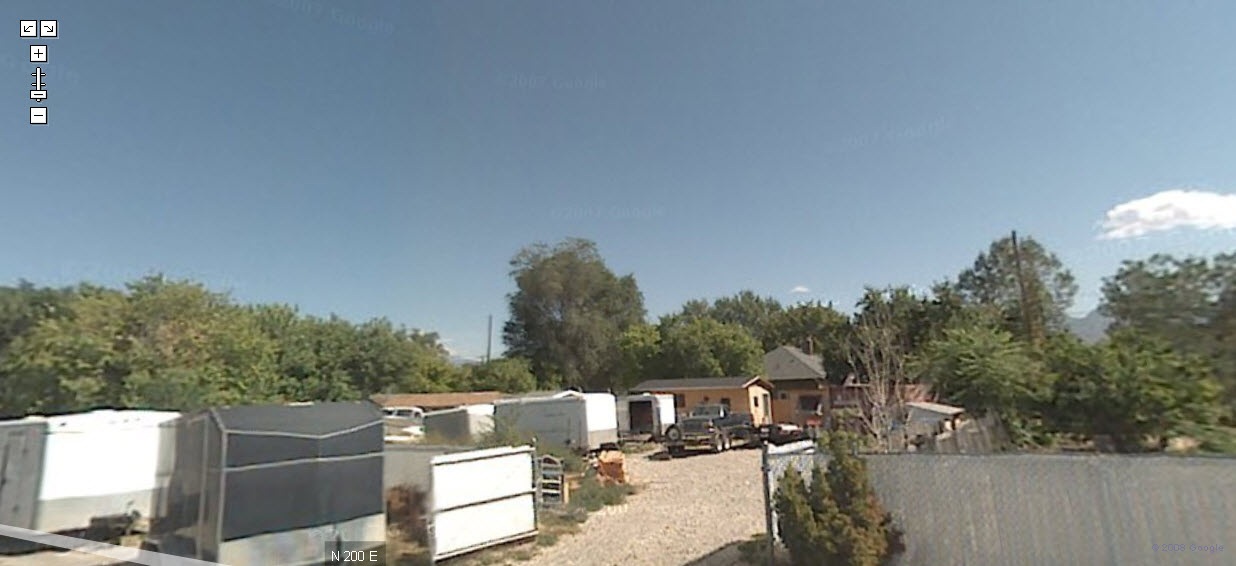
| Property Address: |
|
| Mailing Address: 336 N 200 E PAYSON, UT 84651-1812 |
|
| Acreage: 0.183638 |
|
| Last Document:
108118-2004
|
|
| Subdivision Map Filing |
|
| Taxing Description:
COM N 11.09 FT & N 89 DEG 13' 51" W 198.45 FT FR NE COR. LOT 3, BLK. 57, PLAT A, PAYSON CITY SURVEY; N 80 FT; S 89 DEG 13' 51" E 100 FT; S 80 FT; N 89 DEG 13' 51" W 100 FT TO BEG. AREA 0.184 AC.
*Taxing description NOT FOR LEGAL DOCUMENTS
|
|
- Owner Names
- Value History
- Tax History
- Location
- Photos
- Documents
- Aerial Image
| |
----- Real Estate Values ----- |
---Improvements--- |
---Greenbelt--- |
Total |
| Year |
Com |
Res |
Agr |
Tot |
Com |
Res |
Agr |
Tot |
Land |
Homesite |
Tot |
Market Value |
| 2020 |
$0 |
$68,900 |
$0 |
$68,900 |
$0 |
$0 |
$0 |
$0 |
$0 |
$0 |
$0 |
$68,900 |
| 2019 |
$0 |
$62,000 |
$0 |
$62,000 |
$0 |
$0 |
$0 |
$0 |
$0 |
$0 |
$0 |
$62,000 |
| 2018 |
$0 |
$52,300 |
$0 |
$52,300 |
$0 |
$0 |
$0 |
$0 |
$0 |
$0 |
$0 |
$52,300 |
| 2017 |
$0 |
$49,600 |
$0 |
$49,600 |
$0 |
$0 |
$0 |
$0 |
$0 |
$0 |
$0 |
$49,600 |
| 2016 |
$0 |
$44,800 |
$0 |
$44,800 |
$0 |
$0 |
$0 |
$0 |
$0 |
$0 |
$0 |
$44,800 |
| 2015 |
$0 |
$41,300 |
$0 |
$41,300 |
$0 |
$0 |
$0 |
$0 |
$0 |
$0 |
$0 |
$41,300 |
| 2014 |
$0 |
$37,900 |
$0 |
$37,900 |
$0 |
$0 |
$0 |
$0 |
$0 |
$0 |
$0 |
$37,900 |
| 2013 |
$0 |
$32,400 |
$0 |
$32,400 |
$0 |
$0 |
$0 |
$0 |
$0 |
$0 |
$0 |
$32,400 |
| 2012 |
$0 |
$48,500 |
$0 |
$48,500 |
$0 |
$0 |
$0 |
$0 |
$0 |
$0 |
$0 |
$48,500 |
| 2011 |
$0 |
$48,500 |
$0 |
$48,500 |
$0 |
$0 |
$0 |
$0 |
$0 |
$0 |
$0 |
$48,500 |
| 2010 |
$0 |
$48,500 |
$0 |
$48,500 |
$0 |
$0 |
$0 |
$0 |
$0 |
$0 |
$0 |
$48,500 |
| 2009 |
$0 |
$48,500 |
$0 |
$48,500 |
$0 |
$0 |
$0 |
$0 |
$0 |
$0 |
$0 |
$48,500 |
| 2008 |
$0 |
$50,000 |
$0 |
$50,000 |
$0 |
$0 |
$0 |
$0 |
$0 |
$0 |
$0 |
$50,000 |
| 2007 |
$0 |
$50,000 |
$0 |
$50,000 |
$0 |
$0 |
$0 |
$0 |
$0 |
$0 |
$0 |
$50,000 |
| 2006 |
$0 |
$35,000 |
$0 |
$35,000 |
$0 |
$0 |
$0 |
$0 |
$0 |
$0 |
$0 |
$35,000 |
| 2005 |
$0 |
$35,000 |
$0 |
$35,000 |
$0 |
$0 |
$0 |
$0 |
$0 |
$0 |
$0 |
$35,000 |
| Year |
General Taxes |
Adjustments |
Net Taxes |
Fees |
Payments |
Tax Balance* |
Balance Due |
Tax District |
| 2020 |
$795.38 |
$0.00 |
$795.38 |
$0.00 |
|
$0.00
|
$0.00 |
170 - PAYSON CITY |
| 2019 |
$698.12 |
$0.00 |
$698.12 |
$0.00 |
|
$0.00
|
$0.00 |
170 - PAYSON CITY |
| 2018 |
$611.02 |
$0.00 |
$611.02 |
$0.00 |
|
$0.00
|
$0.00 |
170 - PAYSON CITY |
| 2017 |
$592.57 |
$0.00 |
$592.57 |
$0.00 |
|
$0.00
|
$0.00 |
170 - PAYSON CITY |
| 2016 |
$538.76 |
$0.00 |
$538.76 |
$0.00 |
|
$0.00
|
$0.00 |
170 - PAYSON CITY |
| 2015 |
$500.10 |
$0.00 |
$500.10 |
$0.00 |
|
$0.00
|
$0.00 |
170 - PAYSON CITY |
| 2014 |
$455.63 |
$0.00 |
$455.63 |
$0.00 |
|
$0.00
|
$0.00 |
170 - PAYSON CITY |
| 2013 |
$407.72 |
$0.00 |
$407.72 |
$0.00 |
|
$0.00
|
$0.00 |
170 - PAYSON CITY |
| 2012 |
$619.54 |
$0.00 |
$619.54 |
$0.00 |
|
$0.00
|
$0.00 |
170 - PAYSON CITY |
| 2011 |
$604.84 |
$0.00 |
$604.84 |
$0.00 |
|
$0.00
|
$0.00 |
170 - PAYSON CITY |
| 2010 |
$589.76 |
$0.00 |
$589.76 |
$0.00 |
|
$0.00
|
$0.00 |
170 - PAYSON CITY |
| 2009 |
$558.57 |
$0.00 |
$558.57 |
$0.00 |
|
$0.00
|
$0.00 |
170 - PAYSON CITY |
| 2008 |
$535.65 |
$0.00 |
$535.65 |
$0.00 |
|
$0.00
|
$0.00 |
170 - PAYSON CITY |
| 2007 |
$531.30 |
$0.00 |
$531.30 |
$0.00 |
|
$0.00
|
$0.00 |
170 - PAYSON CITY |
| 2006 |
$413.25 |
$0.00 |
$413.25 |
$0.00 |
|
$0.00
|
$0.00 |
170 - PAYSON CITY |
| 2005 |
$439.92 |
$0.00 |
$439.92 |
$0.00 |
|
$0.00
|
$0.00 |
170 - PAYSON CITY |
* Note: Original tax amount (Does not include applicable interest and/or fees).
| Entry # |
Date |
Recorded |
Type |
Party1 (Grantor) |
Party2 (Grantee) |
| 22234-2020 |
02/20/2020 |
02/21/2020 |
BLA |
WILSON, DAVID SHIRLEY SUCTEE (ET AL) |
HARMON, BRET D & BONNIE |
| 3187-2015 |
12/04/2014 |
01/14/2015 |
QCD |
UNITED STATES OF AMERICA |
SOUTH UTAH VALLEY ELECTRIC SERVICE DISTRICT |
| 114949-2008 |
10/20/2008 |
10/22/2008 |
CT |
STATE OF UTAH |
WHOM OF INTEREST |
| 107508-2008 |
09/30/2008 |
09/30/2008 |
RESOL |
BOARD OF COUNTY COMMISSIONERS UTAH COUNTY |
WHOM OF INTEREST |
| 108119-2004 |
09/21/2004 |
09/22/2004 |
TR D |
HARMON, BRETT D & BONNIE |
WILSON, SHIRLEY & HELEN STEELE TEE |
| 108118-2004 |
09/21/2004 |
09/22/2004 |
WD |
WILSON, SHIRLEY & HELEN STEELE TEE (ET AL) |
HARMON, BRET D & BONNIE |
Main Menu Comments or Concerns on Value/Appraisal - Assessor's Office
Documents/Owner/Parcel information - Recorder's Office
Address Change for Tax Notice
This page was created on 5/23/2024 5:44:03 AM |