Property Information
mobile view
| Serial Number: 66:852:0008 |
Serial Life: 2022 |
|
|
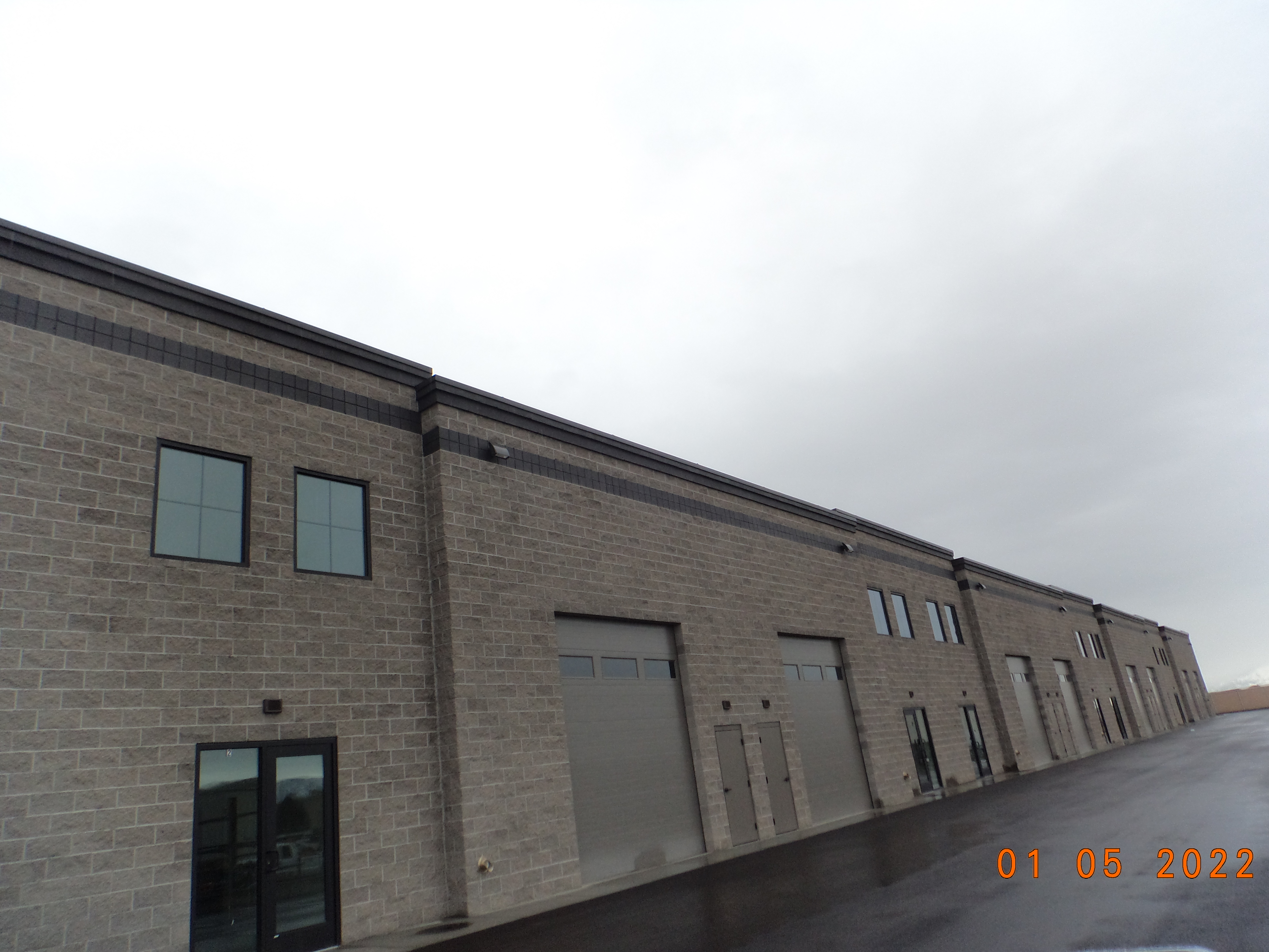 Total Photos: 1
|
| |
|
|
| Property Address: 391 W 700 SOUTH - PLEASANT GROVE |
|
| Mailing Address: 451 E 1000 S STE A PLEASANT GROVE, UT 84062-3734 |
|
| Acreage: 1.237203 |
|
| Last Document:
183799-2021
|
|
| Subdivision Map Filing |
|
| Taxing Description:
LOT 8, PLAT C, SAM WHITE PARK SUB AREA 1.237 AC.
*Taxing description NOT FOR LEGAL DOCUMENTS
|
|
- Owner Names
- Value History
- Tax History
- Location
- Photos
- Documents
- Aerial Image
| |
----- Real Estate Values ----- |
---Improvements--- |
---Greenbelt--- |
Total |
| Year |
Com |
Res |
Agr |
Tot |
Com |
Res |
Agr |
Tot |
Land |
Homesite |
Tot |
Market Value |
| 2022 |
$588,600 |
$0 |
$0 |
$588,600 |
$1,949,000 |
$0 |
$0 |
$1,949,000 |
$0 |
$0 |
$0 |
$2,537,600 |
| Year |
General Taxes |
Adjustments |
Net Taxes |
Fees |
Payments |
Tax Balance* |
Balance Due |
Tax District |
| 2022 |
$20,874.30 |
$0.00 |
$20,874.30 |
$0.00 |
|
$0.00
|
$0.00 |
070 - PLEASANT GROVE CITY |
* Note: Original tax amount (Does not include applicable interest and/or fees).
| Entry # |
Date |
Recorded |
Type |
Party1 (Grantor) |
Party2 (Grantee) |
| 1068-2022 |
12/15/2021 |
01/04/2022 |
C PLAT |
CITYSIDE PROPERTIES LC |
SAM WHITE PLAZA CONDOS PLAT A |
| 183799-2021 |
10/26/2021 |
10/28/2021 |
S PLAT |
RHINO PUMPS LLC (ET AL) |
SAM WHITE PARK PLAT C |
Main Menu Comments or Concerns on Value/Appraisal - Assessor's Office
Documents/Owner/Parcel information - Recorder's Office
Address Change for Tax Notice
This page was created on 5/7/2025 12:09:38 PM |