Property Information
mobile view
| Serial Number: 40:309:0003 |
Serial Life: 2002-2018 |
|
|
Total Photos: 4
|
| |
|
|
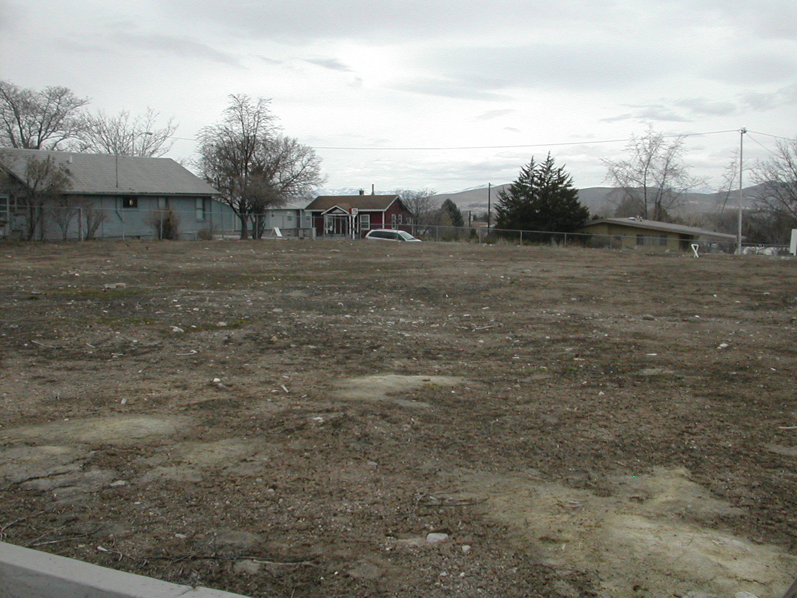
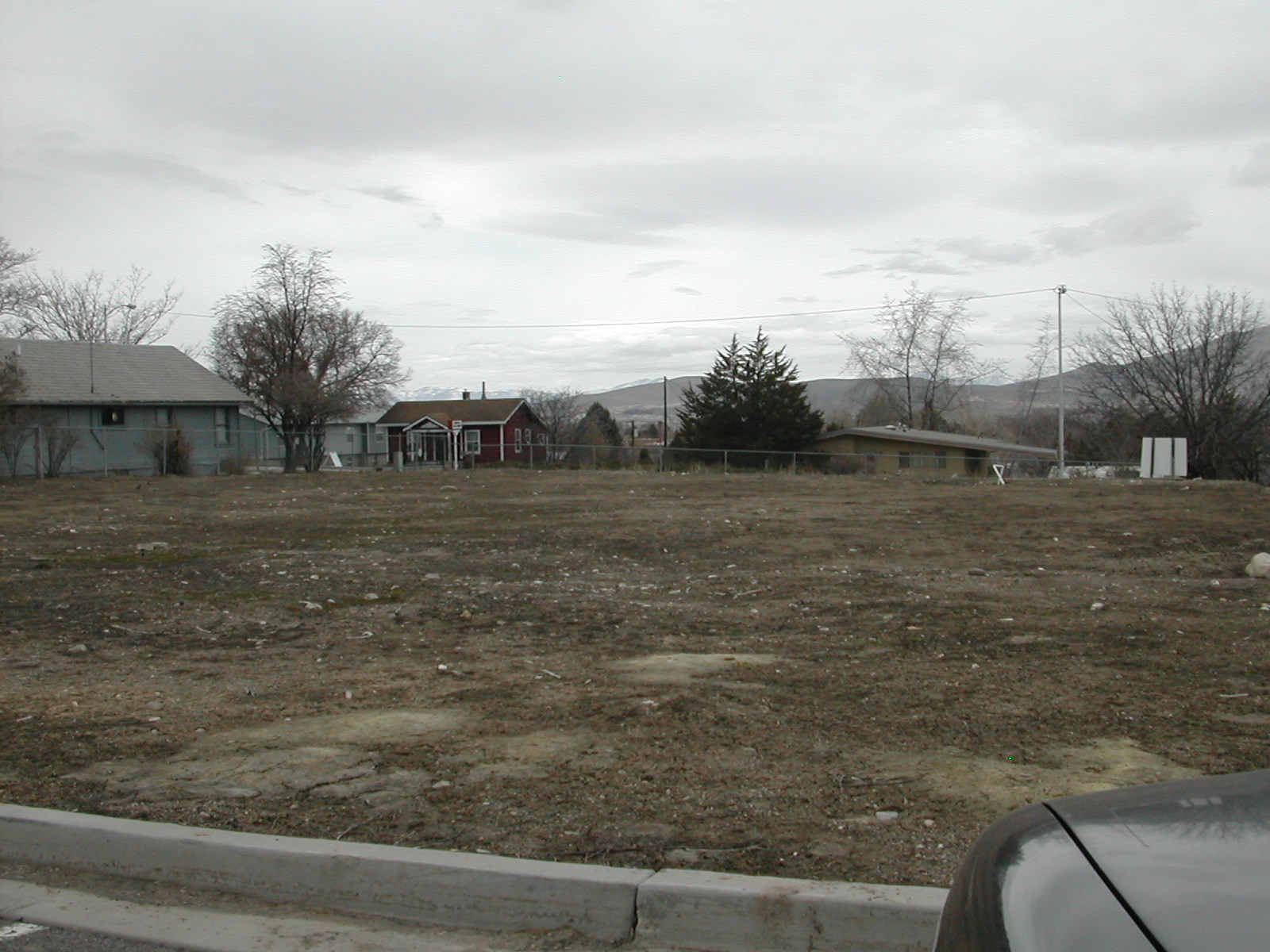
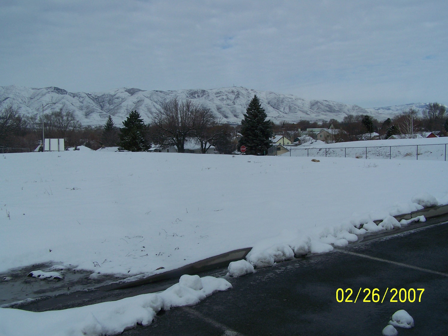
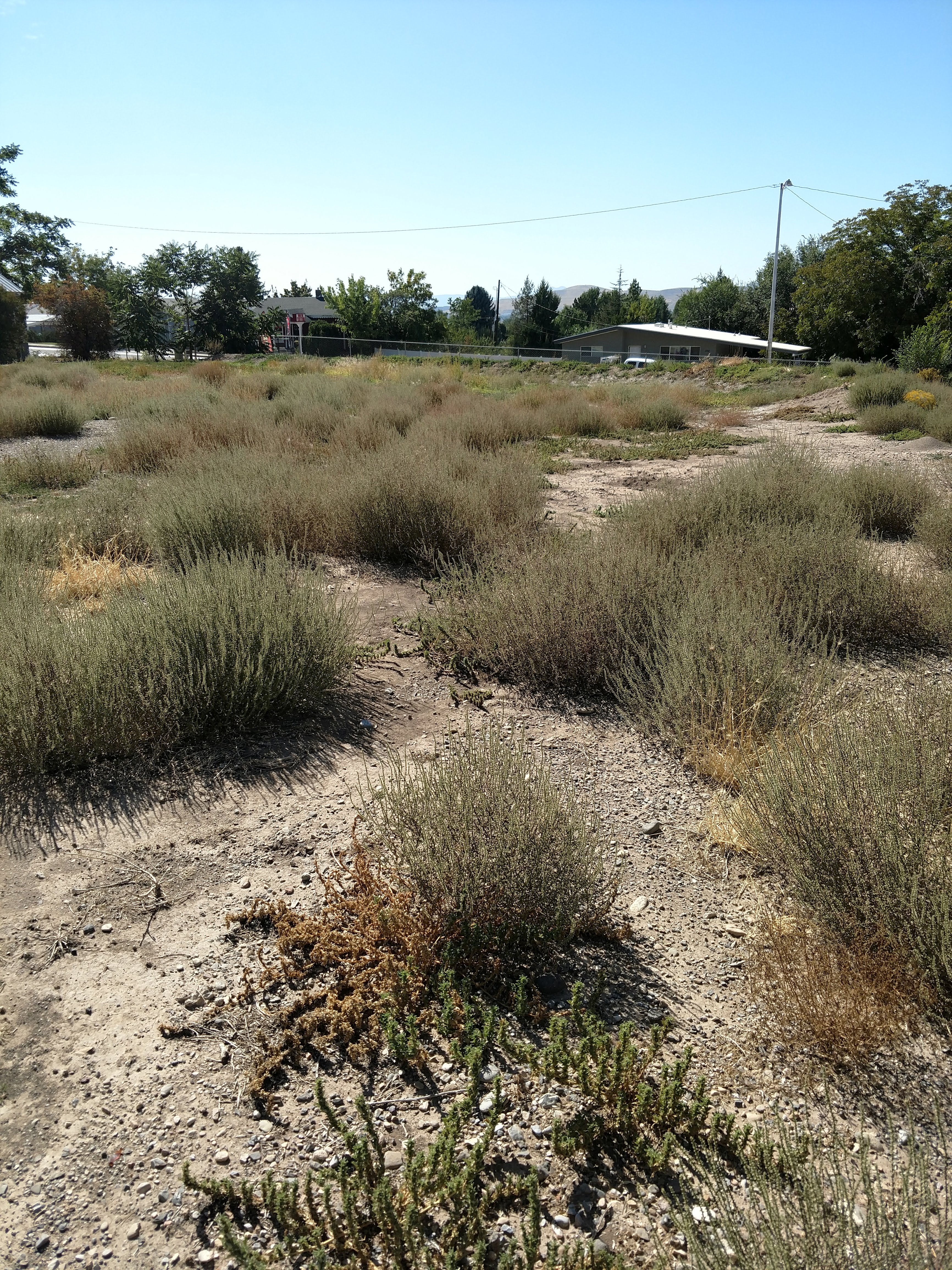
| Property Address: 89 W 300 SOUTH - PAYSON |
|
| Mailing Address: %GUNNERSON, TRICIA 21 E SALEM HILLS DR ELK RIDGE, UT 84651-5531 |
|
| Acreage: 0.065 |
|
| Last Document:
102421-2001
|
|
| Subdivision Map Filing |
|
| Taxing Description:
UNIT 3, PLAT A, GUNNERSON PUD SUBDV. AREA 0.065 AC.
*Taxing description NOT FOR LEGAL DOCUMENTS
|
|
- Owner Names
- Value History
- Tax History
- Location
- Photos
- Documents
- Aerial Image
| |
----- Real Estate Values ----- |
---Improvements--- |
---Greenbelt--- |
Total |
| Year |
Com |
Res |
Agr |
Tot |
Com |
Res |
Agr |
Tot |
Land |
Homesite |
Tot |
Market Value |
| 2018 |
$64,800 |
$0 |
$0 |
$64,800 |
$0 |
$0 |
$0 |
$0 |
$0 |
$0 |
$0 |
$64,800 |
| 2017 |
$64,800 |
$0 |
$0 |
$64,800 |
$0 |
$0 |
$0 |
$0 |
$0 |
$0 |
$0 |
$64,800 |
| 2016 |
$64,800 |
$0 |
$0 |
$64,800 |
$0 |
$0 |
$0 |
$0 |
$0 |
$0 |
$0 |
$64,800 |
| 2015 |
$64,800 |
$0 |
$0 |
$64,800 |
$0 |
$0 |
$0 |
$0 |
$0 |
$0 |
$0 |
$64,800 |
| 2014 |
$64,800 |
$0 |
$0 |
$64,800 |
$0 |
$0 |
$0 |
$0 |
$0 |
$0 |
$0 |
$64,800 |
| 2013 |
$64,800 |
$0 |
$0 |
$64,800 |
$0 |
$0 |
$0 |
$0 |
$0 |
$0 |
$0 |
$64,800 |
| 2012 |
$64,700 |
$0 |
$0 |
$64,700 |
$0 |
$0 |
$0 |
$0 |
$0 |
$0 |
$0 |
$64,700 |
| 2011 |
$58,118 |
$0 |
$0 |
$58,118 |
$0 |
$0 |
$0 |
$0 |
$0 |
$0 |
$0 |
$58,118 |
| 2010 |
$58,118 |
$0 |
$0 |
$58,118 |
$0 |
$0 |
$0 |
$0 |
$0 |
$0 |
$0 |
$58,118 |
| 2009 |
$58,275 |
$0 |
$0 |
$58,275 |
$0 |
$0 |
$0 |
$0 |
$0 |
$0 |
$0 |
$58,275 |
| 2008 |
$11,200 |
$0 |
$0 |
$11,200 |
$0 |
$0 |
$0 |
$0 |
$0 |
$0 |
$0 |
$11,200 |
| 2007 |
$11,200 |
$0 |
$0 |
$11,200 |
$0 |
$0 |
$0 |
$0 |
$0 |
$0 |
$0 |
$11,200 |
| 2006 |
$9,328 |
$0 |
$0 |
$9,328 |
$0 |
$0 |
$0 |
$0 |
$0 |
$0 |
$0 |
$9,328 |
| 2005 |
$9,328 |
$0 |
$0 |
$9,328 |
$0 |
$0 |
$0 |
$0 |
$0 |
$0 |
$0 |
$9,328 |
| 2004 |
$9,328 |
$0 |
$0 |
$9,328 |
$0 |
$0 |
$0 |
$0 |
$0 |
$0 |
$0 |
$9,328 |
| 2003 |
$9,328 |
$0 |
$0 |
$9,328 |
$0 |
$0 |
$0 |
$0 |
$0 |
$0 |
$0 |
$9,328 |
| 2002 |
$9,328 |
$0 |
$0 |
$9,328 |
$0 |
$0 |
$0 |
$0 |
$0 |
$0 |
$0 |
$9,328 |
| Year |
General Taxes |
Adjustments |
Net Taxes |
Fees |
Payments |
Tax Balance* |
Balance Due |
Tax District |
| 2018 |
$757.06 |
$0.00 |
$757.06 |
$0.00 |
|
$0.00
|
$0.00 |
170 - PAYSON CITY |
| 2017 |
$774.17 |
$0.00 |
$774.17 |
$0.00 |
|
$0.00
|
$0.00 |
170 - PAYSON CITY |
| 2016 |
$779.28 |
$0.00 |
$779.28 |
$0.00 |
|
$0.00
|
$0.00 |
170 - PAYSON CITY |
| 2015 |
$784.66 |
$0.00 |
$784.66 |
$0.00 |
|
$0.00
|
$0.00 |
170 - PAYSON CITY |
| 2014 |
$779.03 |
$0.00 |
$779.03 |
$0.00 |
|
$0.00
|
$0.00 |
170 - PAYSON CITY |
| 2013 |
$815.44 |
$0.00 |
$815.44 |
$0.00 |
|
$0.00
|
$0.00 |
170 - PAYSON CITY |
| 2012 |
$826.48 |
$0.00 |
$826.48 |
$0.00 |
|
$0.00
|
$0.00 |
170 - PAYSON CITY |
| 2011 |
$724.79 |
$0.00 |
$724.79 |
$0.00 |
|
$0.00
|
$0.00 |
170 - PAYSON CITY |
| 2010 |
$925.94 |
($219.23) |
$706.71 |
$0.00 |
|
$0.00
|
$0.00 |
170 - PAYSON CITY |
| 2009 |
$894.87 |
($223.72) |
$671.15 |
$0.00 |
|
$0.00
|
$0.00 |
170 - PAYSON CITY |
| 2008 |
$119.99 |
$0.00 |
$119.99 |
$0.00 |
|
$0.00
|
$0.00 |
170 - PAYSON CITY |
| 2007 |
$119.01 |
$0.00 |
$119.01 |
$0.00 |
|
$0.00
|
$0.00 |
170 - PAYSON CITY |
| 2006 |
$110.14 |
$0.00 |
$110.14 |
$0.00 |
|
$0.00
|
$0.00 |
170 - PAYSON CITY |
| 2005 |
$117.24 |
$0.00 |
$117.24 |
$0.00 |
|
$0.00
|
$0.00 |
170 - PAYSON CITY |
| 2004 |
$117.57 |
$0.00 |
$117.57 |
$0.00 |
|
$0.00
|
$0.00 |
170 - PAYSON CITY |
| 2003 |
$106.71 |
$0.00 |
$106.71 |
$0.00 |
|
$0.00
|
$0.00 |
170 - PAYSON CITY |
| 2002 |
$104.16 |
$0.00 |
$104.16 |
$0.00 |
|
$0.00
|
$0.00 |
170 - PAYSON CITY |
* Note: Original tax amount (Does not include applicable interest and/or fees).
| Entry # |
Date |
Recorded |
Type |
Party1 (Grantor) |
Party2 (Grantee) |
| 102000-2018 |
09/05/2018 |
10/24/2018 |
S PLAT |
GW DEVELOPMENT LC |
GUNNERSON PUD PLAT B |
| 3187-2015 |
12/04/2014 |
01/14/2015 |
QCD |
UNITED STATES OF AMERICA |
SOUTH UTAH VALLEY ELECTRIC SERVICE DISTRICT |
| 114949-2008 |
10/20/2008 |
10/22/2008 |
CT |
STATE OF UTAH |
WHOM OF INTEREST |
| 107508-2008 |
09/30/2008 |
09/30/2008 |
RESOL |
BOARD OF COUNTY COMMISSIONERS UTAH COUNTY |
WHOM OF INTEREST |
| 102422-2001 |
09/28/2001 |
10/09/2001 |
PRO COV |
GW DEVELOPMENT LC |
CITY OF PAYSON |
| 102421-2001 |
04/02/2001 |
10/09/2001 |
P PLAT |
WINN, DAVID R (ET AL) |
GUNNERSON PUD PLAT A |
Main Menu Comments or Concerns on Value/Appraisal - Assessor's Office
Documents/Owner/Parcel information - Recorder's Office
Address Change for Tax Notice
This page was created on 5/23/2024 5:54:25 AM |