Property Information
| Serial Number: 35:358:0003 |
Serial Life: 2001-2008 |
|
|
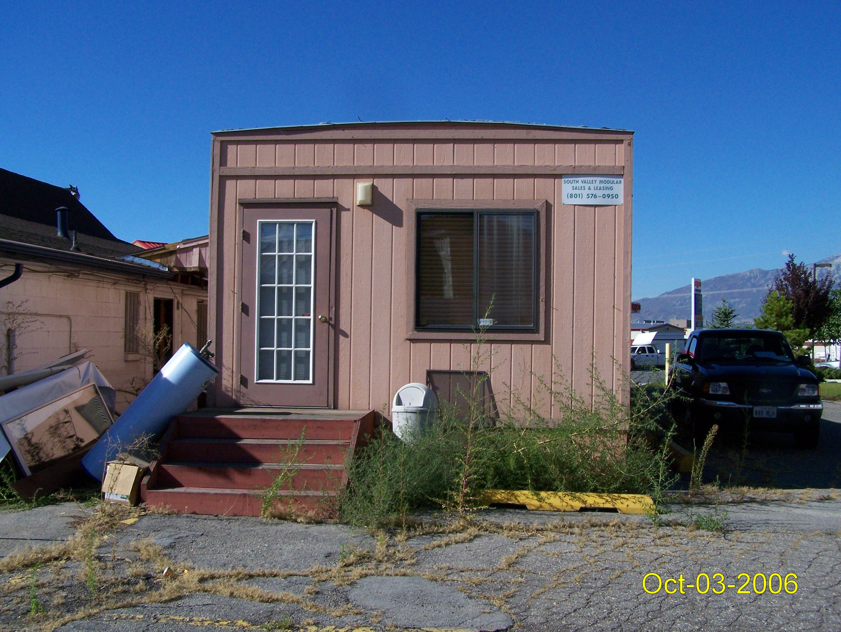
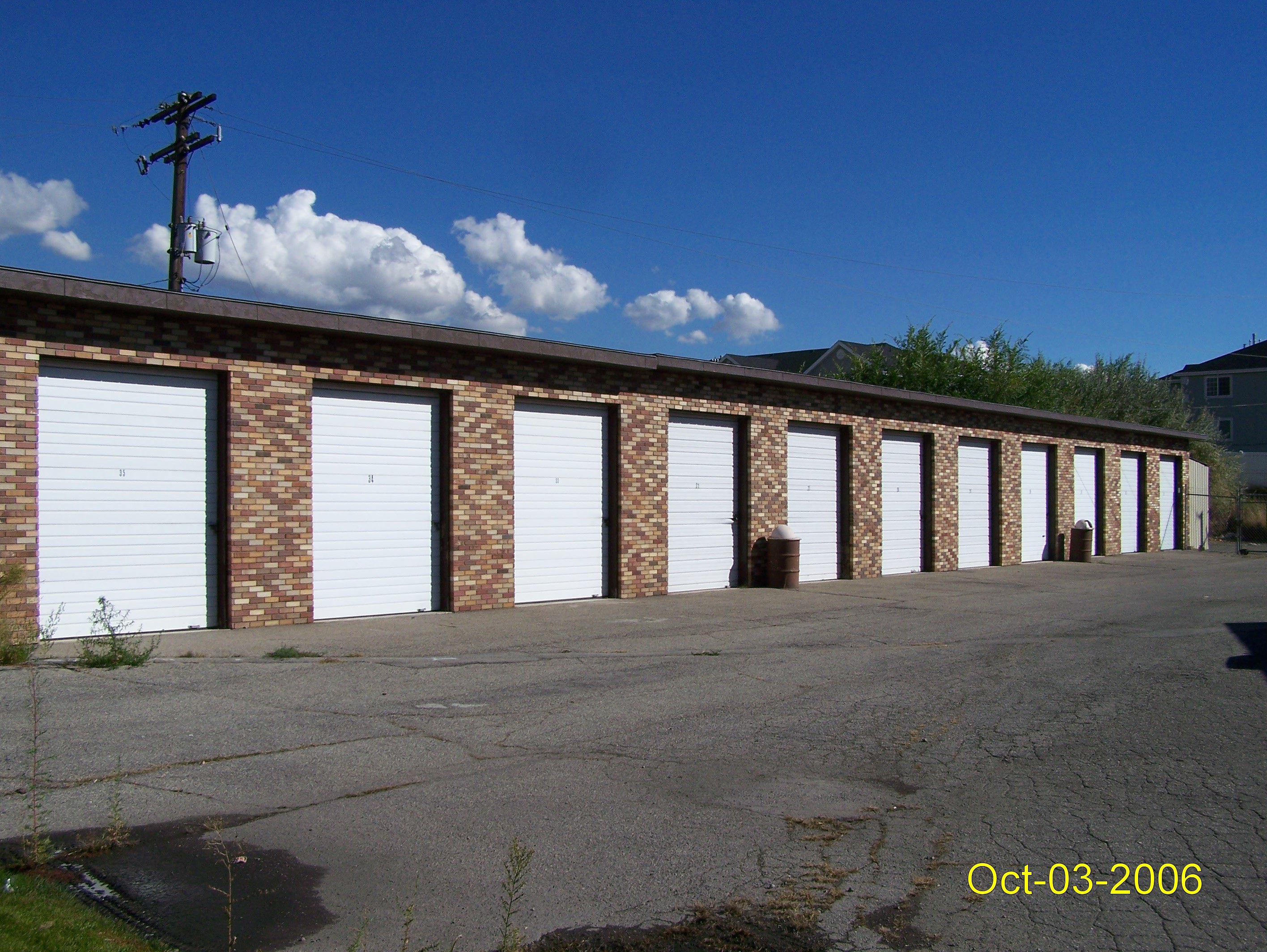
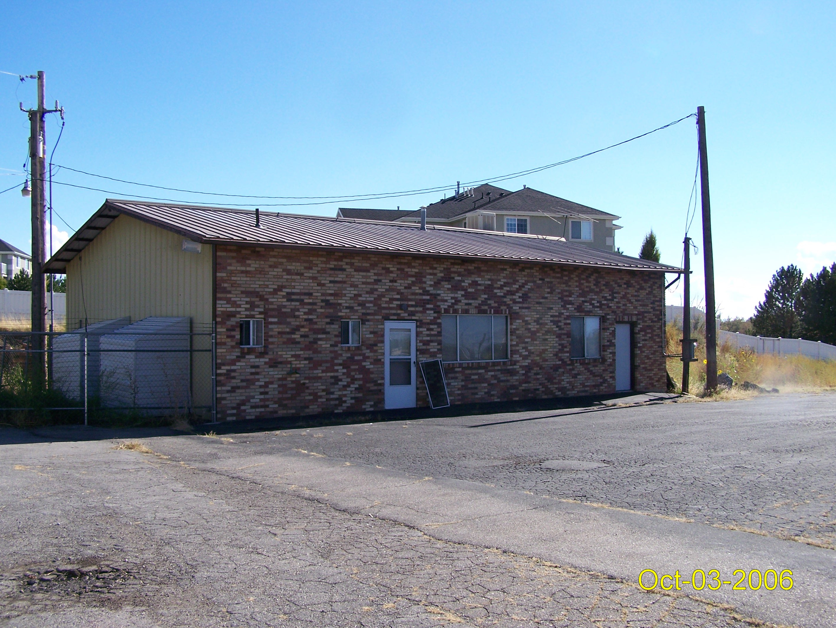
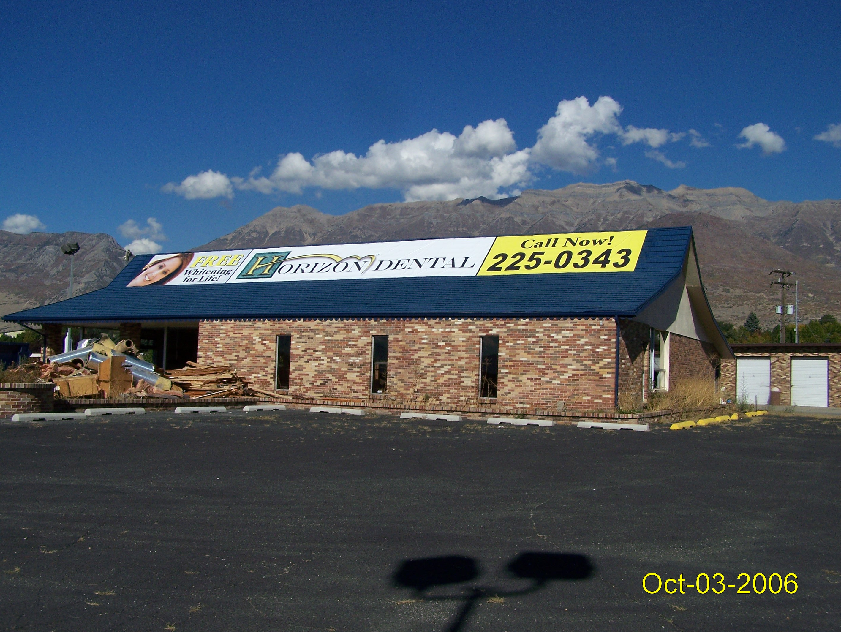 Total Photos: 4
|
| |
|
|
| Property Address: |
|
| Mailing Address: 110 S 500 W PROVO, UT 84601-4223 |
|
| Acreage: 2.122 |
|
| Last Document:
124849-2006
|
|
| Subdivision Map Filing |
|
| Taxing Description:
LOT 3, PLAT A, BOWEN & LEAVITT SUBDV. AREA 2.122 AC.
*Taxing description NOT FOR LEGAL DOCUMENTS
|
|
- Owner Names
- Value History
- Tax History
- Location
- Photos
- Documents
- Aerial Image
| |
----- Real Estate Values ----- |
---Improvements--- |
---Greenbelt--- |
Total |
| Year |
Com |
Res |
Agr |
Tot |
Com |
Res |
Agr |
Tot |
Land |
Homesite |
Tot |
Market Value |
| 2008 |
$1,035,300 |
$0 |
$0 |
$1,035,300 |
$238,400 |
$0 |
$0 |
$238,400 |
$0 |
$0 |
$0 |
$1,273,700 |
| 2007 |
$299,900 |
$0 |
$0 |
$299,900 |
$294,700 |
$0 |
$0 |
$294,700 |
$0 |
$0 |
$0 |
$594,600 |
| 2006 |
$249,948 |
$0 |
$0 |
$249,948 |
$267,866 |
$0 |
$0 |
$267,866 |
$0 |
$0 |
$0 |
$517,814 |
| 2005 |
$249,948 |
$0 |
$0 |
$249,948 |
$267,866 |
$0 |
$0 |
$267,866 |
$0 |
$0 |
$0 |
$517,814 |
| 2004 |
$249,948 |
$0 |
$0 |
$249,948 |
$267,866 |
$0 |
$0 |
$267,866 |
$0 |
$0 |
$0 |
$517,814 |
| 2003 |
$249,948 |
$0 |
$0 |
$249,948 |
$267,866 |
$0 |
$0 |
$267,866 |
$0 |
$0 |
$0 |
$517,814 |
| 2002 |
$249,948 |
$0 |
$0 |
$249,948 |
$267,866 |
$0 |
$0 |
$267,866 |
$0 |
$0 |
$0 |
$517,814 |
| 2001 |
$214,364 |
$0 |
$0 |
$214,364 |
$229,731 |
$0 |
$0 |
$229,731 |
$0 |
$0 |
$0 |
$444,095 |
| Year |
General Taxes |
Adjustments |
Net Taxes |
Fees |
Payments |
Tax Balance* |
Balance Due |
Tax Area |
| 2008 |
$12,812.15 |
$0.00 |
$12,812.15 |
$0.00 |
|
$0.00
|
$0.00 |
090 - OREM CITY |
| 2007 |
$5,912.70 |
$0.00 |
$5,912.70 |
$0.00 |
|
$0.00
|
$0.00 |
090 - OREM CITY |
| 2006 |
$5,483.13 |
$0.00 |
$5,483.13 |
$0.00 |
|
$0.00
|
$0.00 |
090 - OREM CITY |
| 2005 |
$6,188.91 |
$0.00 |
$6,188.91 |
$0.00 |
|
$0.00
|
$0.00 |
090 - OREM CITY |
| 2004 |
$6,079.14 |
$0.00 |
$6,079.14 |
$0.00 |
|
$0.00
|
$0.00 |
090 - OREM CITY |
| 2003 |
$5,898.94 |
$0.00 |
$5,898.94 |
$0.00 |
|
$0.00
|
$0.00 |
090 - OREM CITY |
| 2002 |
$5,390.96 |
$0.00 |
$5,390.96 |
$0.00 |
|
$0.00
|
$0.00 |
090 - OREM CITY |
| 2001 |
$4,579.06 |
$0.00 |
$4,579.06 |
$0.00 |
|
$0.00
|
$0.00 |
090 - OREM CITY |
* Note: Original tax amount (Does not include applicable interest and/or fees).
| Entry # |
Date |
Recorded |
Type |
Party1 (Grantor) |
Party2 (Grantee) |
| 35601-2008 |
03/21/2008 |
03/26/2008 |
D TR |
CM 1600 NORTH LLC |
CONTINENTAL BANK |
| 21004-2008 |
02/07/2008 |
02/22/2008 |
D TR |
CM 1600 NORTH LLC |
CONTINENTAL BANK |
| 19845-2008 |
02/20/2008 |
02/21/2008 |
WD |
CM 1600 NORTH LLC |
CM 1600 NORTH LLC |
| 144095-2007 |
10/03/2007 |
10/04/2007 |
D TR |
CM 1600 NORTH LLC |
FAR WEST BANK |
| 81066-2007 |
05/31/2007 |
06/01/2007 |
N LN |
CM 1600 NORTH LLC |
FRONTIER MILL & CONSTRUCTION LLC BY (ET AL) |
| 124849-2006 |
09/21/2006 |
09/21/2006 |
WD |
BOWEN-LEAVITT REAL ESTATE INC |
CM 1600 NORTH LLC |
| 123460-2006 |
09/15/2006 |
09/19/2006 |
D TR |
EVANS, MARTIN O (ET AL) |
FAR WEST BANK |
| 11501-2005 |
01/14/2005 |
02/03/2005 |
WD |
BOWEN LEAVITT INSURANCE AGENCY INC |
BOWEN LEAVITT REAL ESTATE INC |
| 48215-2000 |
06/16/2000 |
06/20/2000 |
EAS |
BOWEN-LEAVITT INSURANCE AGENCY INC |
MOYLE PETROLEUM COMPANY |
| 46999-2000 |
06/13/2000 |
06/15/2000 |
S PLAT |
LEAVITT, ERIC O (ET AL) |
BOWEN & LEAVITT PLAT A |
Main Menu Comments or Concerns on Value/Appraisal - Assessor's Office
Documents/Owner/Parcel information - Recorder's Office
Address Change for Tax Notice
This page was created on 12/10/2025 8:52:31 PM |