Property Information
mobile view
| Serial Number: 30:049:0059 |
Serial Life: 2012... |
|
|

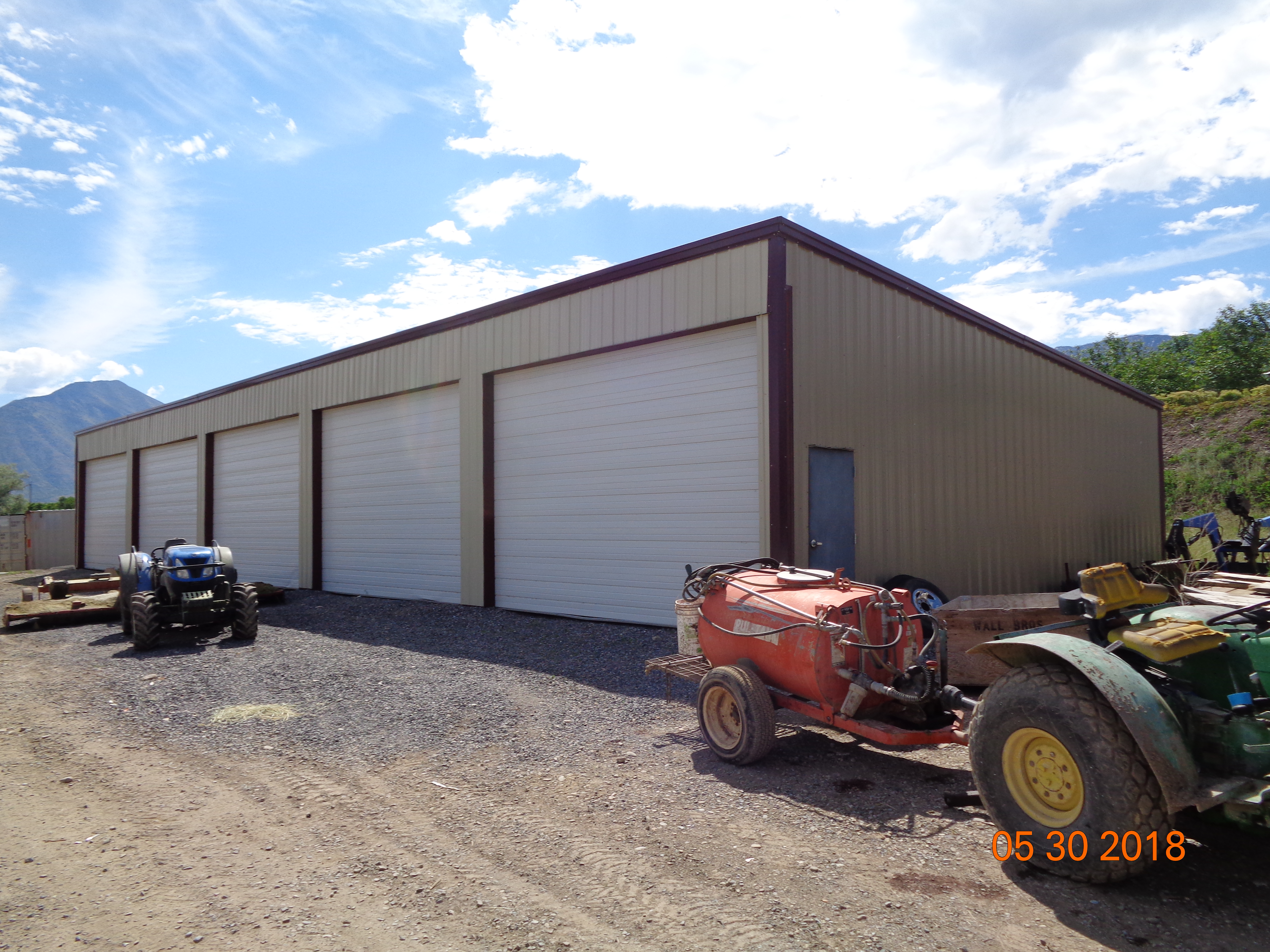
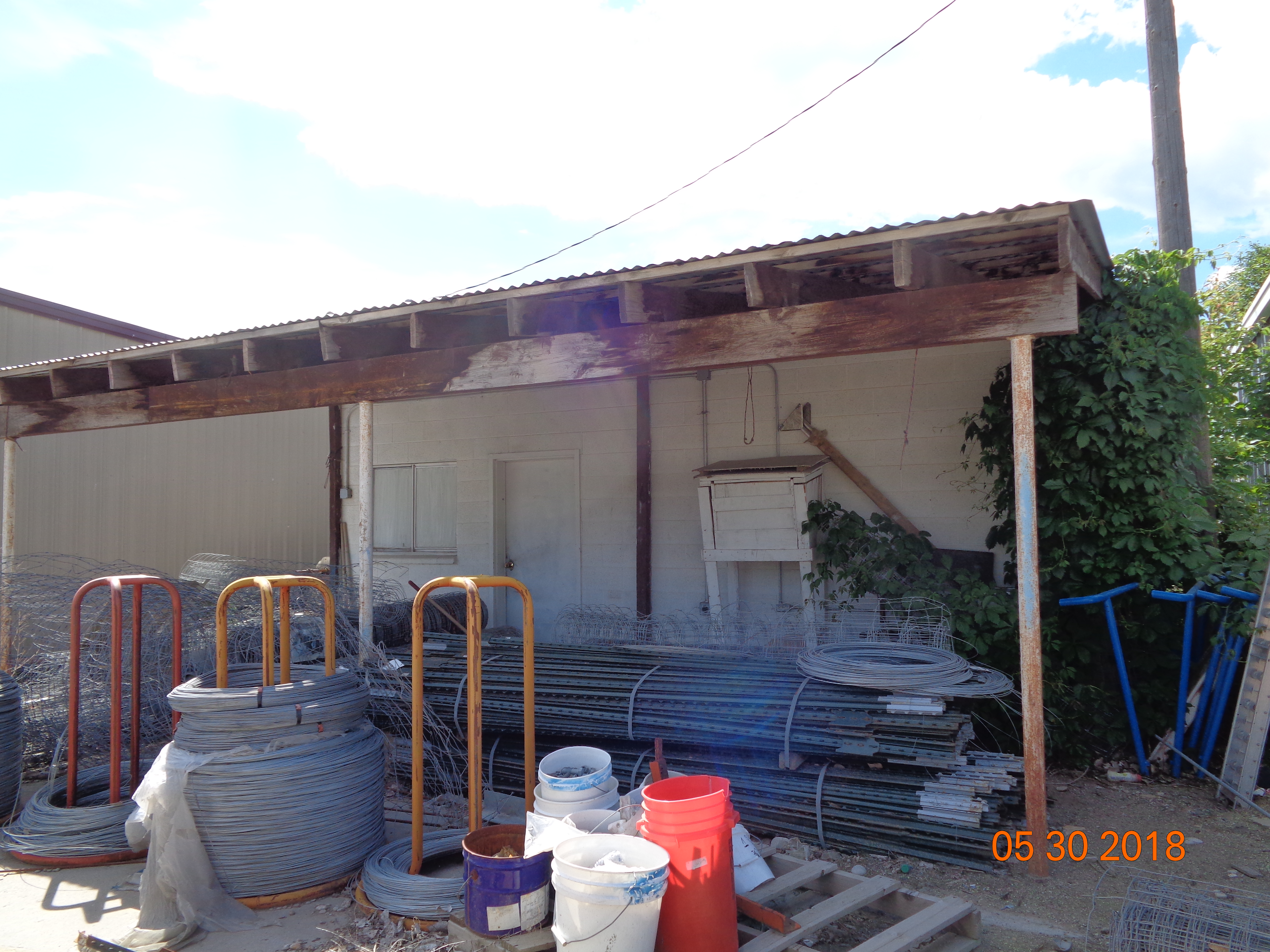
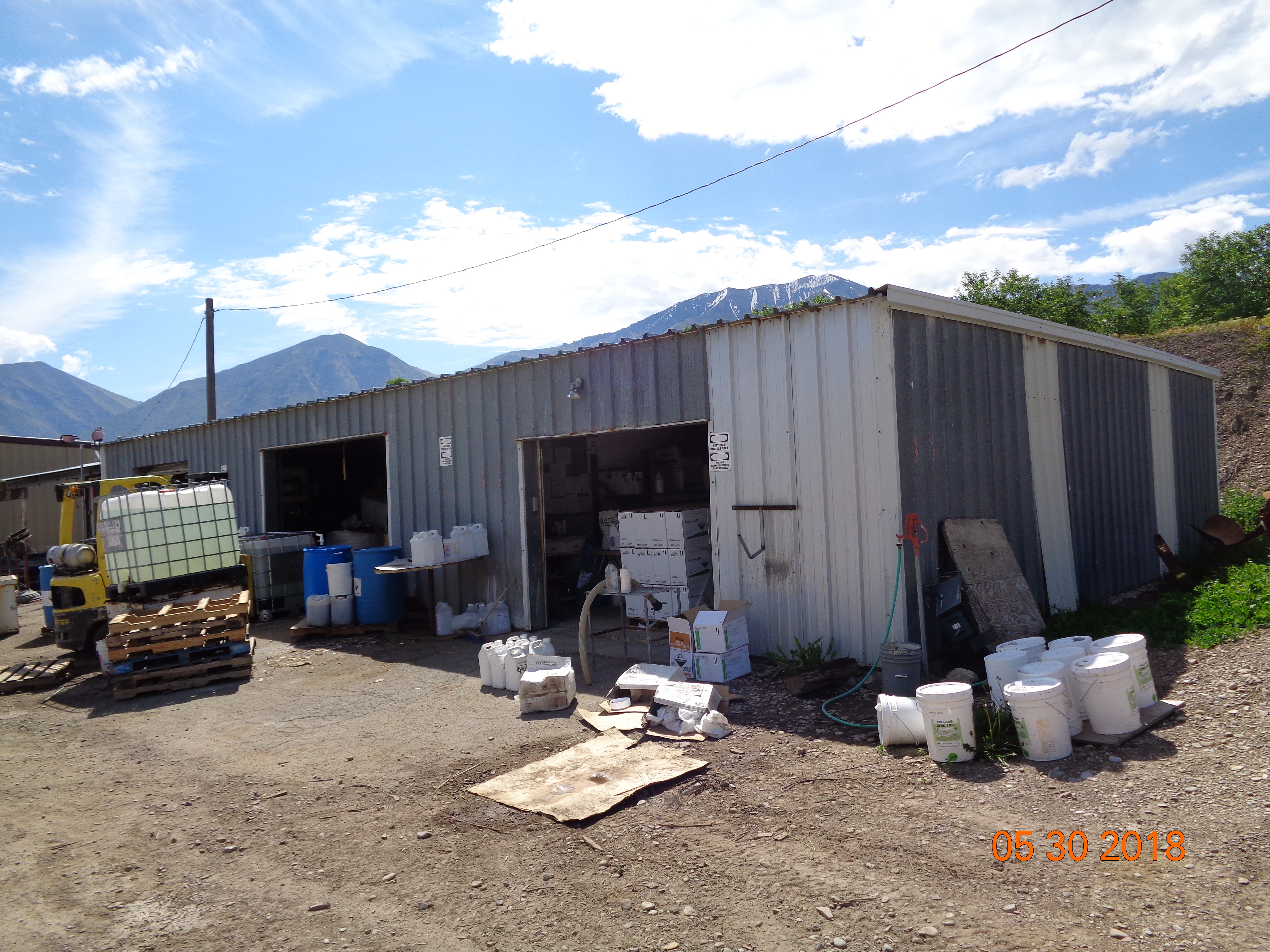
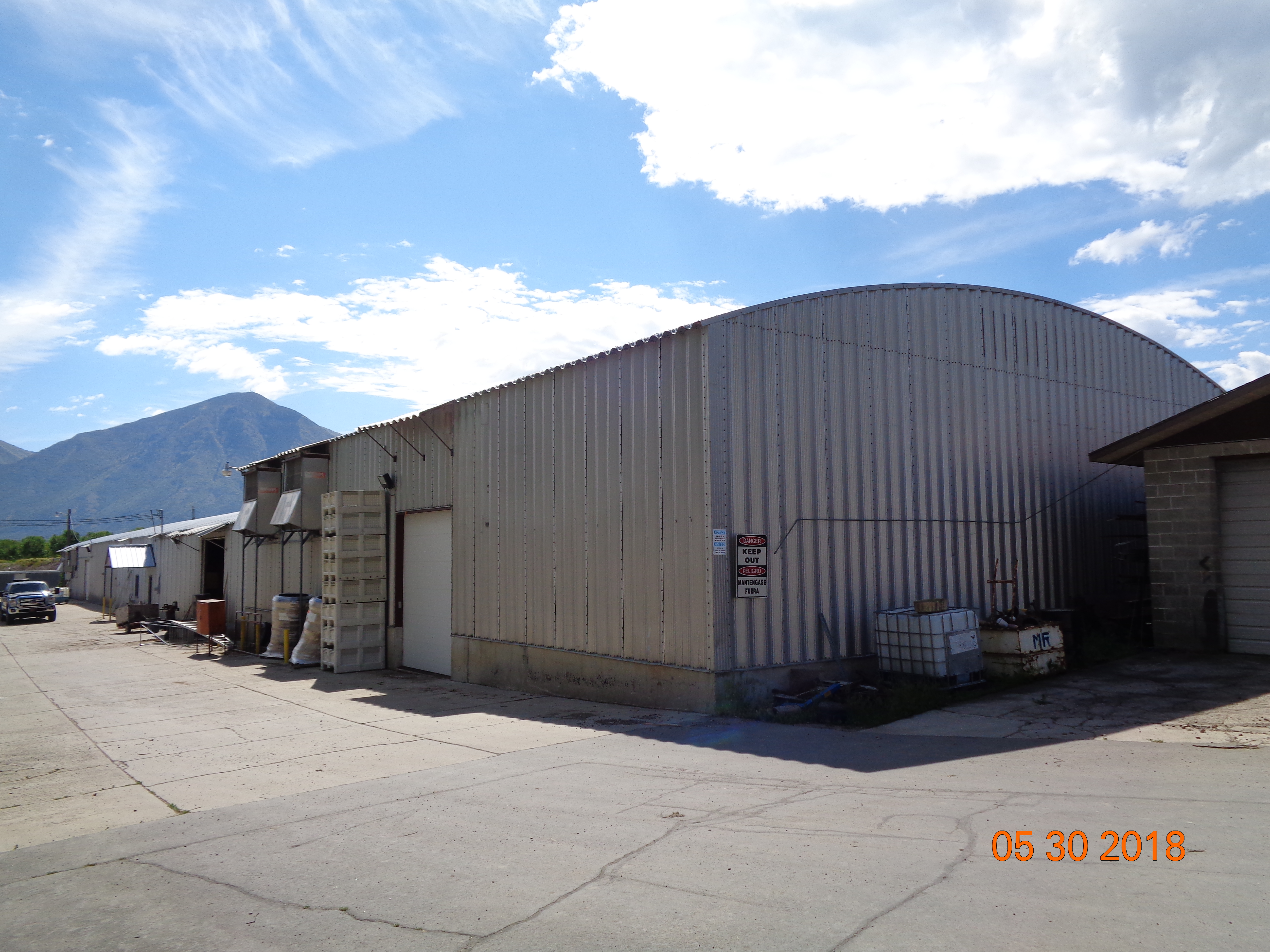
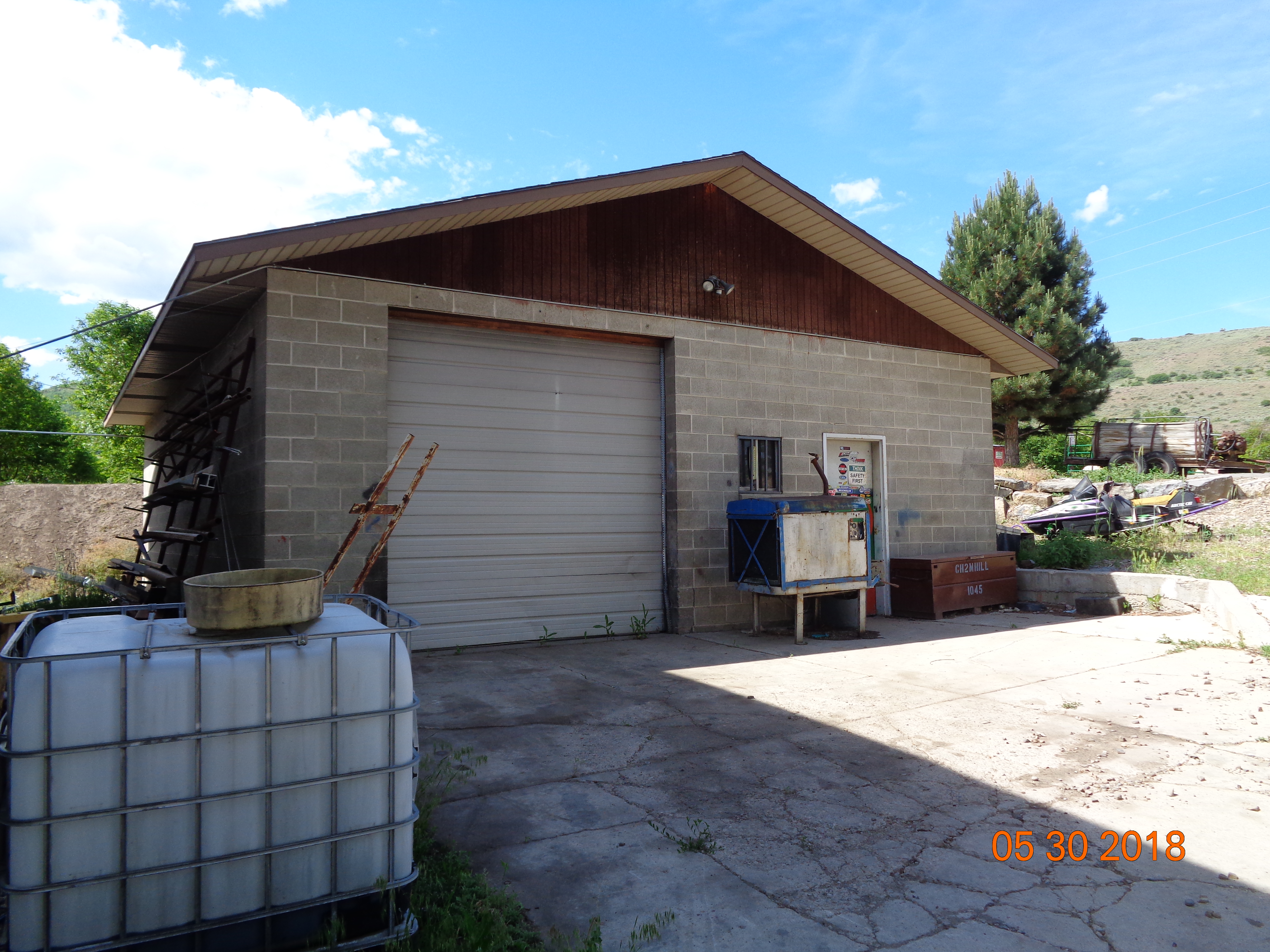
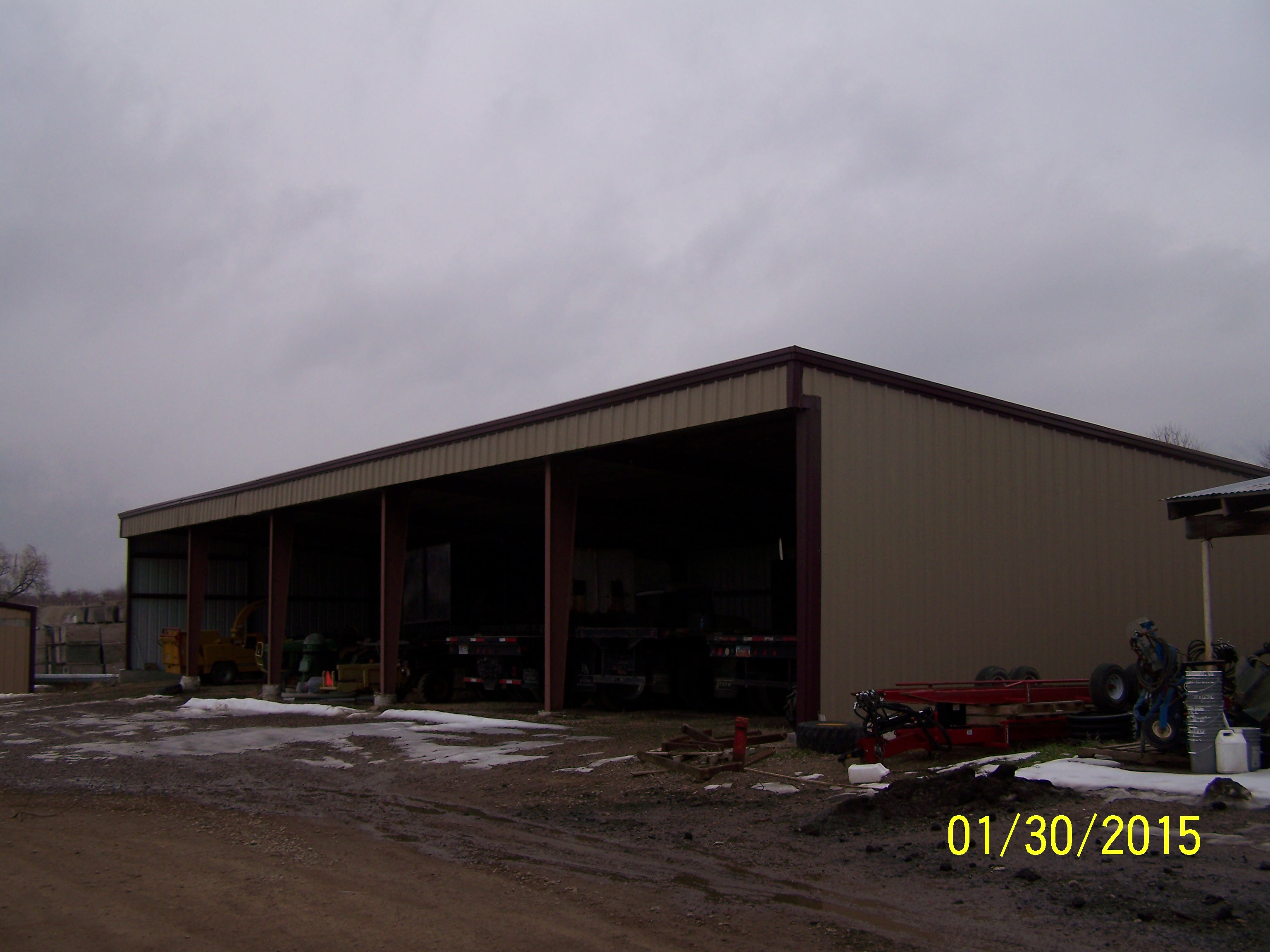
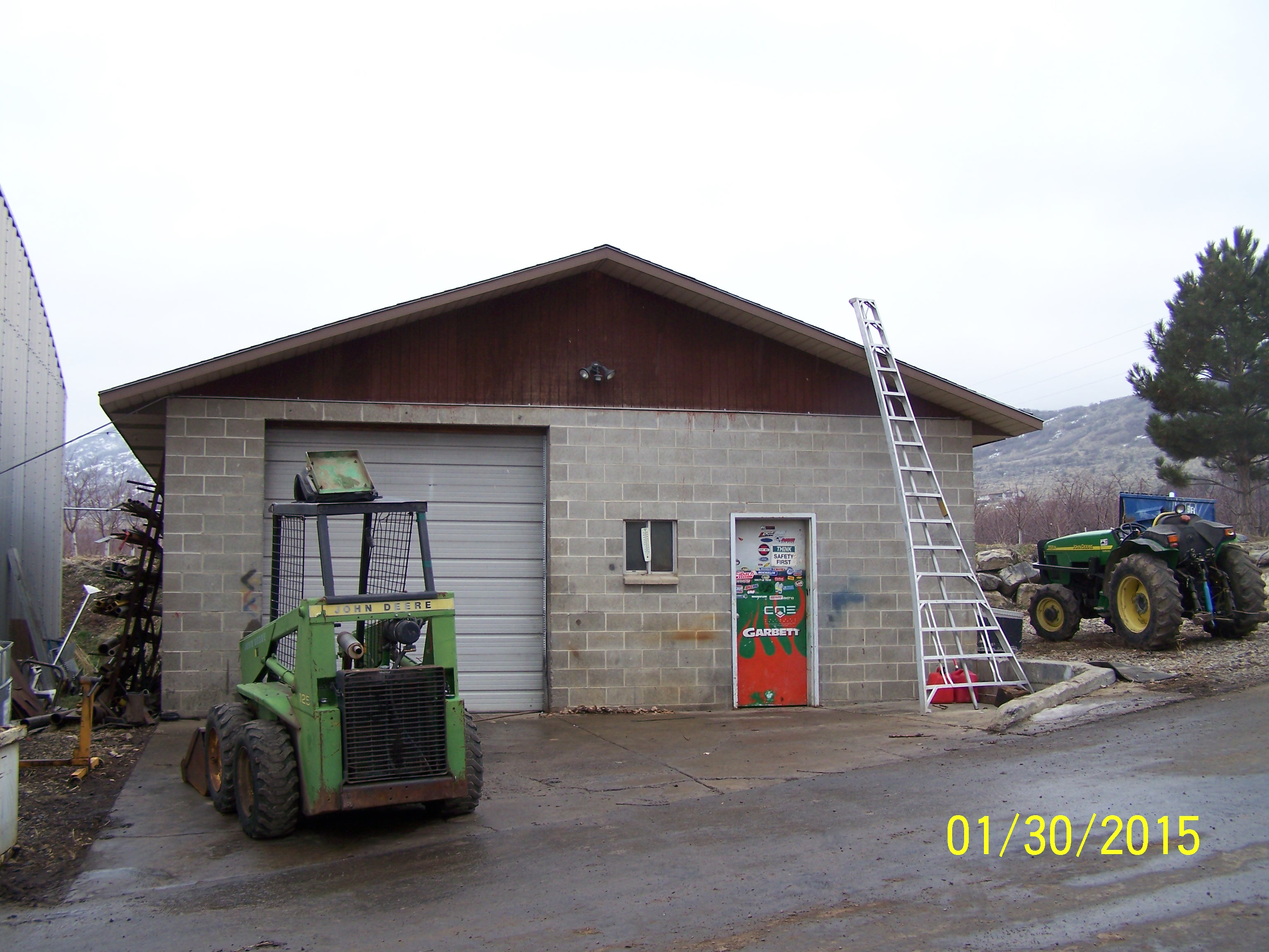
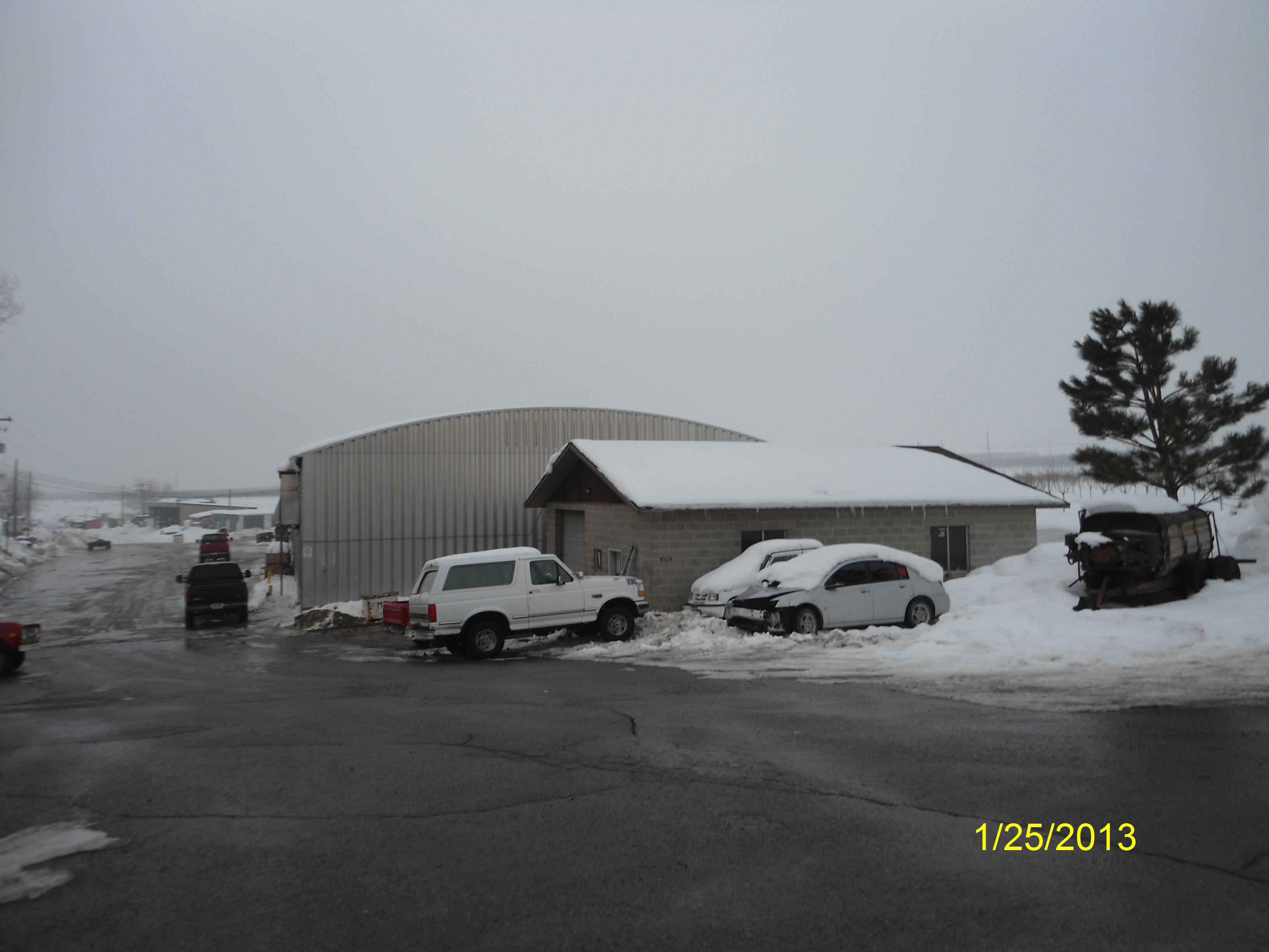
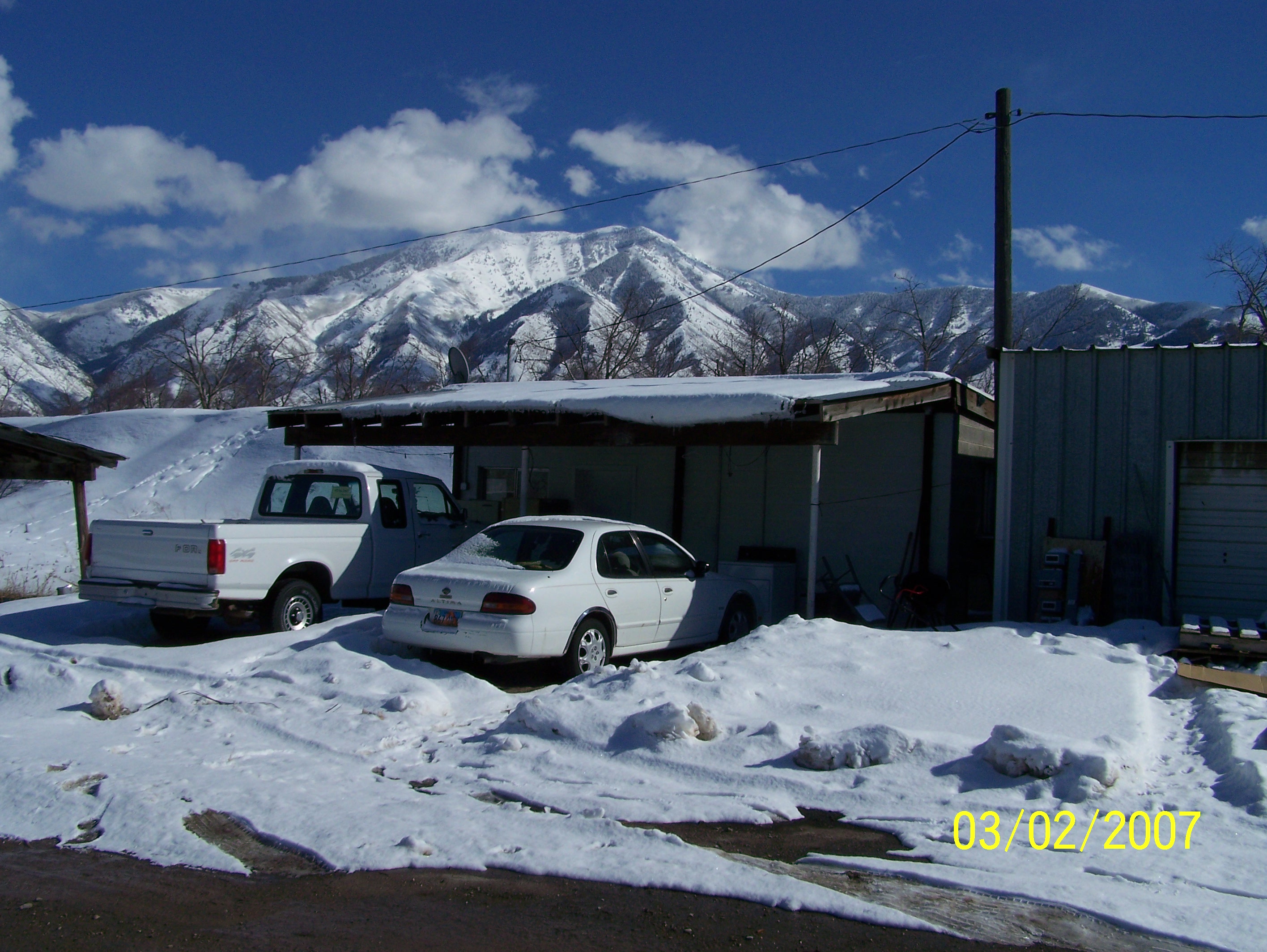
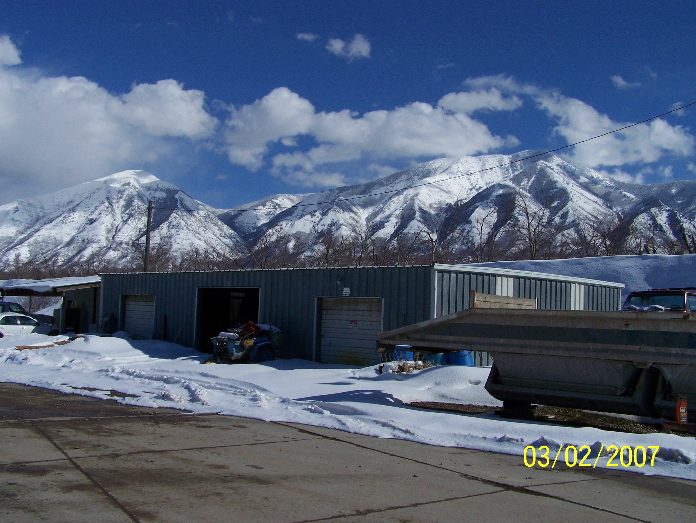
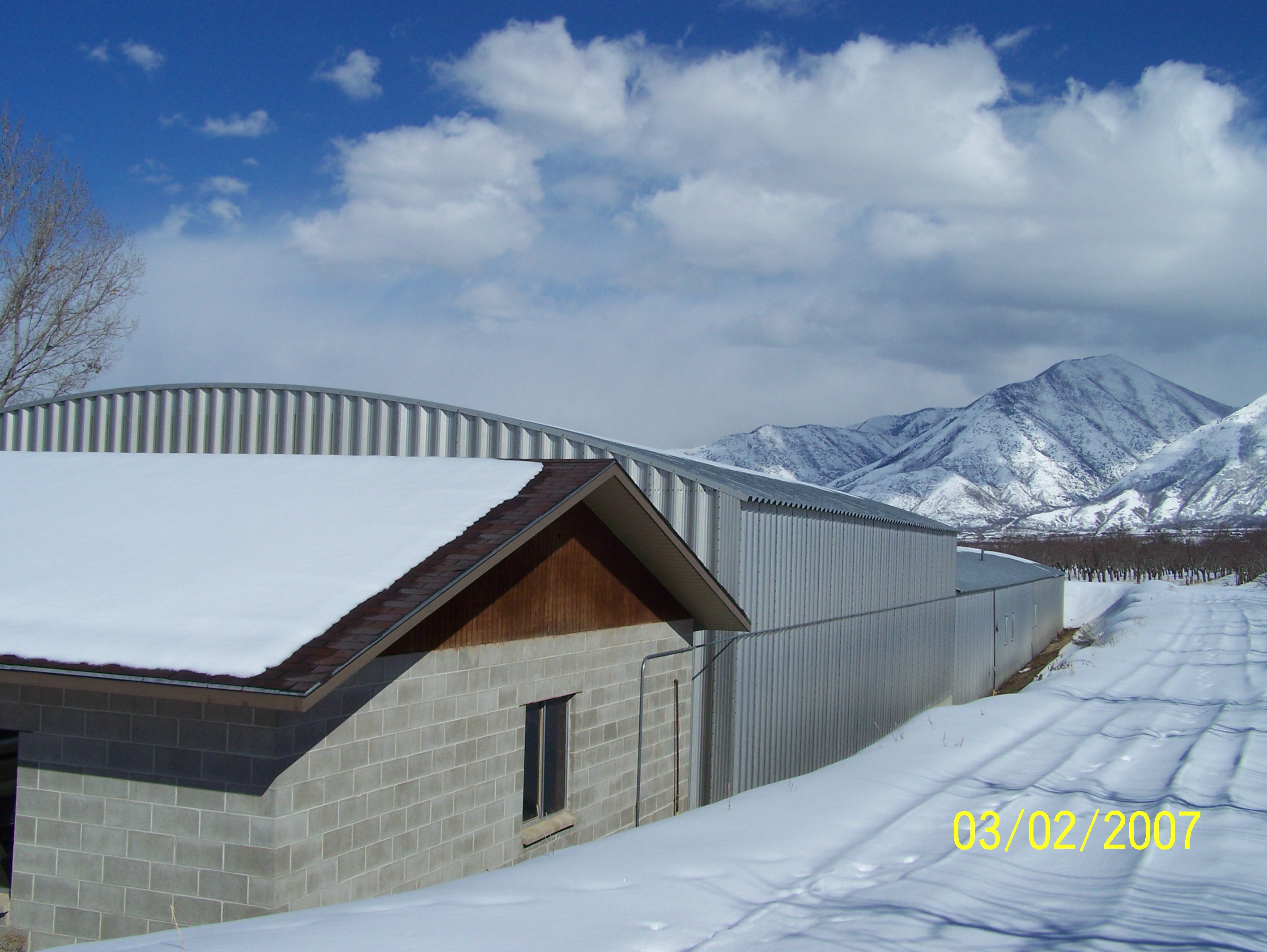
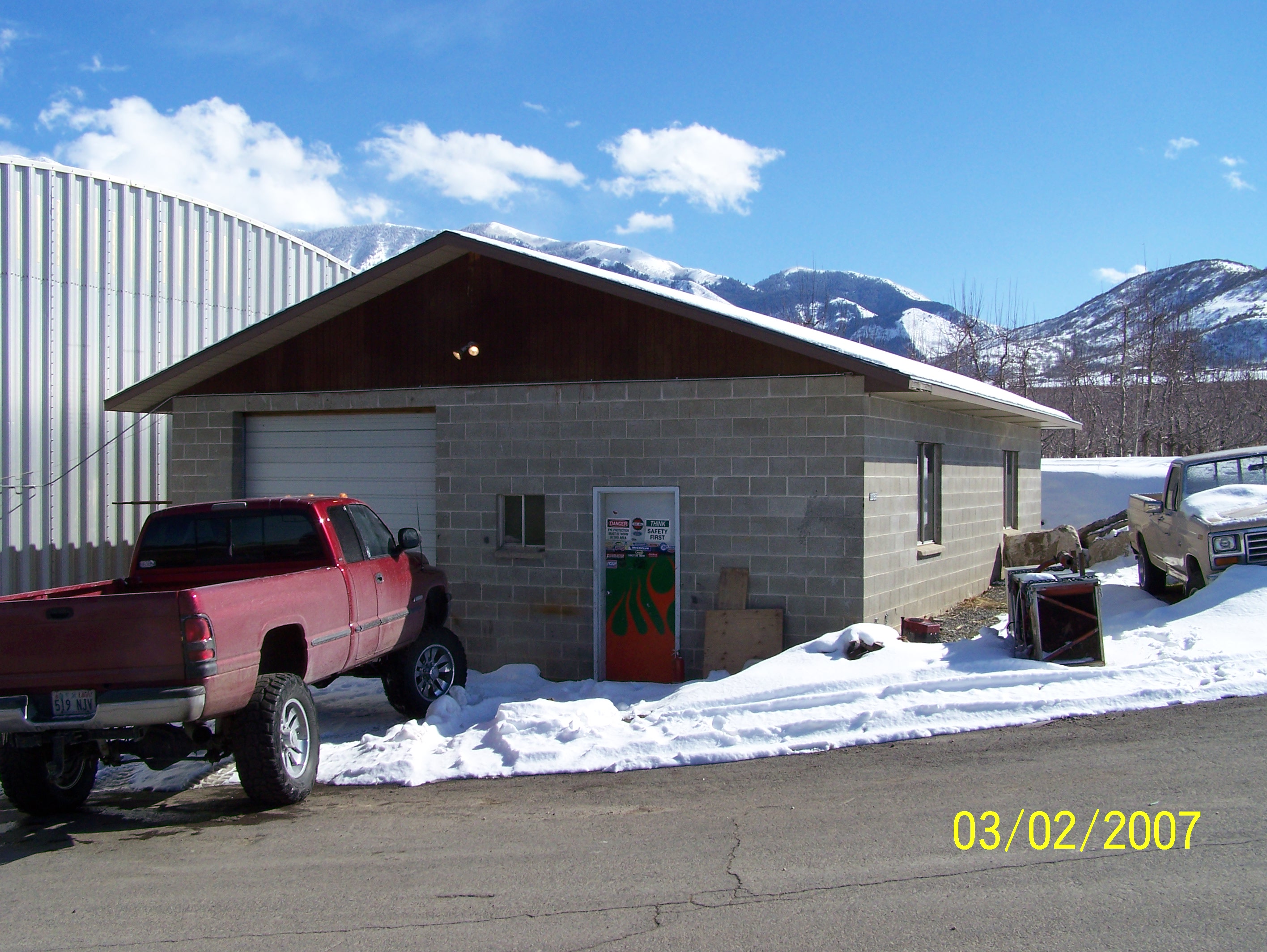
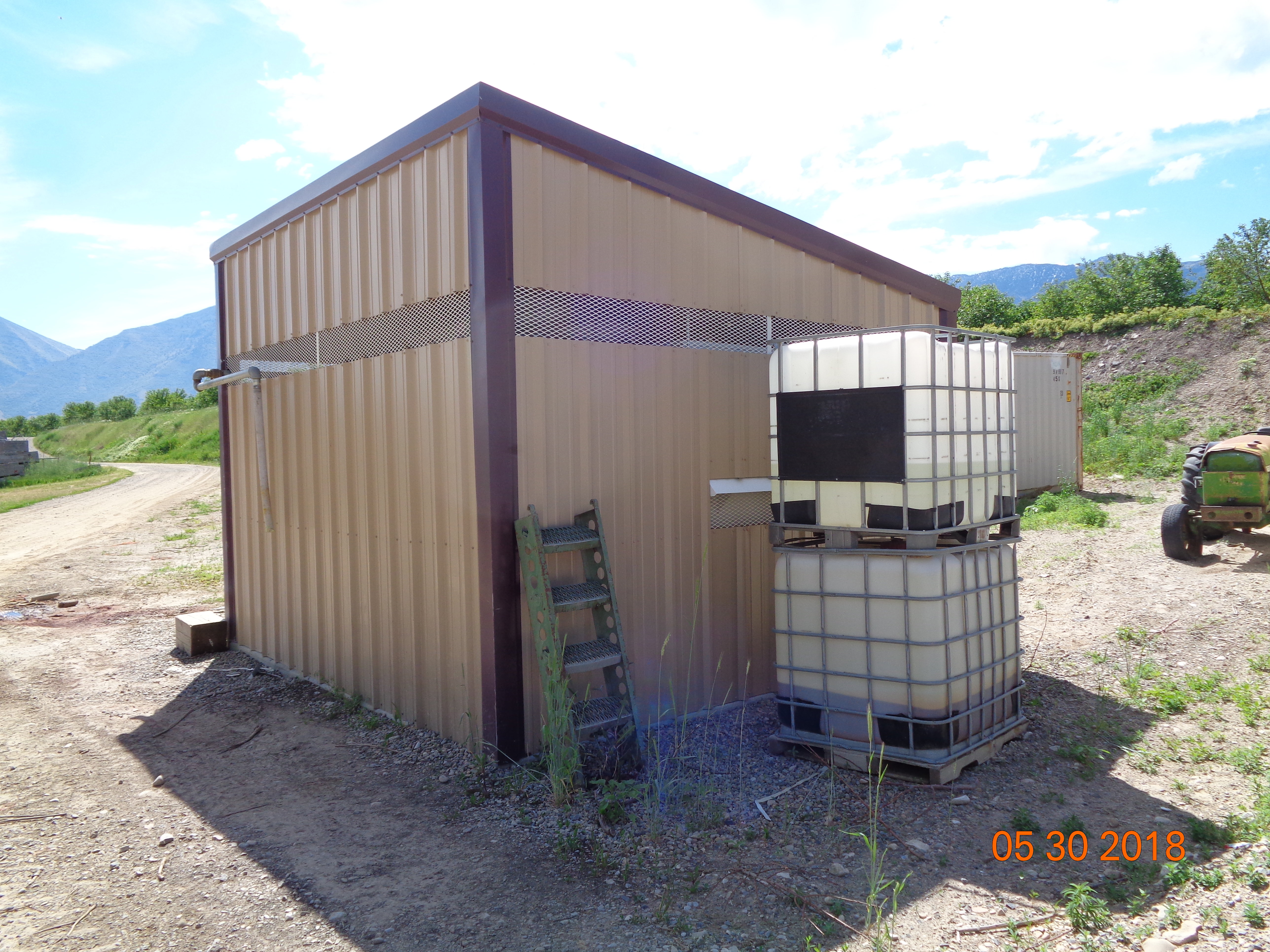
Total Photos: 20
|
| |
|
|
| Property Address: 11093 S 2170 WEST - PAYSON DISTR |
|
| Mailing Address: 11093 S 2170 W PAYSON, UT 84651-9570 |
|
| Acreage: 4.134992 |
|
| Last Document:
83404-2011
|
|
| Subdivision Map Filing |
|
| Taxing Description:
COM N 14.47 CH & W 1 CH FR S 1/4 COR. SEC. 15, T9S, R2E, SLB&M.; S 73 DEG 55' 0" W 789.548 FT; S 76.335 FT; W 414.986 FT; N 1 DEG 22' 30" E 105.278 FT; N 73 DEG 55' 0" E 1218.809 FT; S 147.833 FT TO BEG. AREA 4.135 AC.
*Taxing description NOT FOR LEGAL DOCUMENTS
|
|
- Owner Names
- Value History
- Tax History
- Location
- Photos
- Documents
- Aerial Image
| |
----- Real Estate Values ----- |
---Improvements--- |
---Greenbelt--- |
Total |
| Year |
Com |
Res |
Agr |
Tot |
Com |
Res |
Agr |
Tot |
Land |
Homesite |
Tot |
Market Value |
| 2024 |
$0 |
$0 |
$805,700 |
$805,700 |
$0 |
$0 |
$773,600 |
$773,600 |
$1,941 |
$0 |
$1,941 |
$1,579,300 |
| 2023 |
$0 |
$0 |
$805,700 |
$805,700 |
$0 |
$0 |
$773,600 |
$773,600 |
$1,780 |
$0 |
$1,780 |
$1,579,300 |
| 2022 |
$0 |
$0 |
$859,000 |
$859,000 |
$0 |
$0 |
$773,600 |
$773,600 |
$1,801 |
$0 |
$1,801 |
$1,632,600 |
| 2021 |
$0 |
$0 |
$429,500 |
$429,500 |
$0 |
$0 |
$703,300 |
$703,300 |
$1,764 |
$0 |
$1,764 |
$1,132,800 |
| 2020 |
$0 |
$0 |
$383,500 |
$383,500 |
$0 |
$0 |
$703,300 |
$703,300 |
$1,751 |
$0 |
$1,751 |
$1,086,800 |
| 2019 |
$0 |
$0 |
$328,700 |
$328,700 |
$0 |
$0 |
$703,300 |
$703,300 |
$1,755 |
$0 |
$1,755 |
$1,032,000 |
| 2018 |
$264,800 |
$0 |
$0 |
$264,800 |
$441,500 |
$0 |
$0 |
$441,500 |
$1,958 |
$0 |
$1,958 |
$706,300 |
| 2017 |
$255,800 |
$0 |
$0 |
$255,800 |
$387,600 |
$0 |
$0 |
$387,600 |
$2,053 |
$0 |
$2,053 |
$643,400 |
| 2016 |
$246,800 |
$0 |
$0 |
$246,800 |
$443,500 |
$0 |
$0 |
$443,500 |
$2,011 |
$0 |
$2,011 |
$690,300 |
| 2015 |
$241,400 |
$0 |
$0 |
$241,400 |
$443,500 |
$0 |
$0 |
$443,500 |
$1,999 |
$0 |
$1,999 |
$684,900 |
| 2014 |
$235,800 |
$0 |
$0 |
$235,800 |
$414,400 |
$0 |
$0 |
$414,400 |
$2,069 |
$0 |
$2,069 |
$650,200 |
| 2013 |
$224,600 |
$0 |
$0 |
$224,600 |
$414,400 |
$0 |
$0 |
$414,400 |
$2,193 |
$0 |
$2,193 |
$639,000 |
| 2012 |
$224,600 |
$0 |
$0 |
$224,600 |
$388,600 |
$0 |
$0 |
$388,600 |
$2,143 |
$0 |
$2,143 |
$613,200 |
| Year |
General Taxes |
Adjustments |
Net Taxes |
Fees |
Payments |
Tax Balance* |
Balance Due |
Tax District |
| 2025 |
$0.00 |
$0.00 |
$0.00 |
$0.00 |
|
$0.00
|
$0.00 |
120 - NEBO SCHOOL DIST S/A 6-7-8 |
| 2024 |
$0.00 |
$0.00 |
$0.00 |
$0.00 |
|
$0.00
|
$0.00 |
120 - NEBO SCHOOL DIST S/A 6-7-8 |
| 2023 |
$7,750.70 |
$0.00 |
$7,750.70 |
$0.00 |
|
$0.00
|
$0.00 |
120 - NEBO SCHOOL DIST S/A 6-7-8 |
| 2022 |
$7,892.81 |
$0.00 |
$7,892.81 |
$0.00 |
|
$0.00
|
$0.00 |
120 - NEBO SCHOOL DIST S/A 6-7-8 |
| 2021 |
$8,356.42 |
$0.00 |
$8,356.42 |
$0.00 |
|
$0.00
|
$0.00 |
120 - NEBO SCHOOL DIST S/A 6-7-8 |
| 2020 |
$8,606.56 |
$0.00 |
$8,606.56 |
$0.00 |
|
$0.00
|
$0.00 |
120 - NEBO SCHOOL DIST S/A 6-7-8 |
| 2019 |
$8,434.57 |
$0.00 |
$8,434.57 |
$0.00 |
|
$0.00
|
$0.00 |
120 - NEBO SCHOOL DIST S/A 6-7-8 |
| 2018 |
$5,545.00 |
$0.00 |
$5,545.00 |
$0.00 |
|
$0.00
|
$0.00 |
120 - NEBO SCHOOL DIST S/A 6-7-8 |
| 2017 |
$5,011.72 |
$0.00 |
$5,011.72 |
$0.00 |
|
$0.00
|
$0.00 |
120 - NEBO SCHOOL DIST S/A 6-7-8 |
| 2016 |
$5,910.15 |
$0.00 |
$5,910.15 |
$0.00 |
|
$0.00
|
$0.00 |
120 - NEBO SCHOOL DIST S/A 6-7-8 |
| 2015 |
$5,959.89 |
$0.00 |
$5,959.89 |
$0.00 |
|
$0.00
|
$0.00 |
120 - NEBO SCHOOL DIST S/A 6-7-8 |
| 2014 |
$5,568.61 |
$0.00 |
$5,568.61 |
$0.00 |
|
$0.00
|
$0.00 |
120 - NEBO SCHOOL DIST S/A 6-7-8 |
| 2013 |
$5,794.39 |
$0.00 |
$5,794.39 |
$0.00 |
|
$0.00
|
$0.00 |
120 - NEBO SCHOOL DIST S/A 6-7-8 |
| 2012 |
$5,503.62 |
$0.00 |
$5,503.62 |
$0.00 |
|
$0.00
|
$0.00 |
120 - NEBO SCHOOL DIST S/A 6-7-8 |
* Note: Original tax amount (Does not include applicable interest and/or fees).
| Entry # |
Date |
Recorded |
Type |
Party1 (Grantor) |
Party2 (Grantee) |
| 88381-2017 |
09/05/2017 |
09/08/2017 |
N |
UTAH COUNTY COMMISSIONERS |
WHOM OF INTEREST |
| 3187-2015 |
12/04/2014 |
01/14/2015 |
QCD |
UNITED STATES OF AMERICA |
SOUTH UTAH VALLEY ELECTRIC SERVICE DISTRICT |
| 88473-2013 |
07/23/2013 |
09/16/2013 |
FARM |
ALLRED PROPERTIES LTD (ET AL) |
WHOM OF INTEREST |
| 83404-2011 |
11/21/2011 |
11/21/2011 |
WD |
ALLRED PROPERTIES BY (ET AL) |
ALLRED PROPERTIES |
Main Menu Comments or Concerns on Value/Appraisal - Assessor's Office
Documents/Owner/Parcel information - Recorder's Office
Address Change for Tax Notice
This page was created on 6/4/2024 10:13:01 PM |

