UtahCounty.Gov - The Official Website of Utah County Government

Property Information

mobile view

Serial Number: 27:033:0121 Serial Life: 1995...    
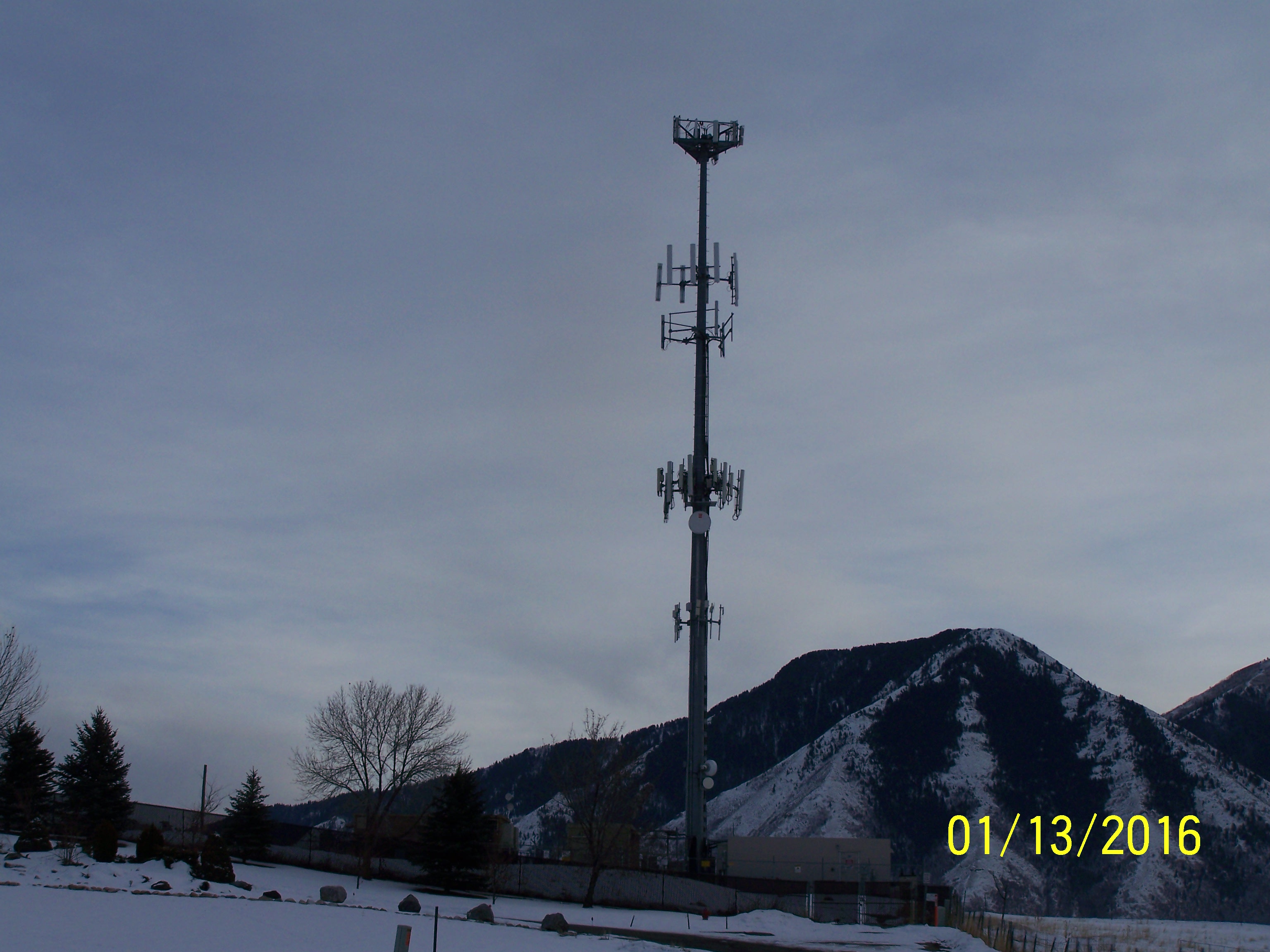
Parcel Photo
Total Photos: 1
     
Property Address:  3135 S 450 WEST - MAPLETON  
Mailing Address: 35 E MAPLE ST MAPLETON, UT 84664  
Acreage: 0.727  
Last Document: 12204-1989  
Subdivision Map Filing   
Taxing Description:  COM N 142.74 FT & E 1044.35 FT FR S 1/4 COR. SEC. 22, T8S, R3E, SLB&M.; S 0 DEG 41' 57" E 129.99 FT; N 89 DEG 18' 3" E 265 FT; N 0 DEG 41' 57" W 76 FT; N 45 DEG 41' 57" W 48.08 FT; S 89 DEG 18' 3" W 66.01 FT; N 45 DEG 41' 51" W 28.27 FT; S 89 DEG 18' 3" W 145 FT TO BEG. AREA 0.727 AC.

*Taxing description NOT FOR LEGAL DOCUMENTS


  • Owner Names
  • Value History
  • Tax History
  • Location
  • Photos
  • Documents
  • Aerial Image
  
1995...   MAPLETON CITY CORPORATION
 
----- Real Estate Values -----
---Improvements---
---Greenbelt---
Total
Year
Com
Res
Agr
Tot
Com
Res
Agr
Tot
Land
Homesite
Tot
    Market Value
Year
General Taxes
Adjustments
Net Taxes
Fees
Payments
Tax Balance*
Balance Due
Tax District

* Note: Original tax amount (Does not include applicable interest and/or fees).
Parcel Photo
Entry # Date Recorded Type Party1 (Grantor) Party2 (Grantee)
8166-2018 09/26/2017 01/25/2018 MEM LS MAPLETON CITY CORPORATION VERIZON WIRELESS (VAW) LLC DBA (ET AL)
3187-2015 12/04/2014 01/14/2015 QCD UNITED STATES OF AMERICA SOUTH UTAH VALLEY ELECTRIC SERVICE DISTRICT
121429-2004 10/06/2004 10/26/2004 MEM MAPLETON CITY CORPORATION AMERICAN TOWER DELAWARE CORPORATION
42075-2000 01/19/2000 05/30/2000 MEM LS AIRTOUCH COMMUNICATIONS INC AMERICAN TOWER DELAWARE CORPORATION
72362-1994 02/25/1994 09/13/1994 LS AGR US WEST NEWVECTOR GROUP INC MAPLETON CITY CORPORATION
31581-1994 03/15/1994 04/15/1994 S PLAT ALLAN, DEAN S & JEAN A HORIZON HEIGHTS


Main Menu

Comments or Concerns on Value/Appraisal - Assessor's Office
Documents/Owner/Parcel information - Recorder's Office
Address Change for Tax Notice

This page was created on 5/23/2024 2:53:16 AM