Property Information
mobile view
| Serial Number: 24:066:0079 |
Serial Life: 2013-2016 |
|
|
Total Photos: 20
|
| |
|
|
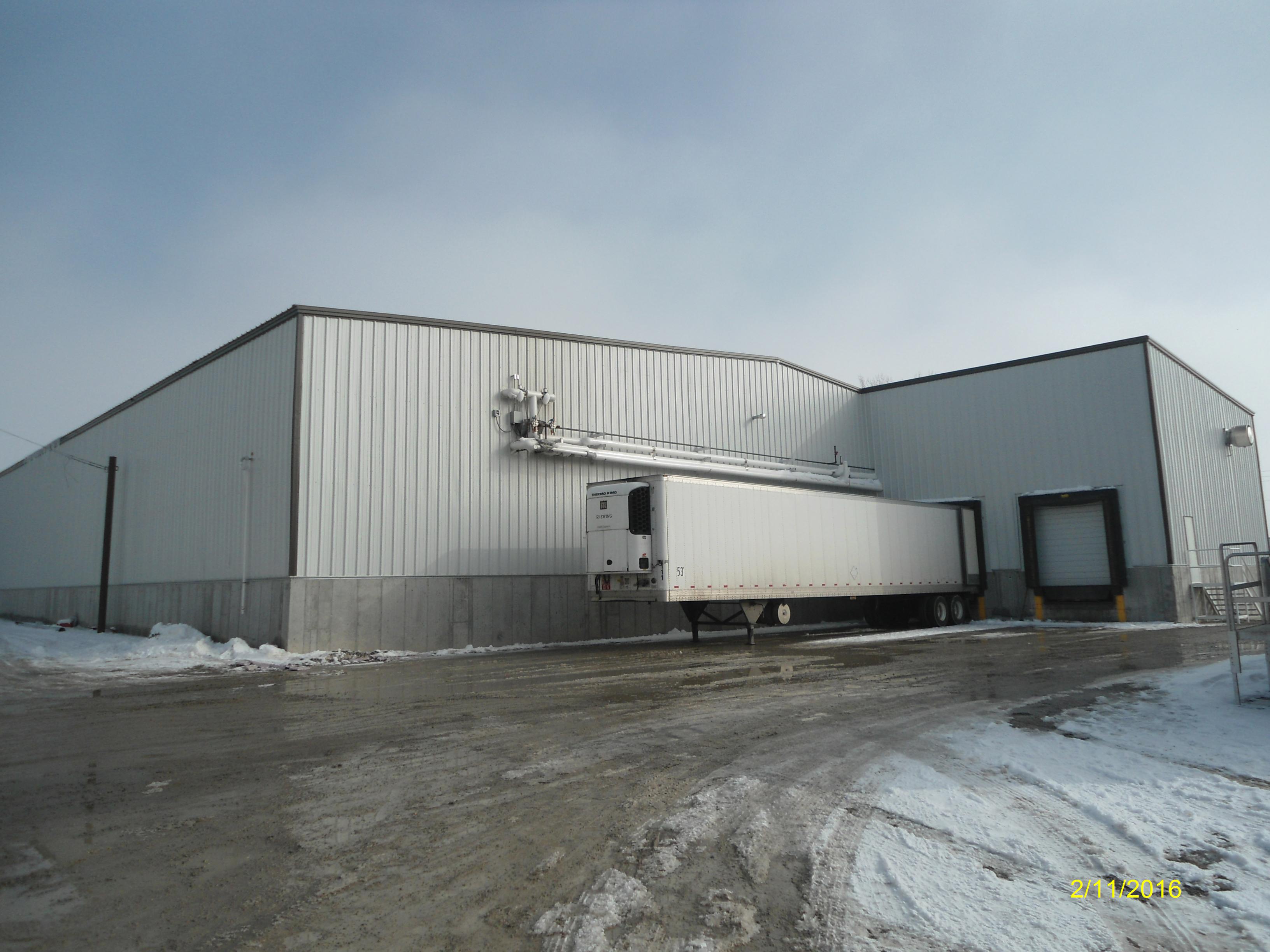
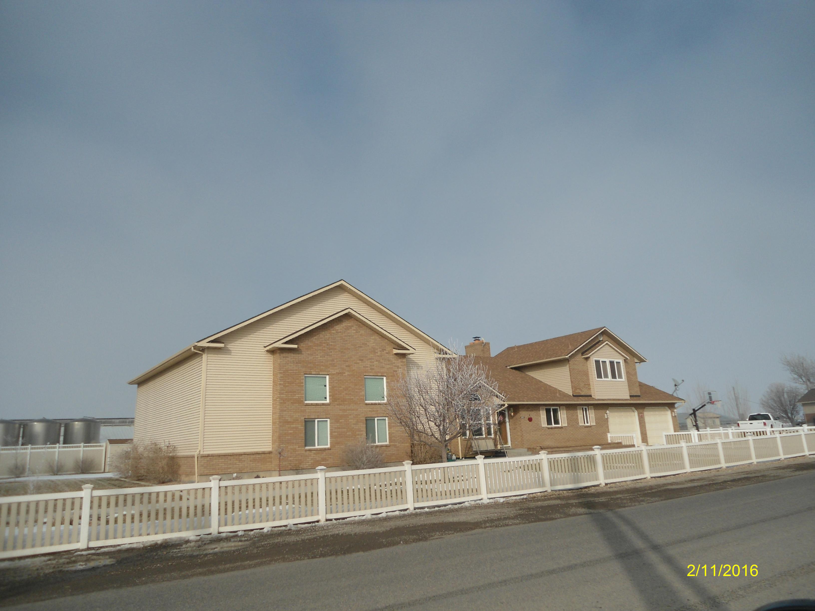
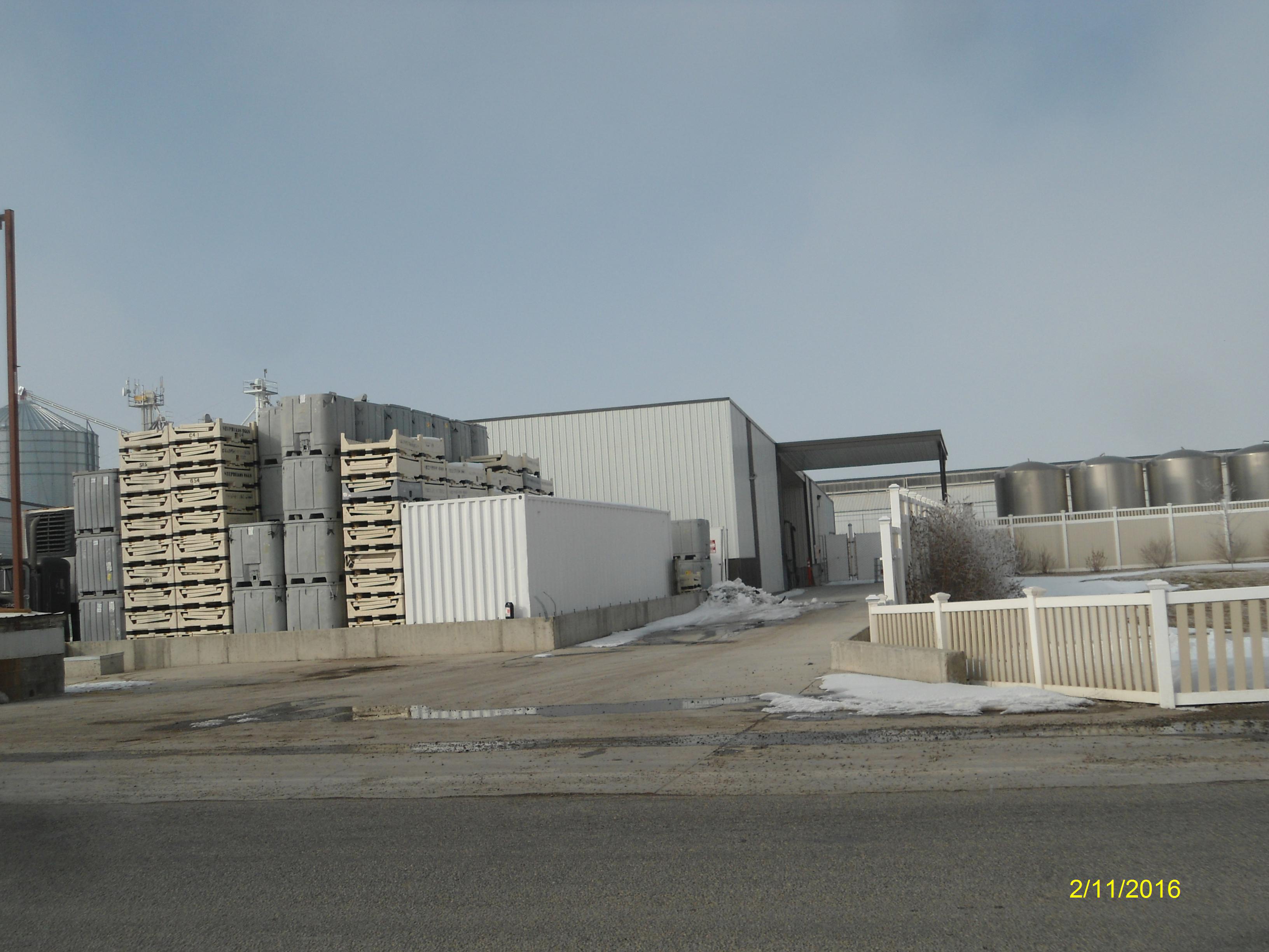
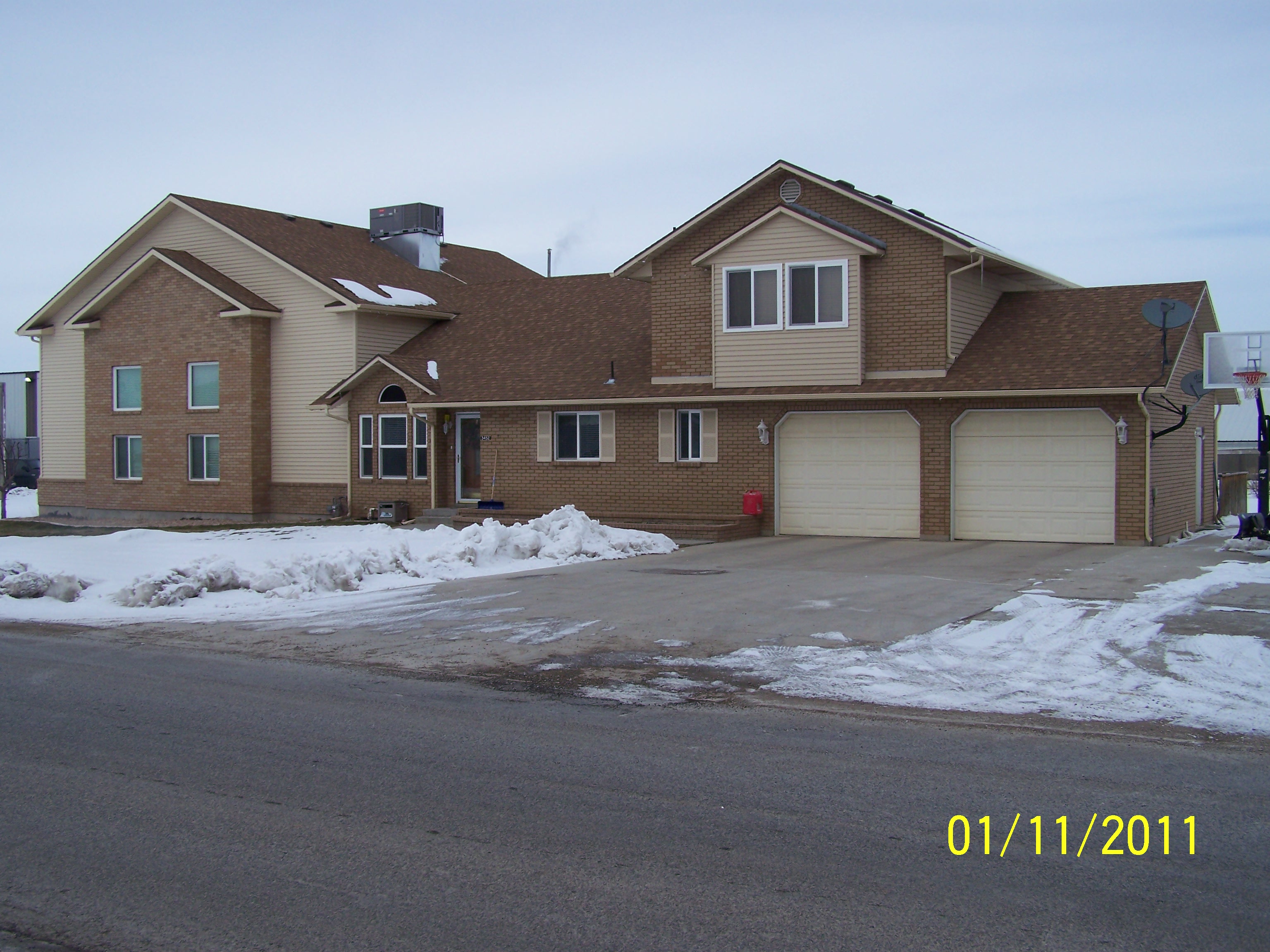
| Property Address: 3452 W 6400 SOUTH - SPANISH FORK DISTR
more see "Addrs" tab below..
|
|
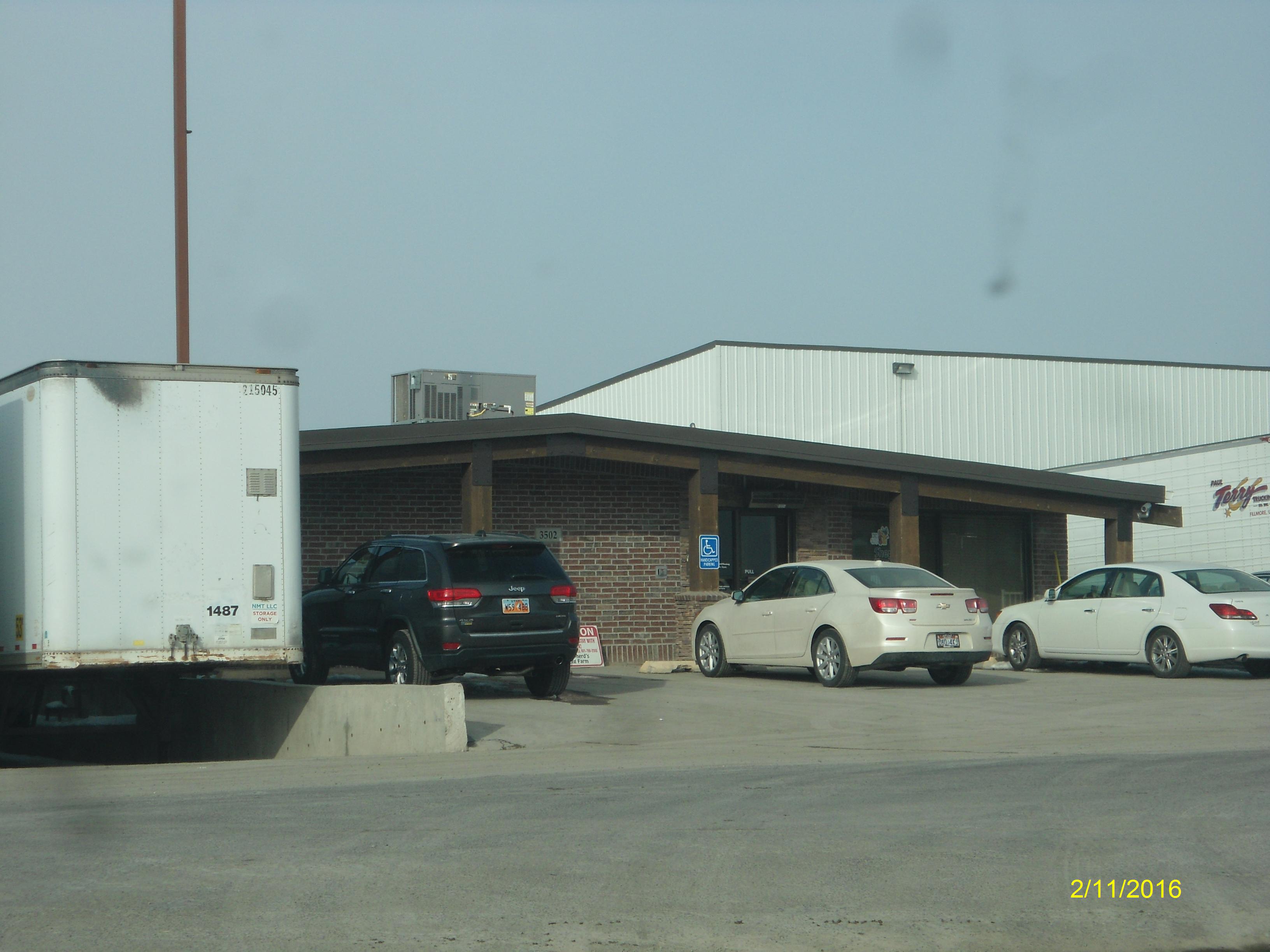
| Mailing Address: 3502 W 6400 S SPANISH FORK, UT 84660-5766 |
|
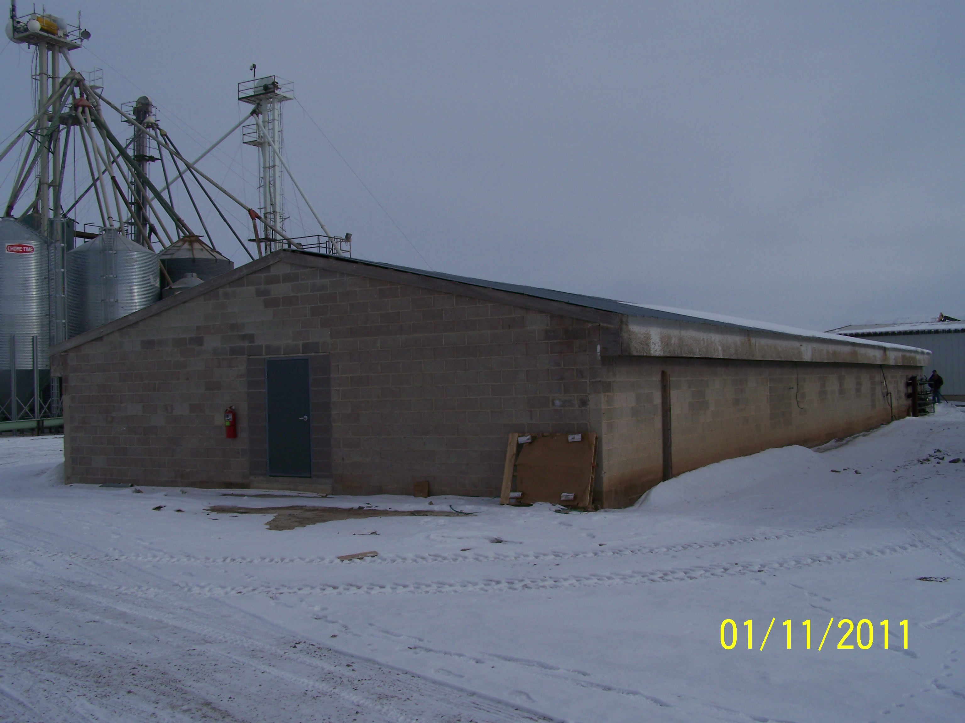
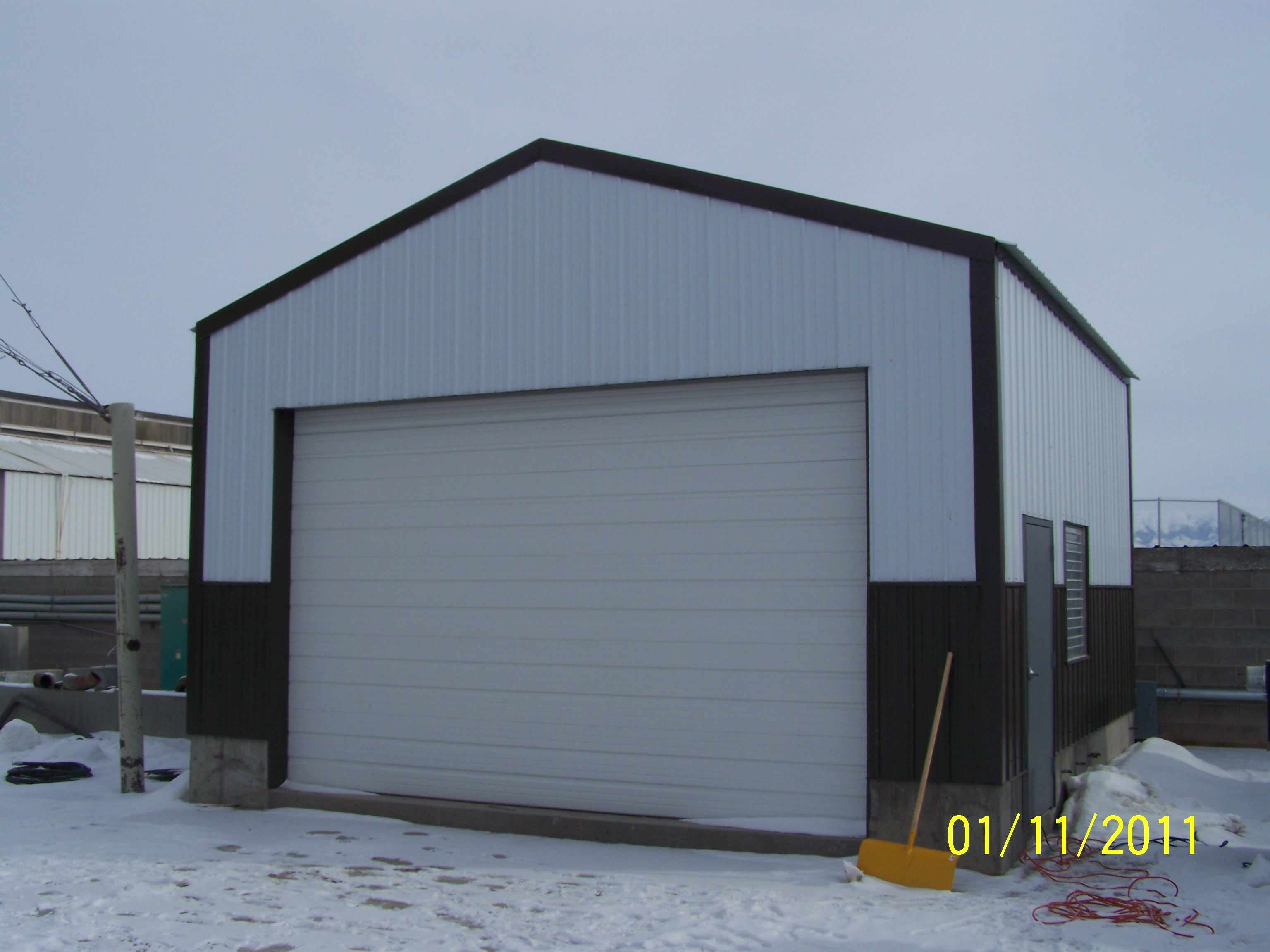
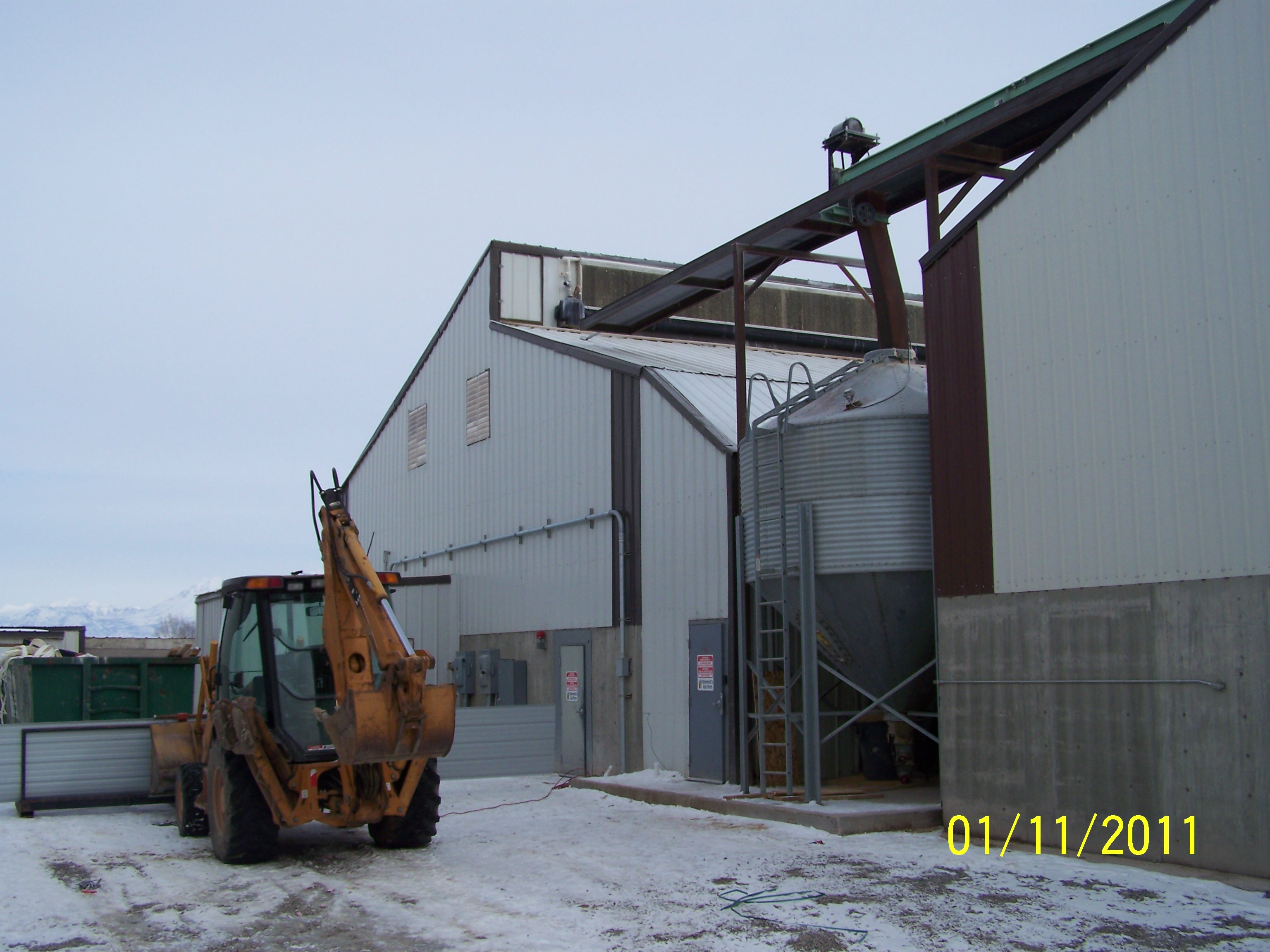
| Acreage: 9.431045 |
|
| Last Document:
73480-2012
|
|
| Subdivision Map Filing |
|
| Taxing Description:
COM E 643.68 FT FR S 1/4 COR. SEC. 17, T8S, R2E, SLB&M.; N 166 FT; W 396.5 FT; N 494 FT; E 773.19 FT; S 275 FT; W 260 FT; S 102 FT; E 95 FT; S 98 FT; E 215 FT; S 185 FT; W 426.69 FT TO BEG. AREA 9.431 AC.
*Taxing description NOT FOR LEGAL DOCUMENTS
|
|
- Owner Names
- Value History
- Tax History
- Location
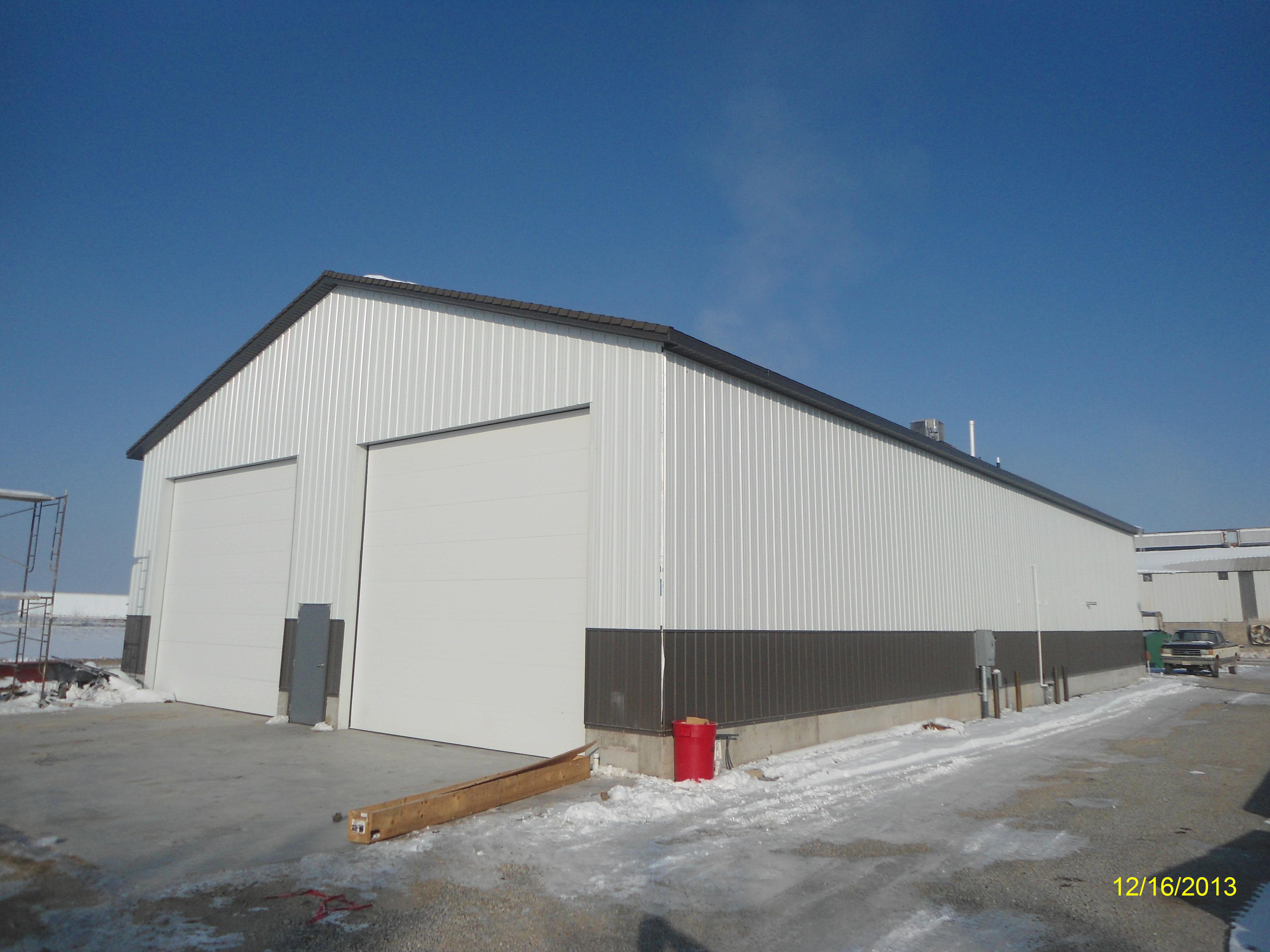
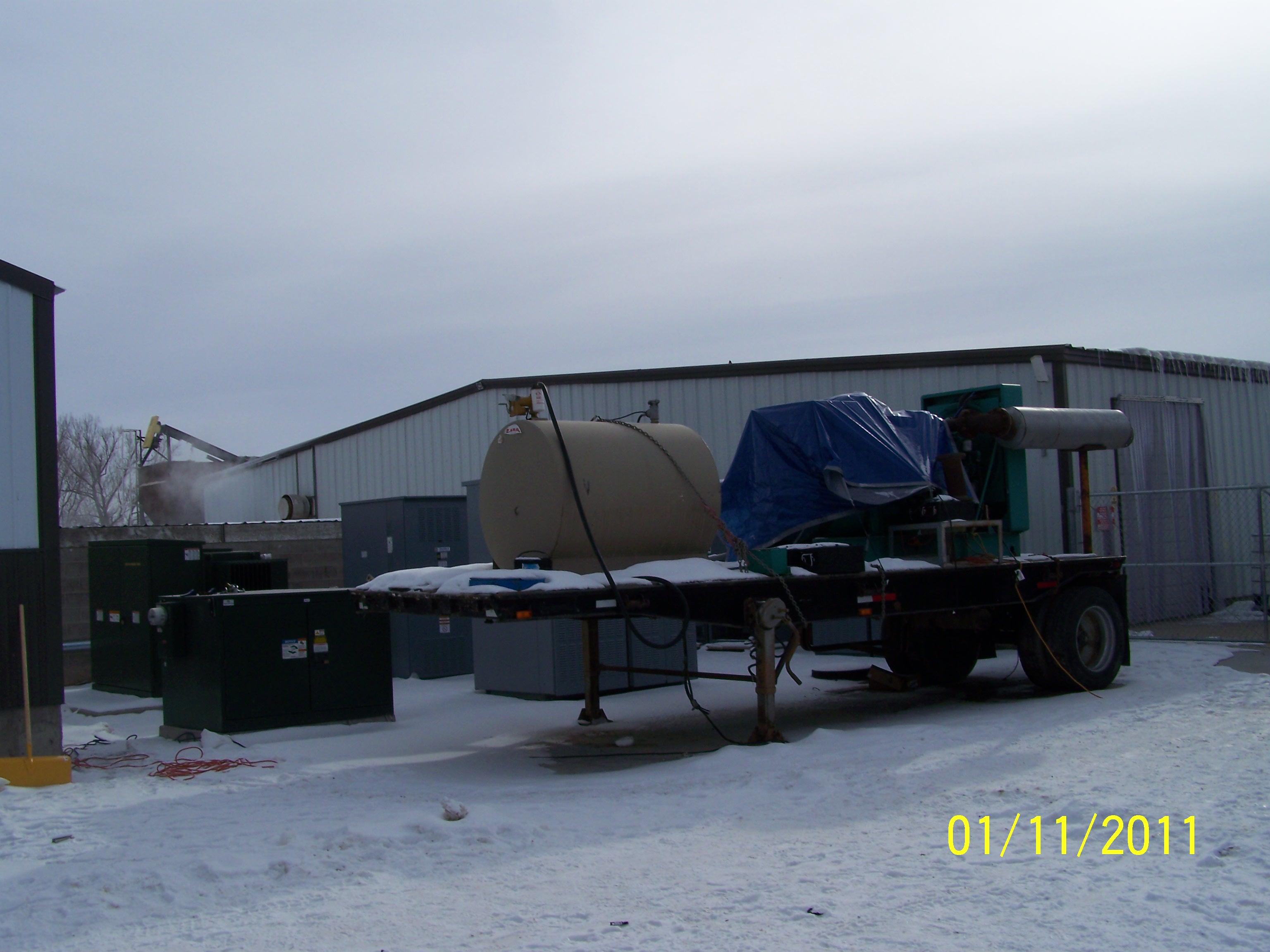
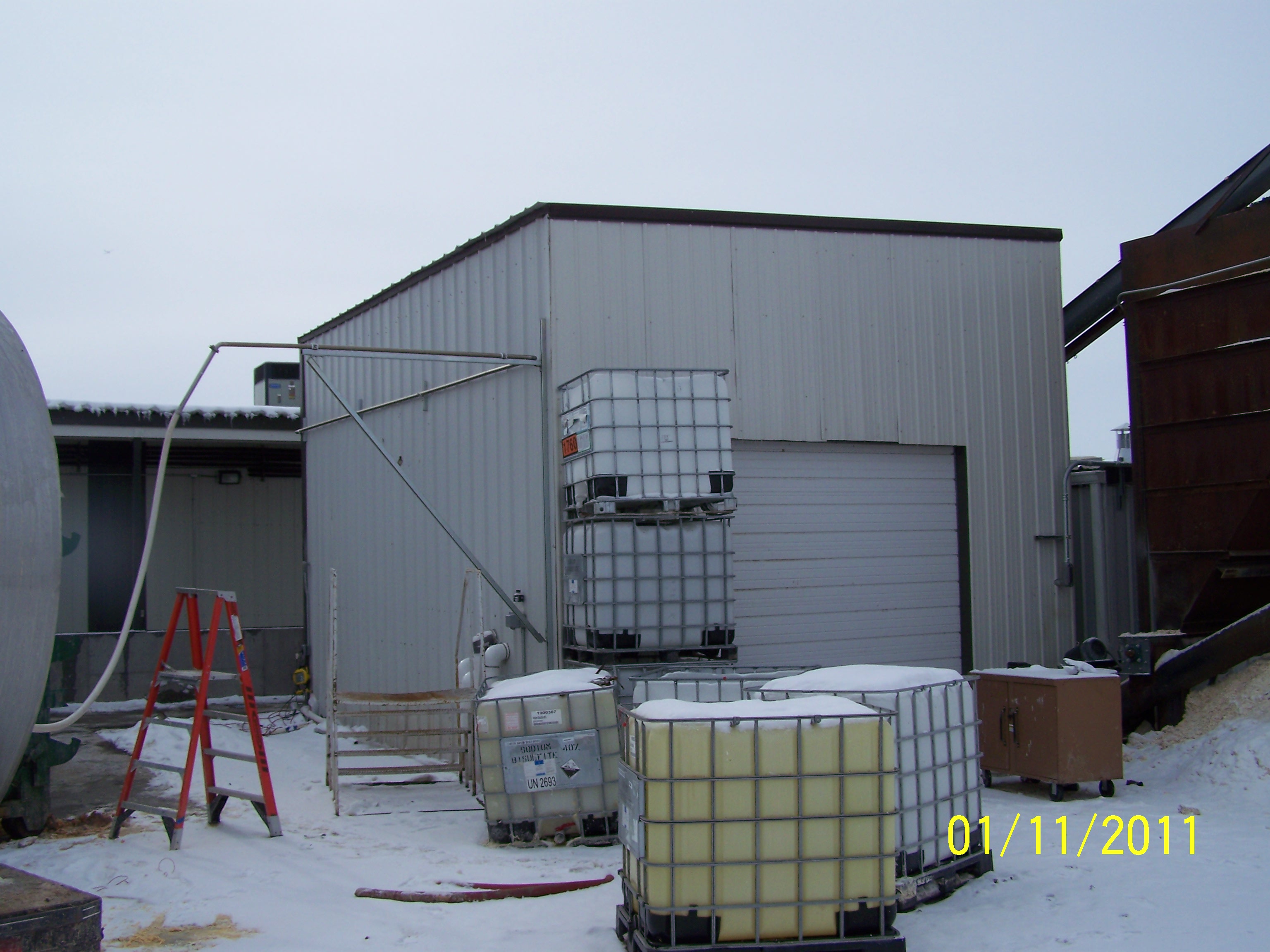
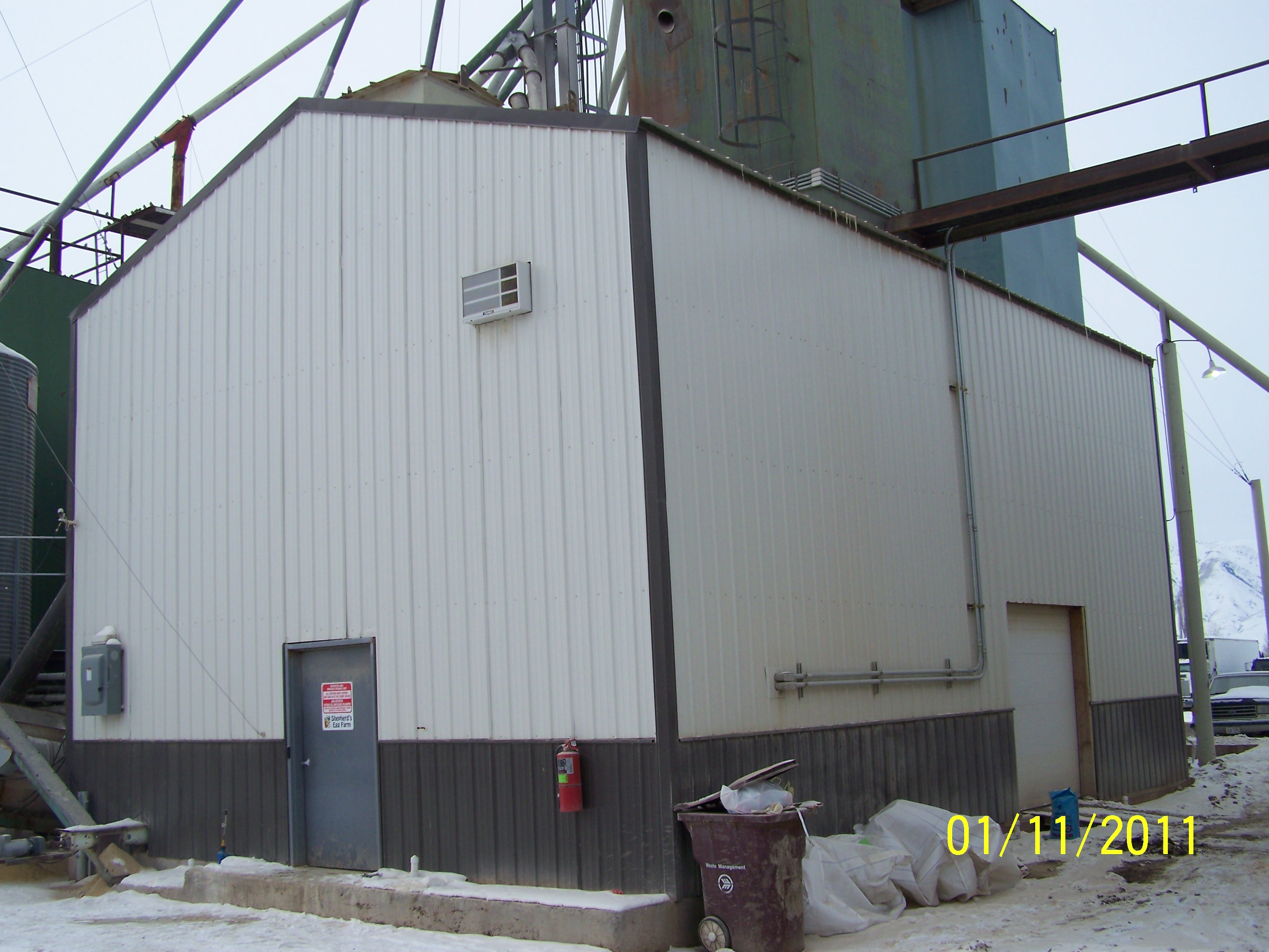
- Photos
- Documents
- Aerial Image
- Addrs
| |
----- Real Estate Values ----- |
---Improvements--- |
---Greenbelt--- |
Total |
| Year |
Com |
Res |
Agr |
Tot |
Com |
Res |
Agr |
Tot |
Land |
Homesite |
Tot |
Market Value |
| 2016 |
$0 |
$19,600 |
$185,800 |
$205,400 |
$0 |
$126,700 |
$1,767,200 |
$1,893,900 |
$4,471 |
$28,000 |
$32,471 |
$2,099,300 |
| 2015 |
$0 |
$19,200 |
$182,100 |
$201,300 |
$0 |
$125,900 |
$1,084,300 |
$1,210,200 |
$4,443 |
$28,000 |
$32,443 |
$1,411,500 |
| 2014 |
$0 |
$18,800 |
$178,400 |
$197,200 |
$0 |
$125,900 |
$1,084,300 |
$1,210,200 |
$4,599 |
$28,000 |
$32,599 |
$1,407,400 |
| 2013 |
$0 |
$16,800 |
$158,900 |
$175,700 |
$0 |
$141,500 |
$999,300 |
$1,140,800 |
$4,875 |
$28,000 |
$32,875 |
$1,316,500 |
| Year |
General Taxes |
Adjustments |
Net Taxes |
Fees |
Payments |
Tax Balance* |
Balance Due |
Tax District |
| 2016 |
$24,631.73 |
$0.00 |
$24,631.73 |
$0.00 |
|
$0.00
|
$0.00 |
120 - NEBO SCHOOL DIST S/A 6-7-8 |
| 2015 |
$15,697.58 |
$0.00 |
$15,697.58 |
$0.00 |
|
$0.00
|
$0.00 |
120 - NEBO SCHOOL DIST S/A 6-7-8 |
| 2014 |
$15,691.46 |
$0.00 |
$15,691.46 |
$0.00 |
|
$0.00
|
$0.00 |
120 - NEBO SCHOOL DIST S/A 6-7-8 |
| 2013 |
$15,263.74 |
$0.00 |
$15,263.74 |
$0.00 |
|
$0.00
|
$0.00 |
120 - NEBO SCHOOL DIST S/A 6-7-8 |
* Note: Original tax amount (Does not include applicable interest and/or fees).
| Entry # |
Date |
Recorded |
Type |
Party1 (Grantor) |
Party2 (Grantee) |
| 113598-2016 |
11/08/2016 |
11/10/2016 |
QCD |
SHEPHERD, ALLEN L & RUTH W (ET AL) |
SHEPHERD, ALLEN L & RUTH W |
| 3187-2015 |
12/04/2014 |
01/14/2015 |
QCD |
UNITED STATES OF AMERICA |
SOUTH UTAH VALLEY ELECTRIC SERVICE DISTRICT |
| 51317-2014 |
07/10/2014 |
07/25/2014 |
W REC |
WESTERN AG CREDIT TEE |
SHEPHERD, CHRIS BUD & KAREN N TEE (ET AL) |
| 51316-2014 |
07/23/2014 |
07/25/2014 |
A FN ST |
SHEPHERD, CHRIS BUD & KAREN N TEE (ET AL) |
WESTERN AGCREDIT |
| 51315-2014 |
07/23/2014 |
07/25/2014 |
W D TR |
SHEPHERD, CHRIS BUD & KAREN N TEE (ET AL) |
WESTERN AG CREDIT |
| 51314-2014 |
07/23/2014 |
07/25/2014 |
C QCD |
SHEPHERD, CHRIS B & KAREN N TEE (ET AL) |
SHEPHERD, CHRIS BUD & KAREN N TEE |
| 53731-2013 |
|
06/03/2013 |
C FN ST |
WHOM OF INTEREST |
WESTERN AG CREDIT |
| 73480-2012 |
08/27/2012 |
08/29/2012 |
QCD |
SHEPHERD, CHRIS B & KAREN N TEE (ET AL) |
SHEPHERD, ALLEN L & RUTH W |
| 49778-2012 |
06/14/2012 |
06/15/2012 |
QCD |
SHEPHERD, CHRIS B & KAREN N TEE (ET AL) |
SHEPHERD, ALLLEN (SIC) L & RUTH W |
3452 W 6400 SOUTH - SPANISH FORK DISTR
3502 W 6400 SOUTH - SPANISH FORK DISTR
Main Menu Comments or Concerns on Value/Appraisal - Assessor's Office
Documents/Owner/Parcel information - Recorder's Office
Address Change for Tax Notice
This page was created on 5/23/2024 1:37:21 AM |

