UtahCounty.Gov - The Official Website of Utah County Government

Property Information

mobile view

Serial Number: 02:023:0035 Serial Life: 1988...    
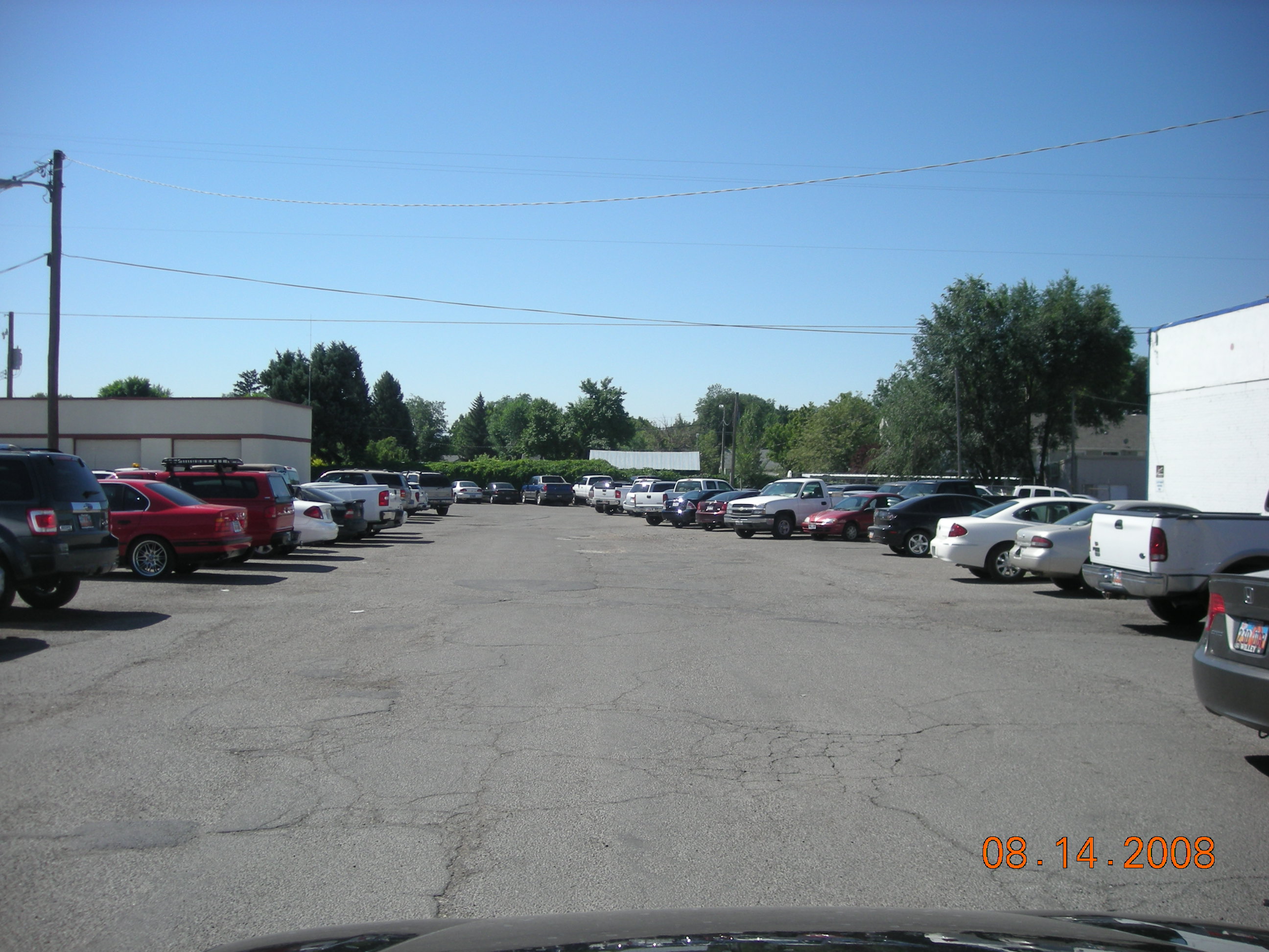
Parcel Photo
Total Photos: 1
     
Property Address:  AMERICAN FORK  
Mailing Address: 31 N CHURCH AMERICAN FORK, UT 84003  
Acreage: 0.13  
Last Document: 2197-1920  
Subdivision Map Filing   
Taxing Description:  PT LOT 8, BLK 10, PLAT A, AMERICAN FORK CITY SURVEY. AREA .13 ACRES.

*Taxing description NOT FOR LEGAL DOCUMENTS


  • Owner Names
  • Value History
  • Tax History
  • Location
  • Photos
  • Documents
  • Aerial Image
  
1989...   AMERICAN FORK CITY
1989NV   AMERICAN FORK CITY
1988   UTAH COUNTY
 
----- Real Estate Values -----
---Improvements---
---Greenbelt---
Total
Year
Com
Res
Agr
Tot
Com
Res
Agr
Tot
Land
Homesite
Tot
    Market Value
Year
General Taxes
Adjustments
Net Taxes
Fees
Payments
Tax Balance*
Balance Due
Tax District

* Note: Original tax amount (Does not include applicable interest and/or fees).
Parcel Photo
Entry # Date Recorded Type Party1 (Grantor) Party2 (Grantee)
114949-2008 10/20/2008 10/22/2008 CT STATE OF UTAH WHOM OF INTEREST
107508-2008 09/30/2008 09/30/2008 RESOL BOARD OF COUNTY COMMISSIONERS UTAH COUNTY WHOM OF INTEREST
6087-1997 01/14/1997 01/27/1997 REC BLACKBURN, TIMOTHY W TEE OSTERGAARD, LYNN R
76846-1995 11/06/1995 11/08/1995 RESOL UTAH COUNTY COMMISSIONERS WHOM OF INTEREST
72685-1995 10/24/1995 10/25/1995 RC AMERICA FIRST CREDIT UNION WHOM OF INTEREST
32492-1988 10/24/1988 10/26/1988 QCD UTAH COUNTY CLERK AMERICAN FORK CITY
25355-1984 07/10/1984 08/24/1984 C PLAT DALTON, ORAL T (ET AL) COLONIAL PINES CONDO
23065-1984 08/01/1984 08/03/1984 WD H & L INVESTMENT CO BY (ET AL) DALTON, ORAL T
2197-1920 03/15/1920 03/17/1920 ATD UTAH COUNTY UTAH COUNTY


Main Menu

Comments or Concerns on Value/Appraisal - Assessor's Office
Documents/Owner/Parcel information - Recorder's Office
Address Change for Tax Notice

This page was created on 5/8/2024 10:48:08 PM