Property Information
mobile view
| Serial Number: 18:066:0137 |
Serial Life: 2000-2007 |
|
|
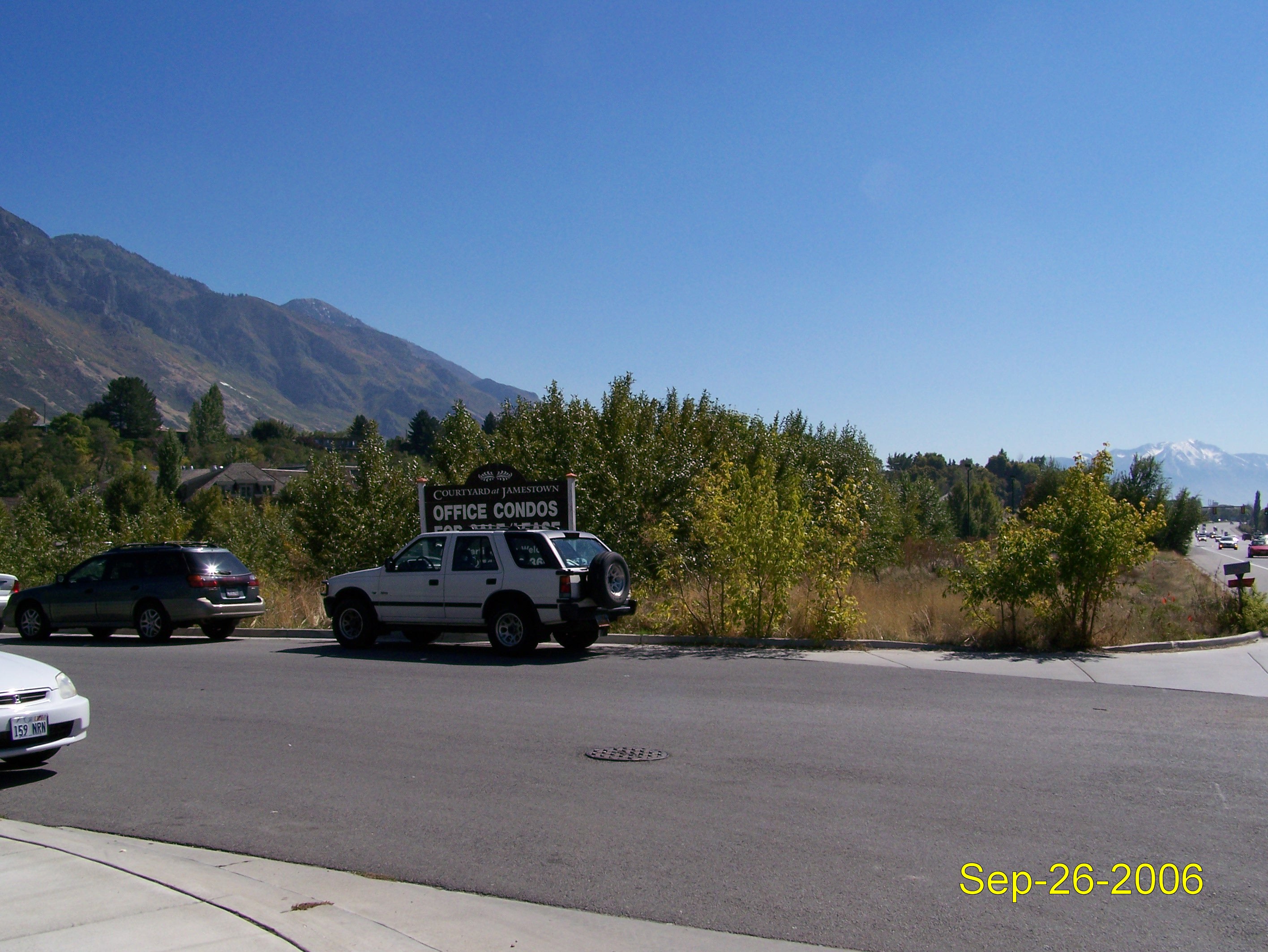
Total Photos: 1
|
| |
|
|
| Property Address: |
|
| Mailing Address: 3575 N 100 E STE 175 PROVO, UT 84604-6652 |
|
| Acreage: 0.542957 |
|
| Last Document:
128620-2007
|
|
| Subdivision Map Filing |
|
| Taxing Description:
COM N 1353.21 FT & W 14.49 FT FR SE COR. SEC. 24, T6S, R2E, SLB&M.; S 89 DEG 23' 12" W 115.55 FT; N 6 DEG 42' 48" W 142.5 FT; N 89 DEG 23' 12" E 130.69 FT; N 0 DEG 36' 29" W 31.91 FT; N 89 DEG 23' 12" E 38.38 FT; S 1 DEG 8' 12" W 173.78 FT; S 89 DEG 23' 12" W 33.06 FT TO BEG. AREA 0.543 AC.
*Taxing description NOT FOR LEGAL DOCUMENTS
|
|
- Owner Names
- Value History
- Tax History
- Location
- Photos
- Documents
- Aerial Image
| |
----- Real Estate Values ----- |
---Improvements--- |
---Greenbelt--- |
Total |
| Year |
Com |
Res |
Agr |
Tot |
Com |
Res |
Agr |
Tot |
Land |
Homesite |
Tot |
Market Value |
| 2007 |
$99,700 |
$0 |
$0 |
$99,700 |
$0 |
$0 |
$0 |
$0 |
$0 |
$0 |
$0 |
$99,700 |
| 2006 |
$83,091 |
$0 |
$0 |
$83,091 |
$0 |
$0 |
$0 |
$0 |
$0 |
$0 |
$0 |
$83,091 |
| 2005 |
$83,091 |
$0 |
$0 |
$83,091 |
$0 |
$0 |
$0 |
$0 |
$0 |
$0 |
$0 |
$83,091 |
| 2004 |
$83,091 |
$0 |
$0 |
$83,091 |
$0 |
$0 |
$0 |
$0 |
$0 |
$0 |
$0 |
$83,091 |
| 2003 |
$83,091 |
$0 |
$0 |
$83,091 |
$0 |
$0 |
$0 |
$0 |
$0 |
$0 |
$0 |
$83,091 |
| 2002 |
$83,091 |
$0 |
$0 |
$83,091 |
$0 |
$0 |
$0 |
$0 |
$0 |
$0 |
$0 |
$83,091 |
| 2001 |
$71,262 |
$0 |
$0 |
$71,262 |
$0 |
$0 |
$0 |
$0 |
$0 |
$0 |
$0 |
$71,262 |
| 2000 |
$66,600 |
$0 |
$0 |
$66,600 |
$0 |
$0 |
$0 |
$0 |
$0 |
$0 |
$0 |
$66,600 |
| Year |
General Taxes |
Adjustments |
Net Taxes |
Fees |
Payments |
Tax Balance* |
Balance Due |
Tax District |
| 2007 |
$875.07 |
$0.00 |
$875.07 |
$0.00 |
|
$0.00
|
$0.00 |
110 - PROVO CITY |
| 2006 |
$871.46 |
$0.00 |
$871.46 |
$0.00 |
|
$0.00
|
$0.00 |
110 - PROVO CITY |
| 2005 |
$897.88 |
$0.00 |
$897.88 |
$0.00 |
|
$0.00
|
$0.00 |
110 - PROVO CITY |
| 2004 |
$904.45 |
$0.00 |
$904.45 |
$0.00 |
|
$0.00
|
$0.00 |
110 - PROVO CITY |
| 2003 |
$882.09 |
$0.00 |
$882.09 |
$0.00 |
|
$0.00
|
$0.00 |
110 - PROVO CITY |
| 2002 |
$877.77 |
$0.00 |
$877.77 |
$0.00 |
|
$0.00
|
$0.00 |
110 - PROVO CITY |
| 2001 |
$743.12 |
$0.00 |
$743.12 |
$0.00 |
|
$0.00
|
$0.00 |
110 - PROVO CITY |
| 2000 |
$701.83 |
$0.00 |
$701.83 |
$0.00 |
|
$0.00
|
$0.00 |
110 - PROVO CITY |
* Note: Original tax amount (Does not include applicable interest and/or fees).
| Entry # |
Date |
Recorded |
Type |
Party1 (Grantor) |
Party2 (Grantee) |
| 128620-2007 |
08/30/2007 |
08/30/2007 |
SP WD |
COURTYARD AT JAMESTOWN ASSOCIATES LC |
NIELSON, DOUGLAS A |
| 128619-2007 |
08/30/2007 |
08/30/2007 |
AF |
JESPERSON, DIANA MARIE |
WHOM OF INTEREST |
| 92771-2005 |
08/22/2005 |
08/23/2005 |
REC |
CENTURY TITLE COMPANY |
COURTYARD AT JAMESTOWN ASSOCITES LC |
| 92770-2005 |
08/17/2005 |
08/23/2005 |
SUB TEE |
NEIBAUR, DALE TEE |
CENTURY TITLE COMPANY SUC TE |
| 53096-2000 |
06/27/2000 |
07/07/2000 |
REC |
CENTURY TITLE TEE |
NIELSON, DOUGLAS A (ET AL) |
| 53095-2000 |
06/27/2000 |
07/07/2000 |
SUB TEE |
CENTRAL BANK |
CENTURY TITLE SUCTEE |
| 20031-1999 |
02/04/1999 |
02/19/1999 |
C PLAT |
COURTYARD OFFICE GROUP LC (ET AL) |
COURTYARD AT JAMESTOWN CONDO III |
Main Menu Comments or Concerns on Value/Appraisal - Assessor's Office
Documents/Owner/Parcel information - Recorder's Office
Address Change for Tax Notice
This page was created on 5/16/2024 2:52:20 PM |