Property Information
mobile view
| Serial Number: 11:038:0090 |
Serial Life: 2004... |
|
|
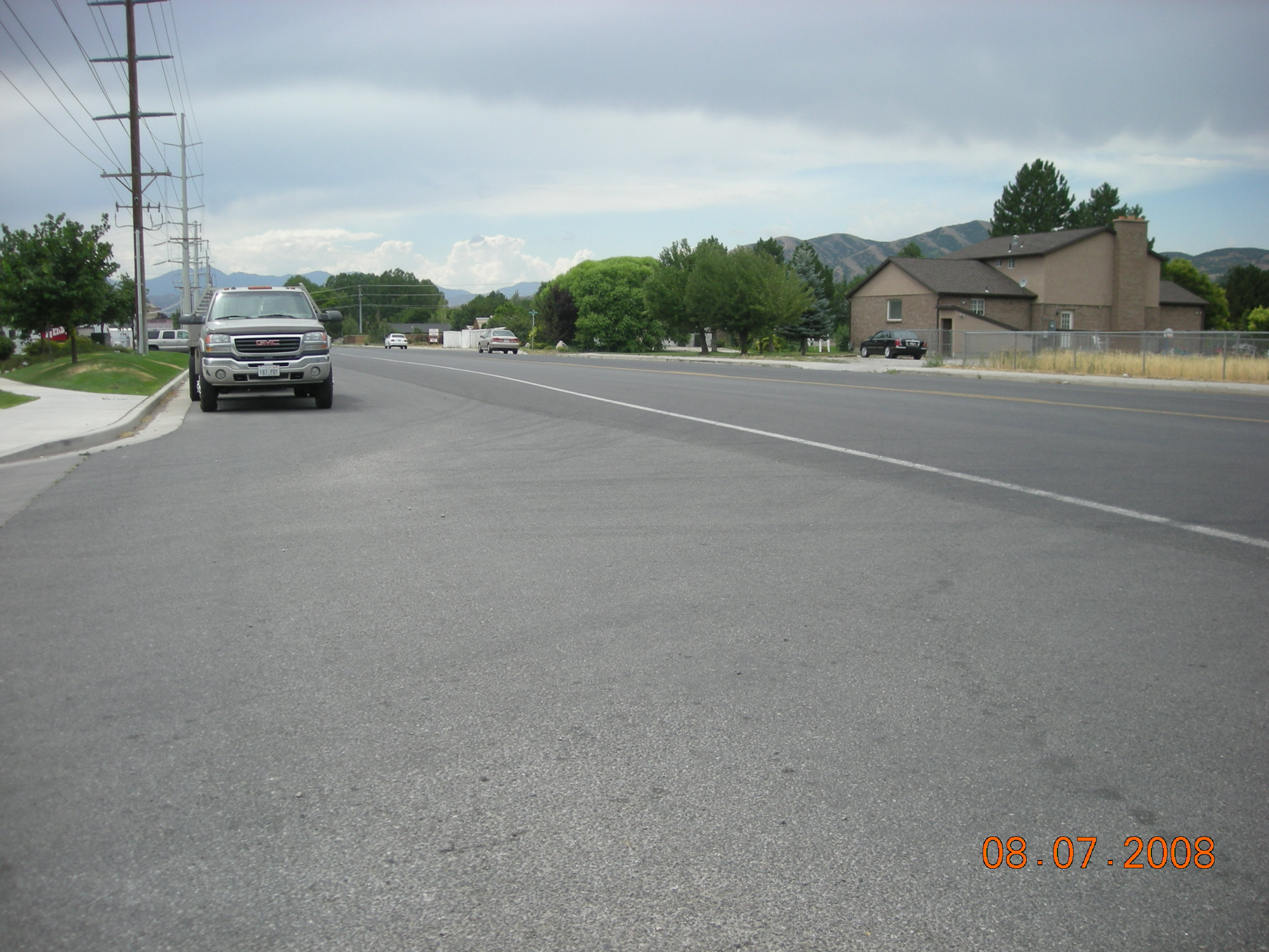
Total Photos: 1
|
| |
|
|
| Property Address: |
|
| Mailing Address: 100 E CENTER ST PROVO, UT 84606-3106 |
|
| Acreage: 0.67587 |
|
| Last Document:
134532-2003
|
|
| Subdivision Map Filing |
|
| Taxing Description:
COM S 78.35 FT & E 1876.85 FT FR W 1/4 COR. SEC. 36, T4S, R1E, SLB&M.; E 60.55 FT; S 4 DEG 45' 0" W 483.1 FT; S 81 DEG 0' 0" W 51.22 FT; N 4 DEG 27' 0" E 16.23 FT; S 86 DEG 57' 0" W 11.34 FT; N 4 DEG 50' 26" E 1.19 FT; N 4 DEG 47' 44" E 103.19 FT; S 89 DEG 59' 59" E .08 FT; N 4 DEG 50' 26" E 339.95 FT; N 89 DEG 57' 56" E .05 FT; N 4 DEG 42' 3" E 31.23 FT TO BEG. AREA 0.676 AC.
*Taxing description NOT FOR LEGAL DOCUMENTS
|
|
- Owner Names
- Value History
- Tax History
- Location
- Photos
- Documents
- Aerial Image
| |
----- Real Estate Values ----- |
---Improvements--- |
---Greenbelt--- |
Total |
| Year |
Com |
Res |
Agr |
Tot |
Com |
Res |
Agr |
Tot |
Land |
Homesite |
Tot |
Market Value |
| 2012 |
$15,582 |
$0 |
$0 |
$15,582 |
$0 |
$0 |
$0 |
$0 |
$0 |
$0 |
$0 |
$15,582 |
| 2011 |
$15,582 |
$0 |
$0 |
$15,582 |
$0 |
$0 |
$0 |
$0 |
$0 |
$0 |
$0 |
$15,582 |
| 2010 |
$15,582 |
$0 |
$0 |
$15,582 |
$0 |
$0 |
$0 |
$0 |
$0 |
$0 |
$0 |
$15,582 |
| 2009 |
$15,900 |
$0 |
$0 |
$15,900 |
$0 |
$0 |
$0 |
$0 |
$0 |
$0 |
$0 |
$15,900 |
| 2008 |
$0 |
$51,000 |
$0 |
$51,000 |
$0 |
$0 |
$0 |
$0 |
$0 |
$0 |
$0 |
$51,000 |
| 2007 |
$0 |
$51,000 |
$0 |
$51,000 |
$0 |
$0 |
$0 |
$0 |
$0 |
$0 |
$0 |
$51,000 |
| 2006 |
$0 |
$51,000 |
$0 |
$51,000 |
$0 |
$0 |
$0 |
$0 |
$0 |
$0 |
$0 |
$51,000 |
| 2005 |
$0 |
$0 |
$500 |
$500 |
$0 |
$0 |
$0 |
$0 |
$0 |
$0 |
$0 |
$500 |
| 2004 |
$0 |
$0 |
$500 |
$500 |
$0 |
$0 |
$0 |
$0 |
$0 |
$0 |
$0 |
$500 |
| Year |
General Taxes |
Adjustments |
Net Taxes |
Fees |
Payments |
Tax Balance* |
Balance Due |
Tax District |
| 2011 |
$196.68 |
($196.68) |
$0.00 |
$0.00 |
|
$0.00
|
$0.00 |
045 - HIGHLAND CITY |
| 2010 |
$185.57 |
($185.57) |
$0.00 |
$0.00 |
|
$0.00
|
$0.00 |
045 - HIGHLAND CITY |
| 2009 |
$174.45 |
($174.45) |
$0.00 |
$0.00 |
|
$0.00
|
$0.00 |
045 - HIGHLAND CITY |
| 2008 |
$511.79 |
($511.79) |
$0.00 |
$0.00 |
|
$0.00
|
$0.00 |
045 - HIGHLAND CITY |
| 2007 |
$493.73 |
($493.73) |
$0.00 |
$0.00 |
|
$0.00
|
$0.00 |
045 - HIGHLAND CITY |
| 2006 |
$505.92 |
($505.92) |
$0.00 |
$0.00 |
|
$0.00
|
$0.00 |
045 - HIGHLAND CITY |
| 2005 |
$5.68 |
$0.00 |
$5.68 |
$0.00 |
|
$0.00
|
$0.00 |
045 - HIGHLAND CITY |
| 2004 |
$5.69 |
$0.00 |
$5.69 |
$0.00 |
|
$0.00
|
$0.00 |
045 - HIGHLAND CITY |
* Note: Original tax amount (Does not include applicable interest and/or fees).
| Entry # |
Date |
Recorded |
Type |
Party1 (Grantor) |
Party2 (Grantee) |
| 58369-2011 |
05/19/2011 |
08/18/2011 |
ATD |
SMOKEY CREEK LLC |
UTAH COUNTY |
| 114949-2008 |
10/20/2008 |
10/22/2008 |
CT |
STATE OF UTAH |
WHOM OF INTEREST |
| 107508-2008 |
09/30/2008 |
09/30/2008 |
RESOL |
BOARD OF COUNTY COMMISSIONERS UTAH COUNTY |
WHOM OF INTEREST |
| 30950-2005 |
03/22/2005 |
03/25/2005 |
REC |
BANK OF AMERICAN FORK TEE |
SMOKEY CREEK LLC |
| 137326-2004 |
11/23/2004 |
12/08/2004 |
W FARM |
UTAH COUNTY ASSESSOR |
PISMO BEACH INVESTMENT CO |
| 11925-2004 |
02/02/2004 |
02/03/2004 |
REC |
CENTRAL BANK TEE |
SMOKEY CREEK LLC |
| 176225-2003 |
10/27/2003 |
11/04/2003 |
REC |
BANK OF AMERICAN FORK TEE |
SMOKEY CREEK LLC |
| 142784-2003 |
08/21/2003 |
08/29/2003 |
REC |
BANK OF AMERICAN FORK TEE |
SMOKEY CREEK LLC |
| 134532-2003 |
04/01/2003 |
08/20/2003 |
S PLAT |
SMOKEY CREEK LLC |
HIGHLAND TOWNE CENTER BUSINESS PARK |
Main Menu Comments or Concerns on Value/Appraisal - Assessor's Office
Documents/Owner/Parcel information - Recorder's Office
Address Change for Tax Notice
This page was created on 5/18/2024 6:14:23 AM |