Property Information
| Serial Number: 42:022:0016 |
Serial Life: 2023NV |
|
|
 Total Photos: 1
|
| |
|
|
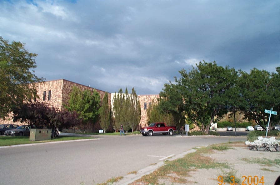
| Property Address: 748 N 1340 WEST - OREM |
|
| Mailing Address: %FAIRBOURN, LEE 4315 S 2700 W TAYLORSVILLE, UT 84129 |
|
| Acreage: 1.316122 |
|
| Last Document:
13939-2022
|
|
| Subdivision Map Filing |
|
| Taxing Description:
LOTS 4 & 5, PLAT A, 15 - 52 INDUSTRIAL PARK SUB DESCRIBED AS FOLLOWS:; COM N 89 DEG 47' 7" E 1639.244 FT & S 0 DEG 28' 22" E 94.39 FT FR W COR. SEC. 9, T6S, R2E, SLB&M.; N 89 DEG 27' 56" E 202.37 FT; S 11 DEG 41' 35" E 301.51 FT; N 89 DEG 36' 41" W 183.32 FT; N 0 DEG 41' 57" W 78.59 FT; ALONG A CURVE TO L (CHORD BEARS: N 45 DEG 9' 19" W 105.05 FT, RADIUS = 75 FT); N 89 DEG 36' 41" W 3.56 FT; N 0 DEG 28' 22" W 139.43 FT TO BEG. AREA 1.316 AC.
*Taxing description NOT FOR LEGAL DOCUMENTS
|
|
- Owner Names
- Value History
- Tax History
- Location
- Photos
- Documents
- Aerial Image
Main Menu Comments or Concerns on Value/Appraisal - Assessor's Office
Documents/Owner/Parcel information - Recorder's Office
Address Change for Tax Notice
This page was created on 12/8/2025 12:18:52 AM |