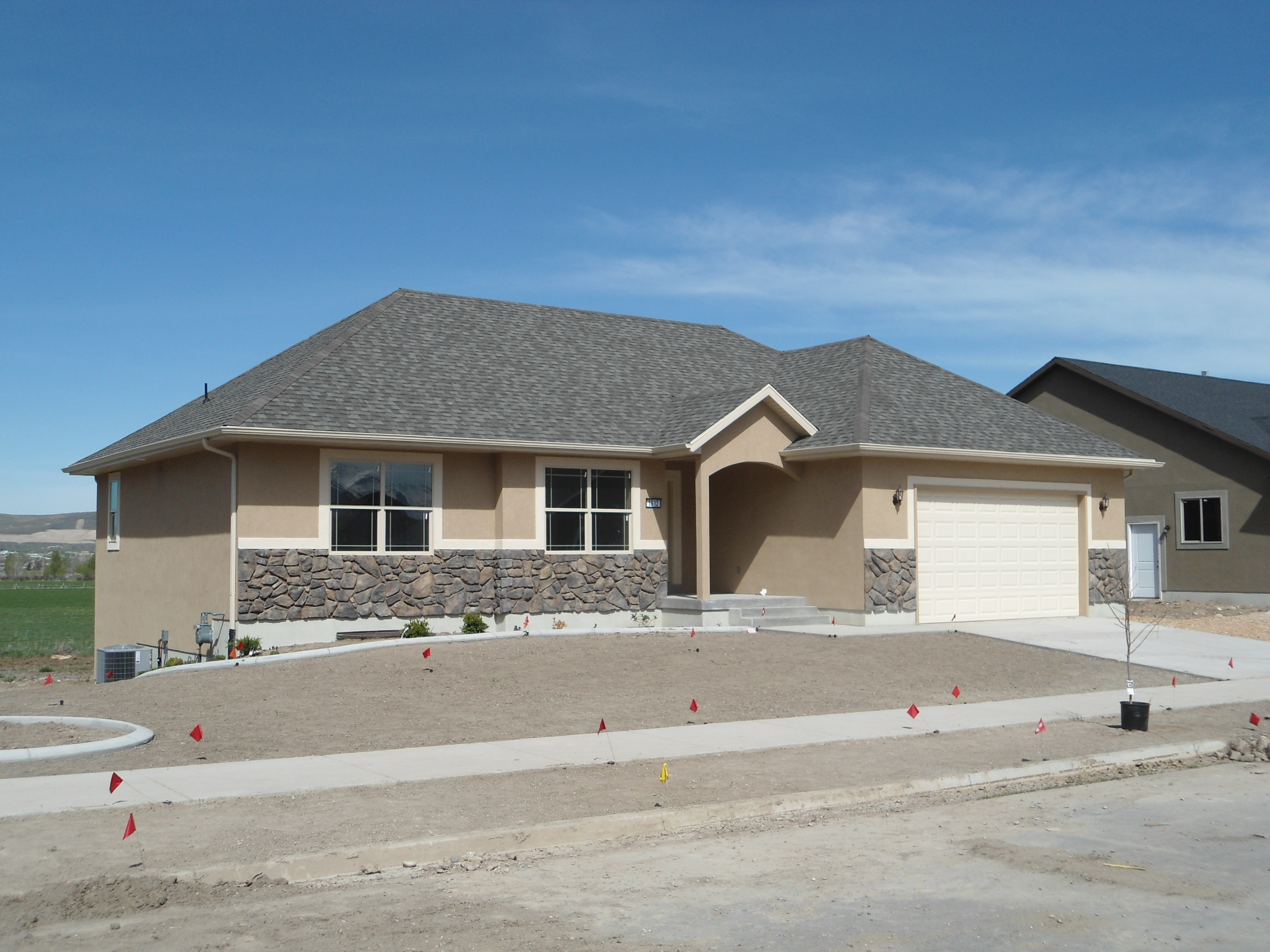
Property Valuation Information

  • Serial Number : 466430337
  • Tax Year : 2025
  • Owner Names : STROM, KAMILLE & CARSTEN
  • Property Address : 1612 S 1030 WEST - PAYSON
  • Tax Area : 170 - PAYSON CITY
  • Acreage : 0.277
  • Property Classification :  RP - RES PRIMARY

  • Legal Description : LOT 337, PLAT E, THE MAPLES AT BROOKSIDE PRD SUBDV. AREA 0.277 AC.

Property Types:
2024 Market Value
   
2025 Market Value
  Primary Residential
$447,800
   
$489,500
               
Total Property Market Value $447,800     $489,500    


Current and Proposed Taxes


Taxing Entity
 
Tax Last Year
 
Tax This Year
with No Change
 
Tax This Year based on proposed budget
ASSESSING & COLLECTING - COUNTY  
$26.85
 
$27.19
 
$30.15
ASSESSING & COLLECTING - STATE  
$3.69
 
$3.77
 
$3.77
UTAH COUNTY  
$160.58
 
$163.96
 
$240.42
CENTRAL UTAH WATER CONS DIST  
$98.52
 
$102.31
 
$107.69
STATEWIDE SCHOOL BASIC LEVY  
$346.78
 
$371.26
 
$371.26
NEBO SCHOOL DISTRICT BOND  
$591.10
 
$646.14
 
$646.14
NEBO SCHOOL DISTRICT LEVY  
$879.01
 
$911.33
 
$911.33
STATE CHARTER SCHOOL-NEBO  
$19.70
 
$16.96
 
$16.96
PAYSON CITY  
$293.82
 
$295.61
 
$349.72
Total Tax   $2,420.05   $2,538.52
  $2,677.44