Property Valuation Information

  • Serial Number : 465510069
  • Tax Year : 2025
  • Owner Names : TOLMAN, JUDY H (ET AL)
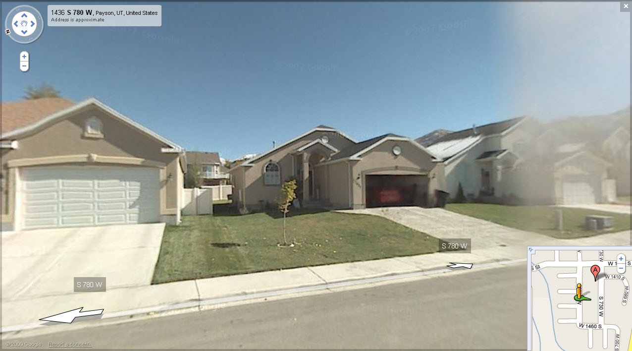
  • Property Address : 1437 S 780 WEST - PAYSON
  • Tax Area : 170 - PAYSON CITY
  • Acreage : 0.128
  • Property Classification :  RP - RES PRIMARY

  • Legal Description : LOT 69, PLAT B, MAPLES AT BROOKSIDE PRD. AREA 0.128 AC.

Property Types:
2024 Market Value
   
2025 Market Value
  Primary Residential
$453,400
   
$482,400
               
Total Property Market Value $453,400     $482,400    


Current and Proposed Taxes


Taxing Entity
 
Tax Last Year
 
Tax This Year
with No Change
 
Tax This Year based on proposed budget
ASSESSING & COLLECTING - COUNTY  
$27.18
 
$26.80
 
$29.72
ASSESSING & COLLECTING - STATE  
$3.74
 
$3.71
 
$3.71
UTAH COUNTY  
$162.59
 
$161.58
 
$236.93
CENTRAL UTAH WATER CONS DIST  
$99.75
 
$100.82
 
$106.13
STATEWIDE SCHOOL BASIC LEVY  
$351.11
 
$365.88
 
$365.88
NEBO SCHOOL DISTRICT BOND  
$598.49
 
$636.77
 
$636.77
NEBO SCHOOL DISTRICT LEVY  
$890.00
 
$898.11
 
$898.11
STATE CHARTER SCHOOL-NEBO  
$19.95
 
$16.72
 
$16.72
PAYSON CITY  
$297.50
 
$291.32
 
$344.65
Total Tax   $2,450.31   $2,501.70
  $2,638.61