UtahCounty.Gov - The Official Website of Utah County Government

Property Information

mobile view

Serial Number: 46:708:0014 Serial Life: 2009-2019    
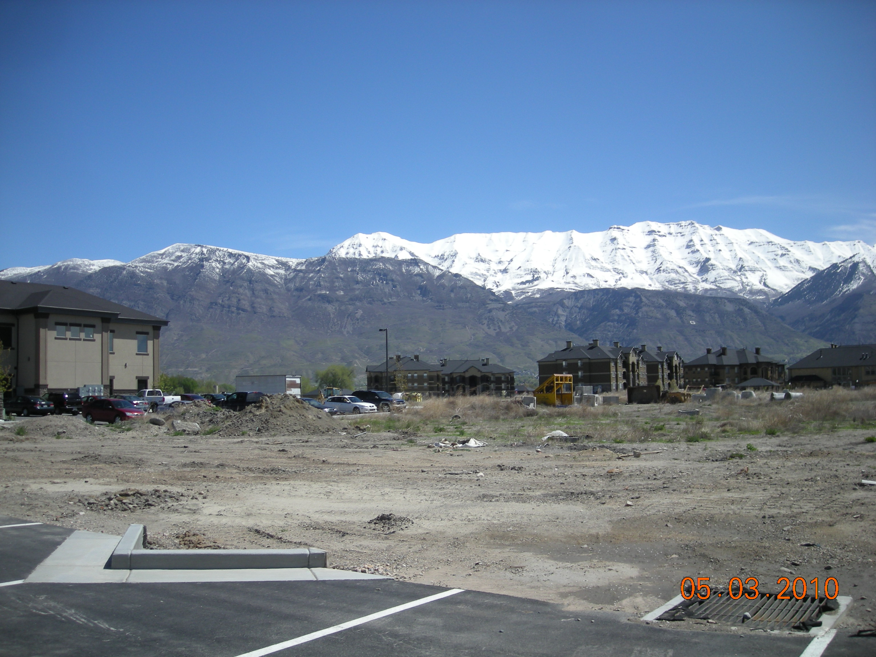
Parcel Photo
Total Photos: 3
     
Property Address:  PLEASANT GROVE  
Mailing Address: 2516 ORCHARD DR BOUNTIFUL, UT 84010-6436  
Acreage: 0.000142  
Last Document: 116419-2008  
Subdivision Map Filing   
Taxing Description:  PART LOT 2, PLAT A, MAYFIELD SUB DESCRIBED AS FOLLOWS:; COM N 586.97 FT & W 101.26 FT FR W 1/4 COR. SEC. 30, T5S, R2E, SLB&M.; S 89 DEG 5' 17" W 1.65 FT; S 0 DEG 54' 43" E 7.49 FT; N 11 DEG 31' 12" E 7.67 FT TO BEG. AREA 0.000 AC.

*Taxing description NOT FOR LEGAL DOCUMENTS


  • Owner Names
  • Value History
  • Tax History
  • Location
  • Photos
  • Documents
  • Aerial Image
 
----- Real Estate Values -----
---Improvements---
---Greenbelt---
Total
Year
Com
Res
Agr
Tot
Com
Res
Agr
Tot
Land
Homesite
Tot
    Market Value
2019
$0
$0
$0
$0
$0
$0
$0
$0
$0
$0
$0
$0
2018
$0
$0
$0
$0
$0
$0
$0
$0
$0
$0
$0
$0
2017
$0
$0
$0
$0
$0
$0
$0
$0
$0
$0
$0
$0
2016
$0
$0
$0
$0
$0
$0
$0
$0
$0
$0
$0
$0
2015
$0
$0
$0
$0
$0
$0
$0
$0
$0
$0
$0
$0
2014
$0
$0
$0
$0
$0
$0
$0
$0
$0
$0
$0
$0
2013
$500
$0
$0
$500
$0
$0
$0
$0
$0
$0
$0
$500
2012
$500
$0
$0
$500
$0
$0
$0
$0
$0
$0
$0
$500
2011
$500
$0
$0
$500
$0
$0
$0
$0
$0
$0
$0
$500
2010
$500
$0
$0
$500
$0
$0
$0
$0
$0
$0
$0
$500
2009
$2,440
$0
$0
$2,440
$0
$0
$0
$0
$0
$0
$0
$2,440
Year
General Taxes
Adjustments
Net Taxes
Fees
Payments
Tax Balance*
Balance Due
Tax District
2019
$0.00
$0.00
$0.00
$0.00
$0.00
$0.00     070 - PLEASANT GROVE CITY
2018
$5.12
($5.12)
$0.00
$0.00
$0.00
$0.00     070 - PLEASANT GROVE CITY
2017
$5.29
($5.29)
$0.00
$0.00
$0.00
$0.00     070 - PLEASANT GROVE CITY
2016
$1.10
($1.10)
$0.00
$0.00
$0.00
$0.00     070 - PLEASANT GROVE CITY
2015
$5.79
($5.79)
$0.00
$0.00
$0.00
$0.00     070 - PLEASANT GROVE CITY
2014
$5.84
($5.84)
$0.00
$0.00
$0.00
$0.00     070 - PLEASANT GROVE CITY
2013
$6.33
$0.00
$6.33
$0.00
$0.00
$0.00     070 - PLEASANT GROVE CITY
2012
$6.48
$0.00
$6.48
$0.00
$0.00
$0.00     070 - PLEASANT GROVE CITY
2011
$6.44
$0.00
$6.44
$0.00
$0.00
$0.00     070 - PLEASANT GROVE CITY
2010
$6.02
$0.00
$6.02
$0.00
$0.00
$0.00     070 - PLEASANT GROVE CITY
2009
$27.11
$0.00
$27.11
$0.00
$0.00
$0.00     070 - PLEASANT GROVE CITY

* Note: Original tax amount (Does not include applicable interest and/or fees).
Parcel Photo
Parcel Photo
Parcel Photo
Entry # Date Recorded Type Party1 (Grantor) Party2 (Grantee)
89362-2009 08/12/2009 08/14/2009 REC AFFILIATED FIRST TITLE INSURANCE AGENCY INC TEE TROPHY HOMES-AMERICAN FORK LC
88932-2009 08/12/2009 08/13/2009 QCD AMBER LAND HOLDINGS LC KINGS DOMINION INVESTMENTS LLC
116419-2008 10/13/2008 10/28/2008 QCD SOUTHARD, JEFFREY D (ET AL) AMBER LAND HOLDINGS LC


Main Menu

Comments or Concerns on Value/Appraisal - Assessor's Office
Documents/Owner/Parcel information - Recorder's Office
Address Change for Tax Notice

This page was created on 5/16/2024 2:00:33 PM