Property Information
mobile view
| Serial Number: 36:112:0019 |
Serial Life: 2017... |
|
|
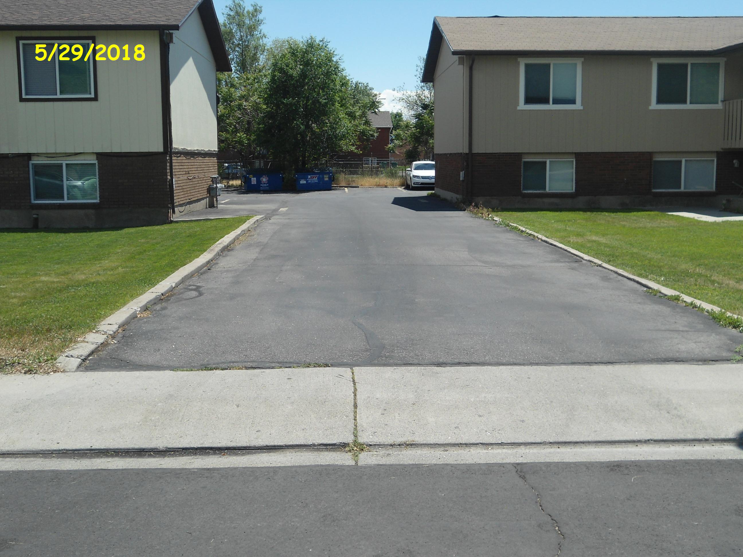
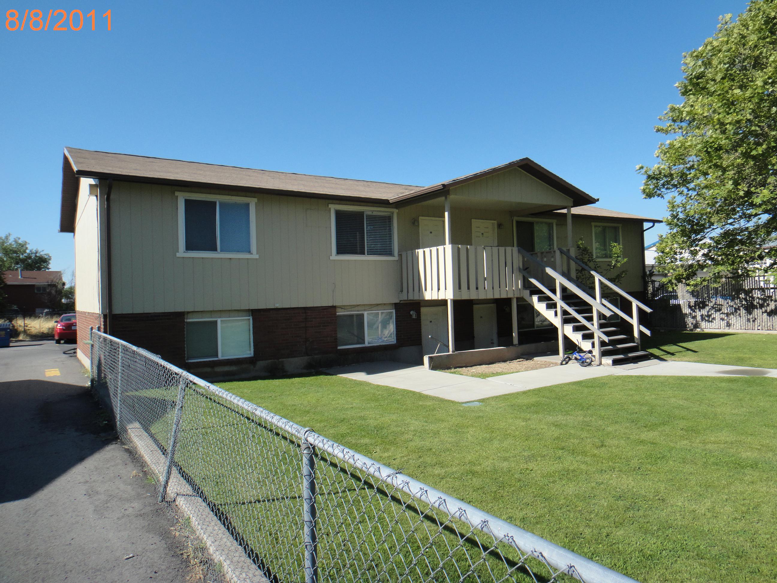
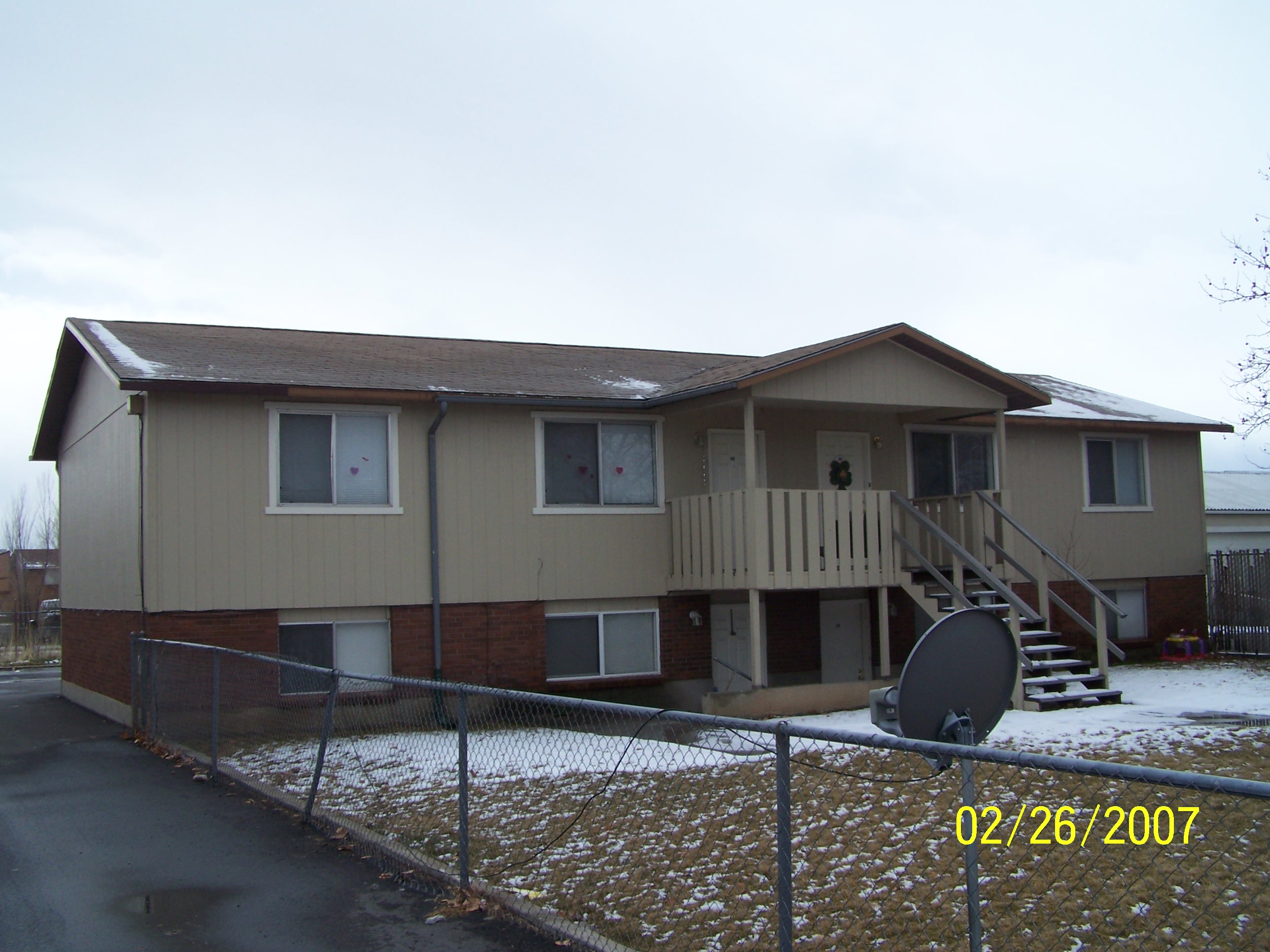
Total Photos: 4
|
| |
|
|
| Property Address: OREM |
|
| Mailing Address: 471 N 850 E OREM, UT 84097-4262 |
|
| Acreage: 0.054666 |
|
| Last Document:
10514-2016
|
|
| Subdivision Map Filing |
|
| Taxing Description:
PT LOT 8, PLAT B, COTTAGE HEIGHTS SUB DESCRIBED AS FOLLOWS; COM FR SW COR. SAID LOT 8; N 0 DEG 16' 34" E 133.63 FT; S 89 DEG 43' 26" E 17.83 FT; S 0 DEG 16' 34" W 133.63 FT; N 89 DEG 43' 26" W 17.83 FT TO BEG. AREA 0.055 AC.
*Taxing description NOT FOR LEGAL DOCUMENTS
|
|
- Owner Names
- Value History
- Tax History
- Location
- Photos
- Documents
- Aerial Image
| |
----- Real Estate Values ----- |
---Improvements--- |
---Greenbelt--- |
Total |
| Year |
Com |
Res |
Agr |
Tot |
Com |
Res |
Agr |
Tot |
Land |
Homesite |
Tot |
Market Value |
| 2024 |
$0 |
$21,200 |
$0 |
$21,200 |
$0 |
$0 |
$0 |
$0 |
$0 |
$0 |
$0 |
$21,200 |
| 2023 |
$0 |
$21,000 |
$0 |
$21,000 |
$0 |
$0 |
$0 |
$0 |
$0 |
$0 |
$0 |
$21,000 |
| 2022 |
$0 |
$20,000 |
$0 |
$20,000 |
$0 |
$0 |
$0 |
$0 |
$0 |
$0 |
$0 |
$20,000 |
| 2021 |
$0 |
$20,000 |
$0 |
$20,000 |
$0 |
$0 |
$0 |
$0 |
$0 |
$0 |
$0 |
$20,000 |
| 2020 |
$0 |
$20,000 |
$0 |
$20,000 |
$0 |
$0 |
$0 |
$0 |
$0 |
$0 |
$0 |
$20,000 |
| 2019 |
$0 |
$20,000 |
$0 |
$20,000 |
$0 |
$0 |
$0 |
$0 |
$0 |
$0 |
$0 |
$20,000 |
| 2018 |
$0 |
$20,000 |
$0 |
$20,000 |
$0 |
$0 |
$0 |
$0 |
$0 |
$0 |
$0 |
$20,000 |
| 2017 |
$0 |
$27,500 |
$0 |
$27,500 |
$0 |
$0 |
$0 |
$0 |
$0 |
$0 |
$0 |
$27,500 |
| Year |
General Taxes |
Adjustments |
Net Taxes |
Fees |
Payments |
Tax Balance* |
Balance Due |
Tax District |
| 2025 |
$0.00 |
$0.00 |
$0.00 |
$0.00 |
|
$0.00
|
$0.00 |
090 - OREM CITY |
| 2024 |
$0.00 |
$0.00 |
$0.00 |
$0.00 |
|
$0.00
|
$0.00 |
090 - OREM CITY |
| 2023 |
$87.88 |
$0.00 |
$87.88 |
$0.00 |
|
|
Click for Payoff
|
090 - OREM CITY |
| 2022 |
$86.39 |
$0.00 |
$86.39 |
$0.00 |
|
$0.00
|
$0.00 |
090 - OREM CITY |
| 2021 |
$103.71 |
$0.00 |
$103.71 |
$0.00 |
|
$0.00
|
$0.00 |
090 - OREM CITY |
| 2020 |
$105.52 |
$0.00 |
$105.52 |
$0.00 |
|
$0.00
|
$0.00 |
090 - OREM CITY |
| 2019 |
$101.48 |
$0.00 |
$101.48 |
$0.00 |
|
$0.00
|
$0.00 |
090 - OREM CITY |
| 2018 |
$106.21 |
$0.00 |
$106.21 |
$0.00 |
|
$0.00
|
$0.00 |
090 - OREM CITY |
| 2017 |
$149.93 |
$0.00 |
$149.93 |
$0.00 |
|
$0.00
|
$0.00 |
090 - OREM CITY |
* Note: Original tax amount (Does not include applicable interest and/or fees).
| Entry # |
Date |
Recorded |
Type |
Party1 (Grantor) |
Party2 (Grantee) |
| 30248-2023 |
05/11/2023 |
05/11/2023 |
WD |
DODGE, S JASON |
SETH D2 LLC |
| 127238-2022 |
12/27/2022 |
12/27/2022 |
WD |
PROVO LAND EXCHANGE XVII LLC |
DODGE, S JASON |
| 145744-2021 |
08/20/2021 |
08/20/2021 |
WD |
DODGE, S JASON |
PROVO LAND EXCHANGE XVII LLC |
| 61917-2016 |
07/05/2016 |
07/06/2016 |
D TR |
DODGE, S JASON |
FIRST COLONY MORTGAGE CORPORATION |
| 61916-2016 |
07/05/2016 |
07/06/2016 |
WD |
JOHNSON, PATRICIA B TEE (ET AL) |
DODGE, S JASON |
| 10514-2016 |
02/08/2016 |
02/08/2016 |
QCD |
J & J RENTALS LLC |
JOHNSON, PATRICIA B SUCTEE (ET AL) |
Main Menu Comments or Concerns on Value/Appraisal - Assessor's Office
Documents/Owner/Parcel information - Recorder's Office
Address Change for Tax Notice
This page was created on 5/17/2024 4:30:05 AM |