UtahCounty.Gov - The Official Website of Utah County Government

Property Information

mobile view

Serial Number: 35:398:0001 Serial Life: 2003NV    
Parcel Photo
Total Photos: 1
     
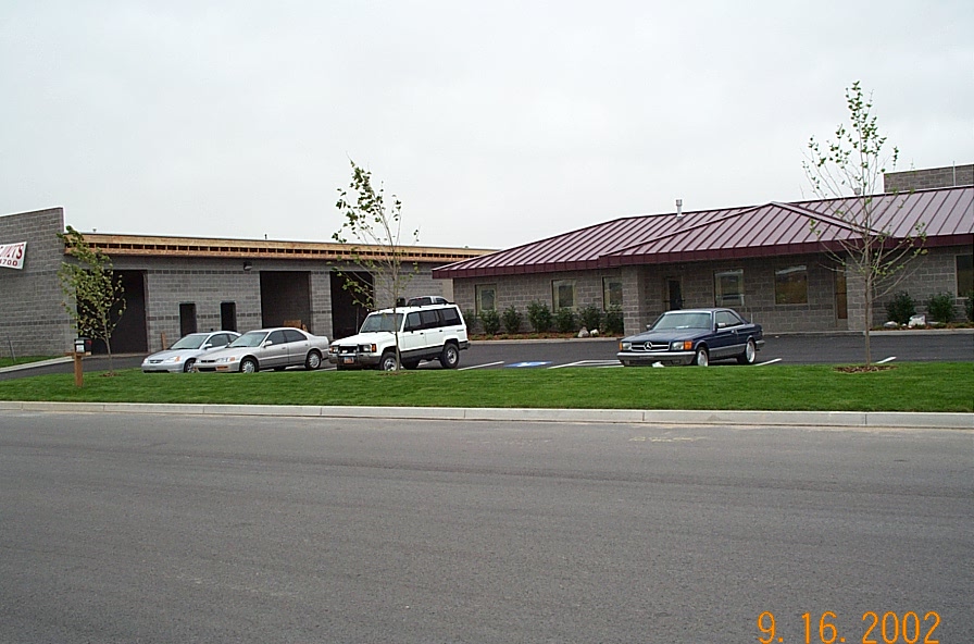
Property Address:  505 N 1500 WEST - OREM  
Mailing Address: 1433 N 1200 W OREM, UT 84057  
Acreage: 1.004  
Last Document: 29633-2002  
Subdivision Map Filing   
Taxing Description:  LOT 1, PLAT E, BUNKER SUBDV. AREA 1.004 AC.

*Taxing description NOT FOR LEGAL DOCUMENTS


  • Owner Names
  • Value History
  • Tax History
  • Location
  • Photos
  • Documents
  • Aerial Image
  
2003NV   JDP STORAGE LC
 
----- Real Estate Values -----
---Improvements---
---Greenbelt---
Total
Year
Com
Res
Agr
Tot
Com
Res
Agr
Tot
Land
Homesite
Tot
    Market Value
Year
General Taxes
Adjustments
Net Taxes
Fees
Payments
Tax Balance*
Balance Due
Tax District

* Note: Original tax amount (Does not include applicable interest and/or fees).
Parcel Photo
Entry # Date Recorded Type Party1 (Grantor) Party2 (Grantee)
102736-2002 08/13/2002 09/04/2002 P PLAT J D P STORAGE LC WASHBURN STORAGE PUD
96238-2002 08/20/2002 08/21/2002 DECLCOV JDP STORAGE LC WHOM OF INTEREST
66216-2002 06/12/2002 06/12/2002 REC CENTURY TITLE TEE JDP STORAGE LC
44452-2002 04/30/2002 04/19/2002 PW FARM UTAH COUNTY ASSESSOR WHOM OF INTEREST
41950-2002 04/03/2002 04/15/2002 P REC BANK OF AMERICAN FORK TEE CARTER CONSTRUCTION COMPANY
35290-2002 03/28/2002 03/29/2002 D TR JDP STORAGE LC CENTRAL BANK
32653-2002 02/28/2002 03/22/2002 P REC WESTERN COMMUNITY BANK TEE TENT PEG LC
29633-2002 03/03/2002 03/15/2002 S PLAT JDP STORAGE LC BUNKER PLAT E


Main Menu

Comments or Concerns on Value/Appraisal - Assessor's Office
Documents/Owner/Parcel information - Recorder's Office
Address Change for Tax Notice

This page was created on 5/17/2024 6:21:13 AM