Property Information
mobile view
| Serial Number: 26:048:0063 |
Serial Life: 2002-2010 |
|
|

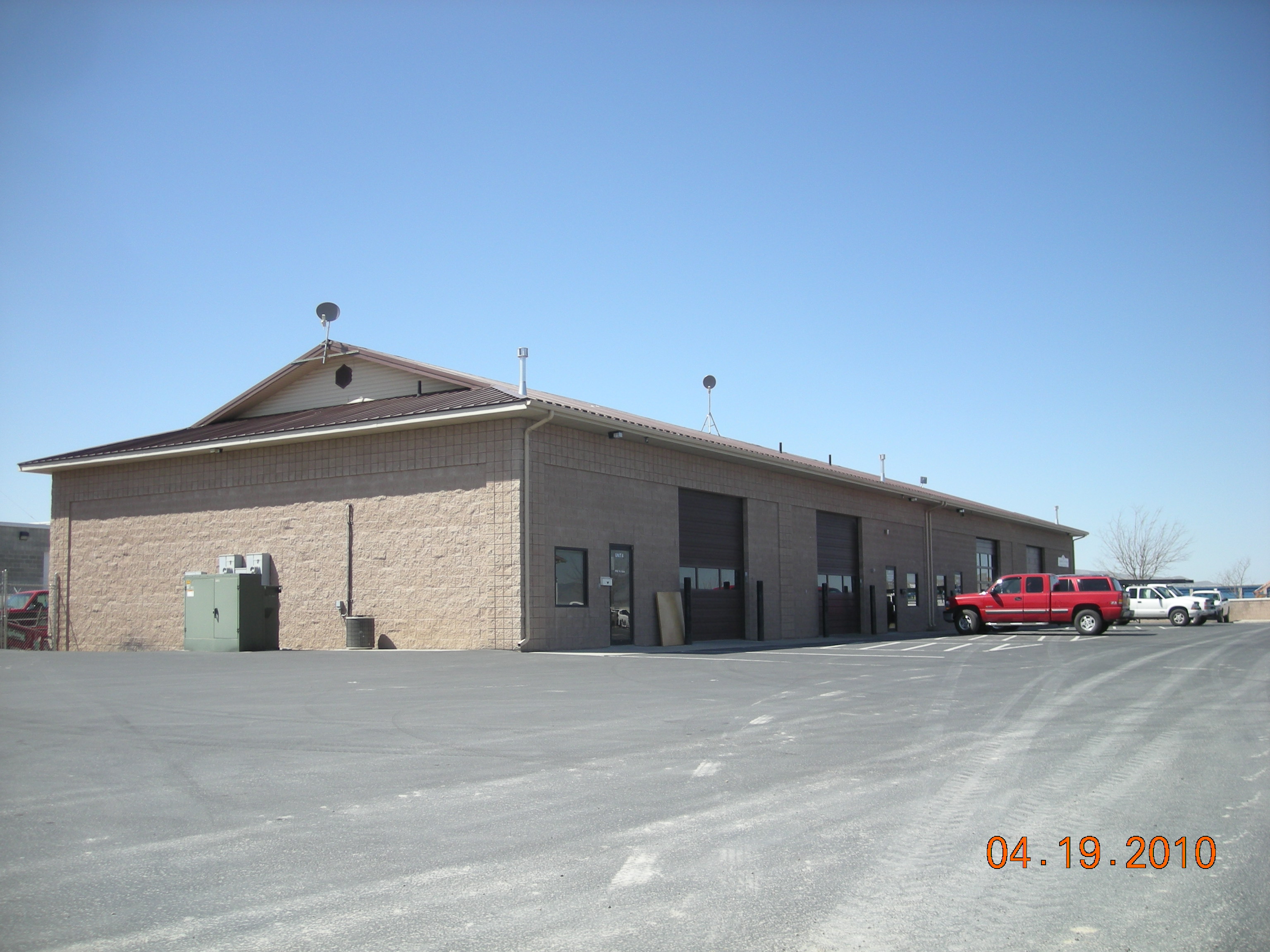
Total Photos: 8
|
| |
|
|
| Property Address: |
|
| Mailing Address: PO BOX 623 SPRINGVILLE, UT 84663-0623 |
|
| Acreage: 3.863118 |
|
| Last Document:
44614-1994
|
|
| Subdivision Map Filing |
|
| Taxing Description:
COM S 695.36 FT & E 2.67 FT FR W 1/4 COR. SEC. 7, T8S, R3E, SLB&M.; N 0 DEG 16' 43" W 262.76 FT; N 89 DEG 29' 0" E 630.67 FT; S 0 DEG 20' 20" E 53.9 FT; ALONG A CURVE TO R (CHORD BEARS: S 12 DEG 33' 0" W 233.63 FT, RADIUS = 523.69 FT); N 88 DEG 39' 52" W 579.07 FT TO BEG. AREA 3.863 AC.
*Taxing description NOT FOR LEGAL DOCUMENTS
|
|
- Owner Names
- Value History
- Tax History
- Location
- Photos
- Documents
- Aerial Image
| |
----- Real Estate Values ----- |
---Improvements--- |
---Greenbelt--- |
Total |
| Year |
Com |
Res |
Agr |
Tot |
Com |
Res |
Agr |
Tot |
Land |
Homesite |
Tot |
Market Value |
| 2010 |
$415,981 |
$0 |
$0 |
$415,981 |
$1,332,063 |
$0 |
$0 |
$1,332,063 |
$0 |
$0 |
$0 |
$1,748,044 |
| 2009 |
$353,400 |
$0 |
$0 |
$353,400 |
$1,096,600 |
$0 |
$0 |
$1,096,600 |
$0 |
$0 |
$0 |
$1,450,000 |
| 2008 |
$353,400 |
$0 |
$0 |
$353,400 |
$1,096,600 |
$0 |
$0 |
$1,096,600 |
$0 |
$0 |
$0 |
$1,450,000 |
| 2007 |
$386,000 |
$0 |
$0 |
$386,000 |
$532,500 |
$0 |
$0 |
$532,500 |
$0 |
$0 |
$0 |
$918,500 |
| 2006 |
$386,000 |
$0 |
$0 |
$386,000 |
$532,500 |
$0 |
$0 |
$532,500 |
$0 |
$0 |
$0 |
$918,500 |
| 2005 |
$386,000 |
$0 |
$0 |
$386,000 |
$532,500 |
$0 |
$0 |
$532,500 |
$0 |
$0 |
$0 |
$918,500 |
| 2004 |
$206,850 |
$0 |
$0 |
$206,850 |
$1,007,820 |
$0 |
$0 |
$1,007,820 |
$0 |
$0 |
$0 |
$1,214,670 |
| 2003 |
$206,850 |
$0 |
$0 |
$206,850 |
$1,007,820 |
$0 |
$0 |
$1,007,820 |
$0 |
$0 |
$0 |
$1,214,670 |
| 2002 |
$206,850 |
$0 |
$0 |
$206,850 |
$564,583 |
$0 |
$0 |
$564,583 |
$0 |
$0 |
$0 |
$771,433 |
| Year |
General Taxes |
Adjustments |
Net Taxes |
Fees |
Payments |
Tax Balance* |
Balance Due |
Tax District |
| 2010 |
$21,014.98 |
$0.00 |
$21,014.98 |
$0.00 |
|
$0.00
|
$0.00 |
150 - SPANISH FORK CITY |
| 2009 |
$16,501.00 |
$0.00 |
$16,501.00 |
$0.00 |
|
$0.00
|
$0.00 |
150 - SPANISH FORK CITY |
| 2008 |
$15,332.30 |
$0.00 |
$15,332.30 |
$0.00 |
|
$0.00
|
$0.00 |
150 - SPANISH FORK CITY |
| 2007 |
$9,732.43 |
$0.00 |
$9,732.43 |
$0.00 |
|
$0.00
|
$0.00 |
150 - SPANISH FORK CITY |
| 2006 |
$10,543.46 |
$0.00 |
$10,543.46 |
$0.00 |
|
$0.00
|
$0.00 |
150 - SPANISH FORK CITY |
| 2005 |
$11,322.35 |
$0.00 |
$11,322.35 |
$0.00 |
|
$0.00
|
$0.00 |
150 - SPANISH FORK CITY |
| 2004 |
$14,995.10 |
($3,656.22) |
$11,338.88 |
$0.00 |
|
$0.00
|
$0.00 |
150 - SPANISH FORK CITY |
| 2003 |
$13,554.50 |
$0.00 |
$13,554.50 |
$0.00 |
|
$0.00
|
$0.00 |
150 - SPANISH FORK CITY |
| 2002 |
$8,381.62 |
$0.00 |
$8,381.62 |
$0.00 |
|
$0.00
|
$0.00 |
150 - SPANISH FORK CITY |
* Note: Original tax amount (Does not include applicable interest and/or fees).
| Entry # |
Date |
Recorded |
Type |
Party1 (Grantor) |
Party2 (Grantee) |
| 79294-2010 |
08/19/2009 |
09/20/2010 |
S PLAT |
ELLIS, GARY W & PAT |
ELLIS G PLAT A |
| 114949-2008 |
10/20/2008 |
10/22/2008 |
CT |
STATE OF UTAH |
WHOM OF INTEREST |
| 107508-2008 |
09/30/2008 |
09/30/2008 |
RESOL |
BOARD OF COUNTY COMMISSIONERS UTAH COUNTY |
WHOM OF INTEREST |
| 30498-2002 |
02/15/2002 |
03/18/2002 |
R/W EAS |
ELLIS, GARY W & PAT |
QUESTAR GAS COMPANY |
| 105245-2001 |
09/25/2001 |
10/16/2001 |
REC |
WELLS FARGO TEE |
ELLIS, GARY W & PAT |
| 105244-2001 |
09/23/2001 |
10/16/2001 |
SUB TEE |
WELLS FARGO |
FIRST SECURITY BANK SUCTEE |
| 23253-2001 |
03/13/2001 |
03/13/2001 |
BLA |
MONTY BUSHMAN LLC (ET AL) |
ELLIS, GARY W & PAT (ET AL) |
Main Menu Comments or Concerns on Value/Appraisal - Assessor's Office
Documents/Owner/Parcel information - Recorder's Office
Address Change for Tax Notice
This page was created on 5/19/2024 7:27:15 AM |


