Property Information
mobile view
| Serial Number: 24:046:0049 |
Serial Life: 2006-2013 |
|
|
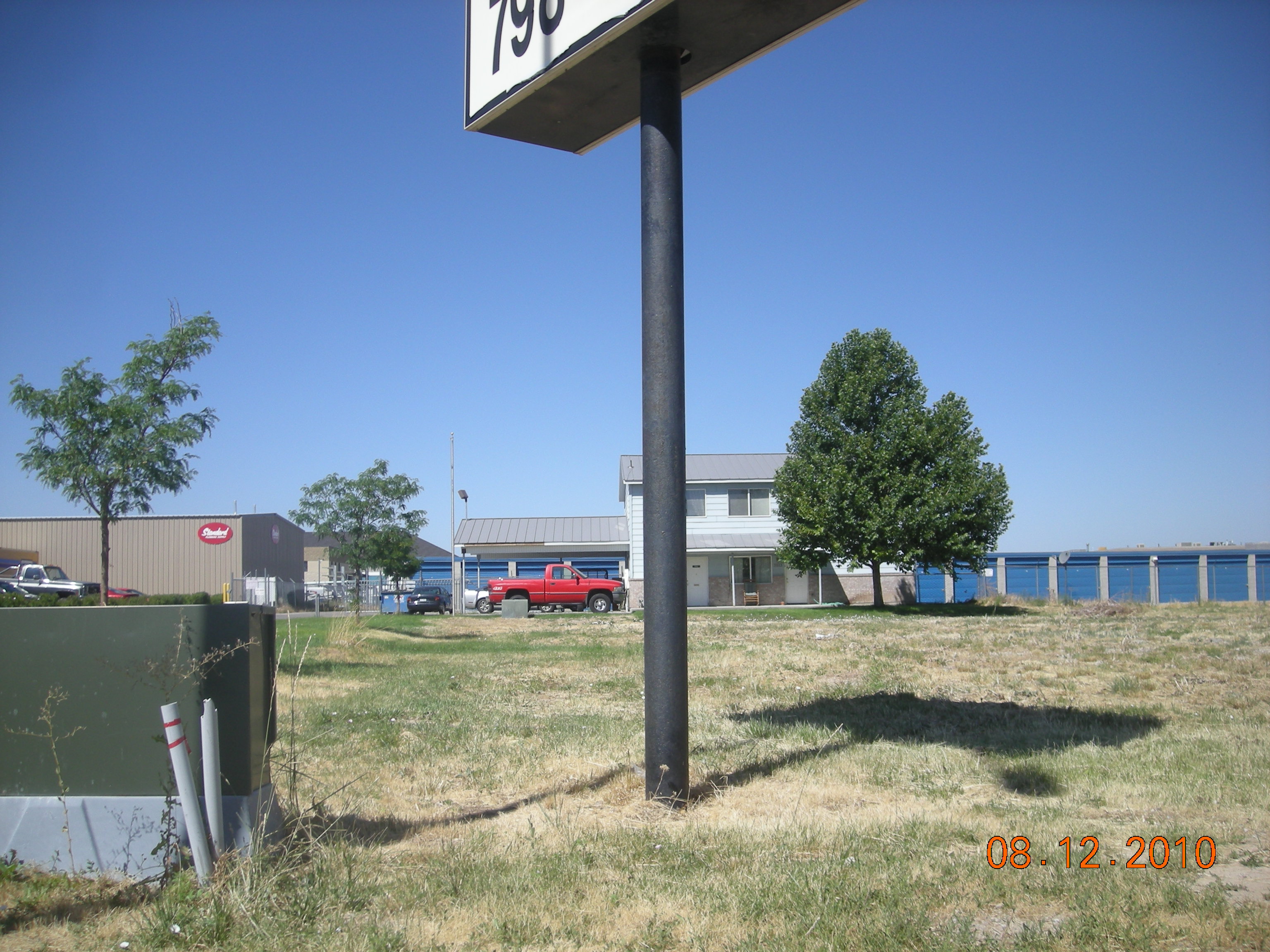
Total Photos: 2
|
| |
|
|
| Property Address: 2023 N MAIN ST - SPANISH FORK |
|
| Mailing Address: PO BOX 2126 OREM, UT 84059-2126 |
|
| Acreage: 0.072 |
|
| Last Document:
38465-2005
|
|
| Subdivision Map Filing |
|
| Taxing Description:
COM N 1941.27 FT & W 79.03 FT FR SE COR. SEC. 12, T8S, R2E, SLB&M.; W 139.72 FT; S 0 DEG 4' 14" W 22.36 FT; E 139.87 FT; N 0 DEG 19' 0" W 22.36 FT TO BEG. AREA 0.072 AC.
*Taxing description NOT FOR LEGAL DOCUMENTS
|
|
- Owner Names
- Value History
- Tax History
- Location
- Photos
- Documents
- Aerial Image
| |
----- Real Estate Values ----- |
---Improvements--- |
---Greenbelt--- |
Total |
| Year |
Com |
Res |
Agr |
Tot |
Com |
Res |
Agr |
Tot |
Land |
Homesite |
Tot |
Market Value |
| 2013 |
$11,300 |
$0 |
$0 |
$11,300 |
$0 |
$0 |
$0 |
$0 |
$0 |
$0 |
$0 |
$11,300 |
| 2012 |
$11,300 |
$0 |
$0 |
$11,300 |
$0 |
$0 |
$0 |
$0 |
$0 |
$0 |
$0 |
$11,300 |
| 2011 |
$11,300 |
$0 |
$0 |
$11,300 |
$0 |
$0 |
$0 |
$0 |
$0 |
$0 |
$0 |
$11,300 |
| 2010 |
$4,116 |
$0 |
$0 |
$4,116 |
$0 |
$0 |
$0 |
$0 |
$0 |
$0 |
$0 |
$4,116 |
| 2009 |
$4,200 |
$0 |
$0 |
$4,200 |
$0 |
$0 |
$0 |
$0 |
$0 |
$0 |
$0 |
$4,200 |
| 2008 |
$4,200 |
$0 |
$0 |
$4,200 |
$0 |
$0 |
$0 |
$0 |
$0 |
$0 |
$0 |
$4,200 |
| 2007 |
$4,200 |
$0 |
$0 |
$4,200 |
$0 |
$0 |
$0 |
$0 |
$0 |
$0 |
$0 |
$4,200 |
| 2006 |
$4,200 |
$0 |
$0 |
$4,200 |
$0 |
$0 |
$0 |
$0 |
$0 |
$0 |
$0 |
$4,200 |
| Year |
General Taxes |
Adjustments |
Net Taxes |
Fees |
Payments |
Tax Balance* |
Balance Due |
Tax District |
| 2013 |
$140.71 |
$0.00 |
$140.71 |
$0.00 |
|
$0.00
|
$0.00 |
150 - SPANISH FORK CITY |
| 2012 |
$142.55 |
$0.00 |
$142.55 |
$0.00 |
|
$0.00
|
$0.00 |
150 - SPANISH FORK CITY |
| 2011 |
$139.37 |
$0.00 |
$139.37 |
$0.00 |
|
$0.00
|
$0.00 |
150 - SPANISH FORK CITY |
| 2010 |
$49.48 |
$0.00 |
$49.48 |
$0.00 |
|
$0.00
|
$0.00 |
150 - SPANISH FORK CITY |
| 2009 |
$47.80 |
$0.00 |
$47.80 |
$0.00 |
|
$0.00
|
$0.00 |
150 - SPANISH FORK CITY |
| 2008 |
$44.41 |
$0.00 |
$44.41 |
$0.00 |
|
$0.00
|
$0.00 |
150 - SPANISH FORK CITY |
| 2007 |
$44.50 |
$0.00 |
$44.50 |
$0.00 |
|
$0.00
|
$0.00 |
150 - SPANISH FORK CITY |
| 2006 |
$48.21 |
$0.00 |
$48.21 |
$0.00 |
|
$0.00
|
$0.00 |
150 - SPANISH FORK CITY |
* Note: Original tax amount (Does not include applicable interest and/or fees).
| Entry # |
Date |
Recorded |
Type |
Party1 (Grantor) |
Party2 (Grantee) |
| 64903-2013 |
07/05/2013 |
07/05/2013 |
QCD |
JOHNSON, RICHARD J |
RJ STORAGE UNITS LLC |
| 114949-2008 |
10/20/2008 |
10/22/2008 |
CT |
STATE OF UTAH |
WHOM OF INTEREST |
| 107508-2008 |
09/30/2008 |
09/30/2008 |
RESOL |
BOARD OF COUNTY COMMISSIONERS UTAH COUNTY |
WHOM OF INTEREST |
| 161410-2007 |
10/23/2007 |
11/15/2007 |
REC |
BANK OF UTAH TEE |
JOHNSON, RICHARD J |
| 160696-2007 |
10/24/2007 |
11/13/2007 |
REC |
BANK OF UTAH TEE |
JOHNSON, RICHARD J |
| 140483-2006 |
10/20/2006 |
10/20/2006 |
D TR |
JOHNSON, RICHARD J |
BANK OF UTAH |
| 38465-2005 |
04/11/2005 |
04/12/2005 |
WD |
JOHNSON, PATRICIA B TEE (ET AL) |
JOHNSON, RICHARD J |
Main Menu Comments or Concerns on Value/Appraisal - Assessor's Office
Documents/Owner/Parcel information - Recorder's Office
Address Change for Tax Notice
This page was created on 5/18/2024 8:46:29 AM |
