Property Information
mobile view
| Serial Number: 17:033:0041 |
Serial Life: 1985-2016 |
|
|
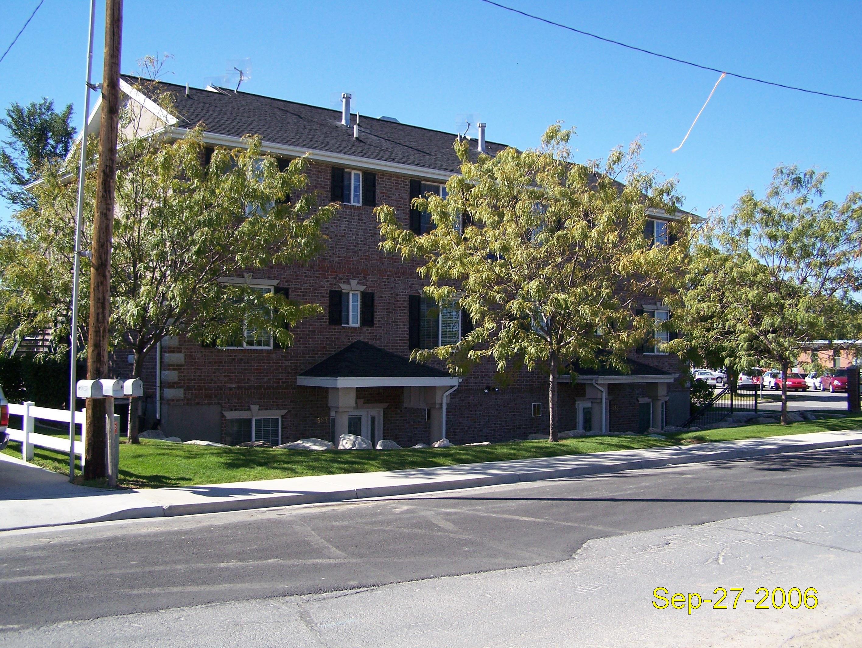
Total Photos: 1
|
| |
|
|
| Property Address: |
|
| Mailing Address: No Address Found |
|
| Acreage: 0 |
|
| Last Document:
35650-1984
|
|
| Subdivision Map Filing |
|
| Taxing Description:
NWNE SECTION 9 TOWNSHIP 6 S RANGE 2 E
*Taxing description NOT FOR LEGAL DOCUMENTS
|
|
- Owner Names
- Value History
- Tax History
- Location
- Photos
- Documents
- Aerial Image
Main Menu Comments or Concerns on Value/Appraisal - Assessor's Office
Documents/Owner/Parcel information - Recorder's Office
Address Change for Tax Notice
This page was created on 5/16/2024 12:07:51 AM |