Property Information
mobile view
| Serial Number: 17:032:0129 |
Serial Life: 2018... |
|
|
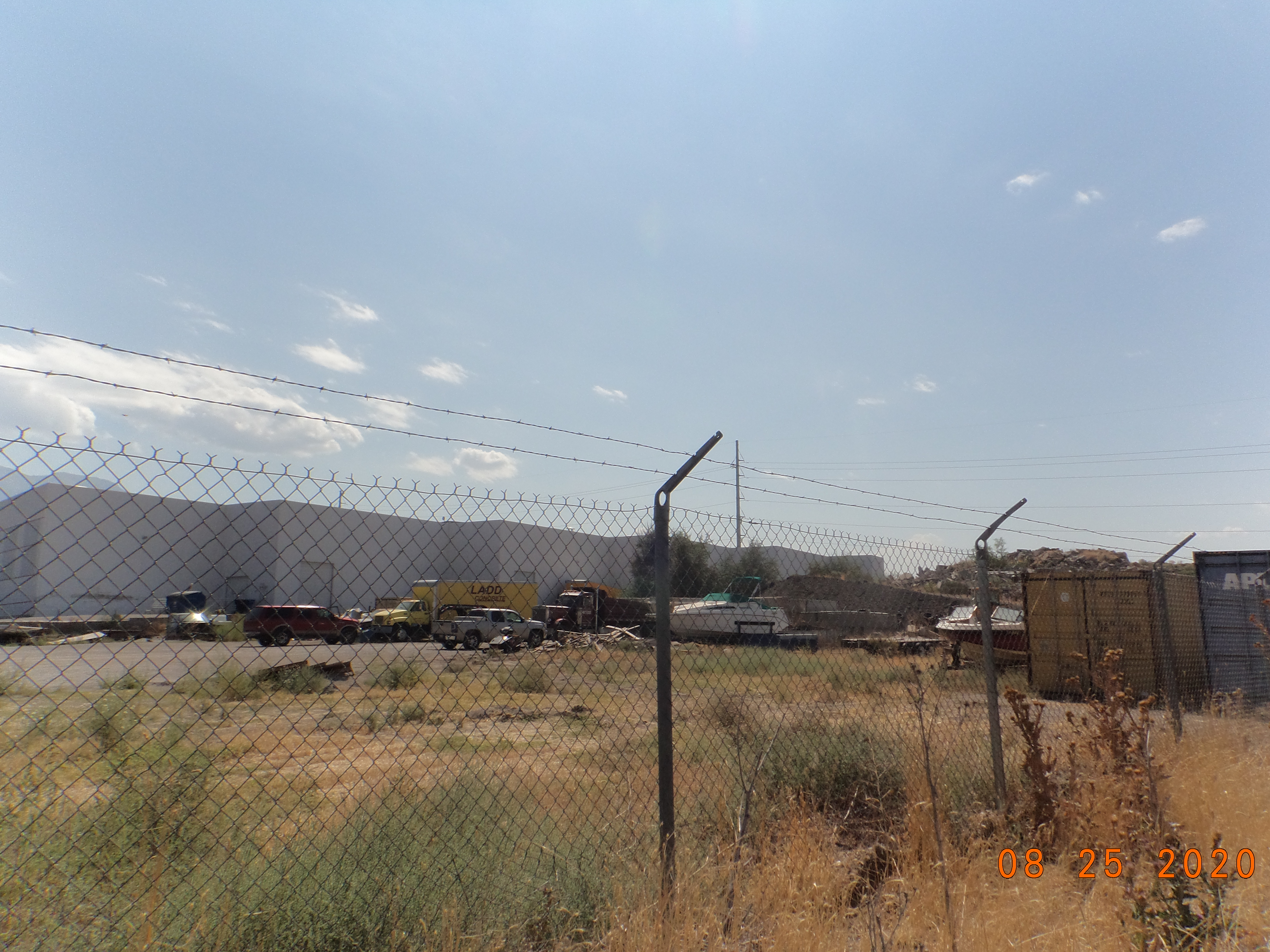
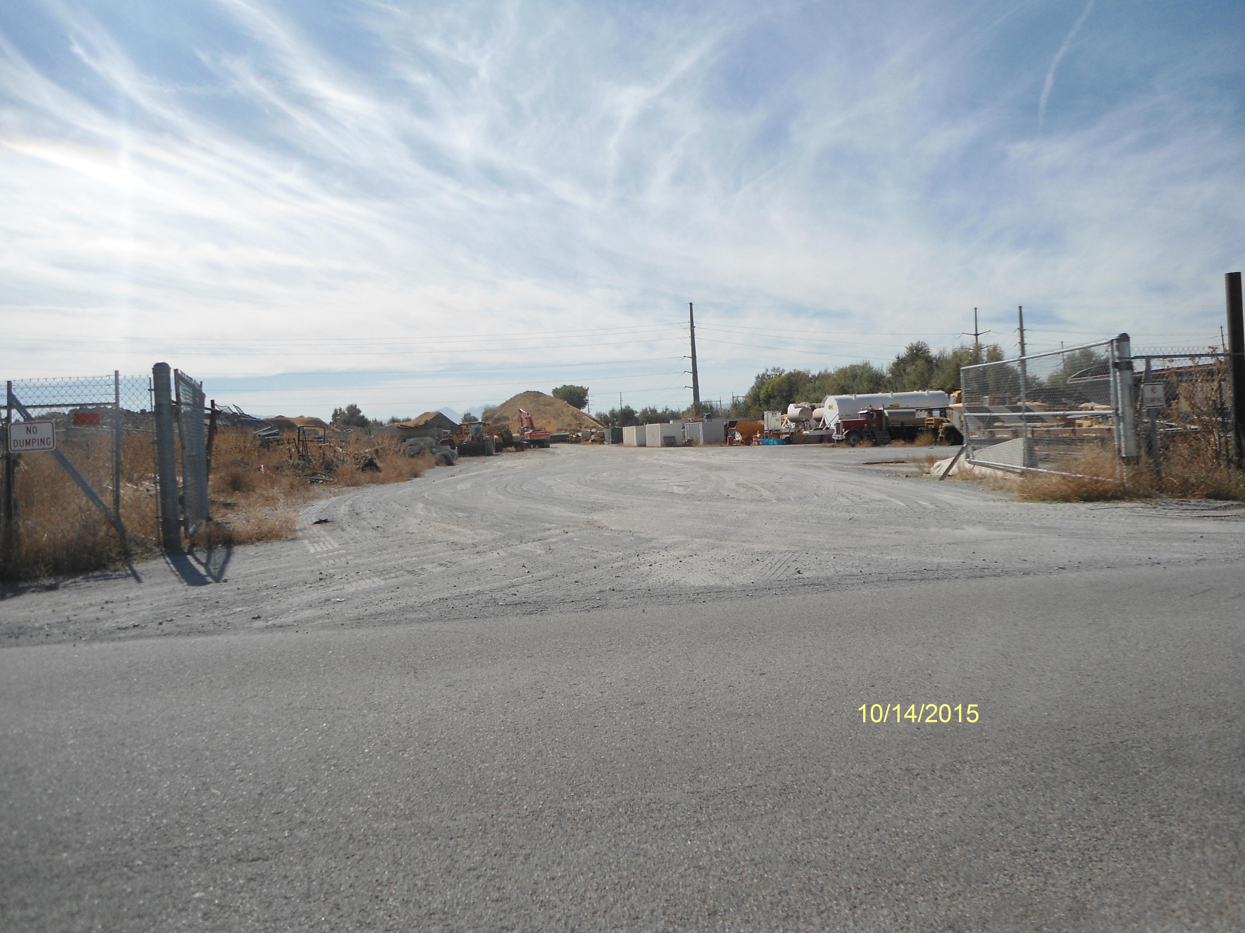
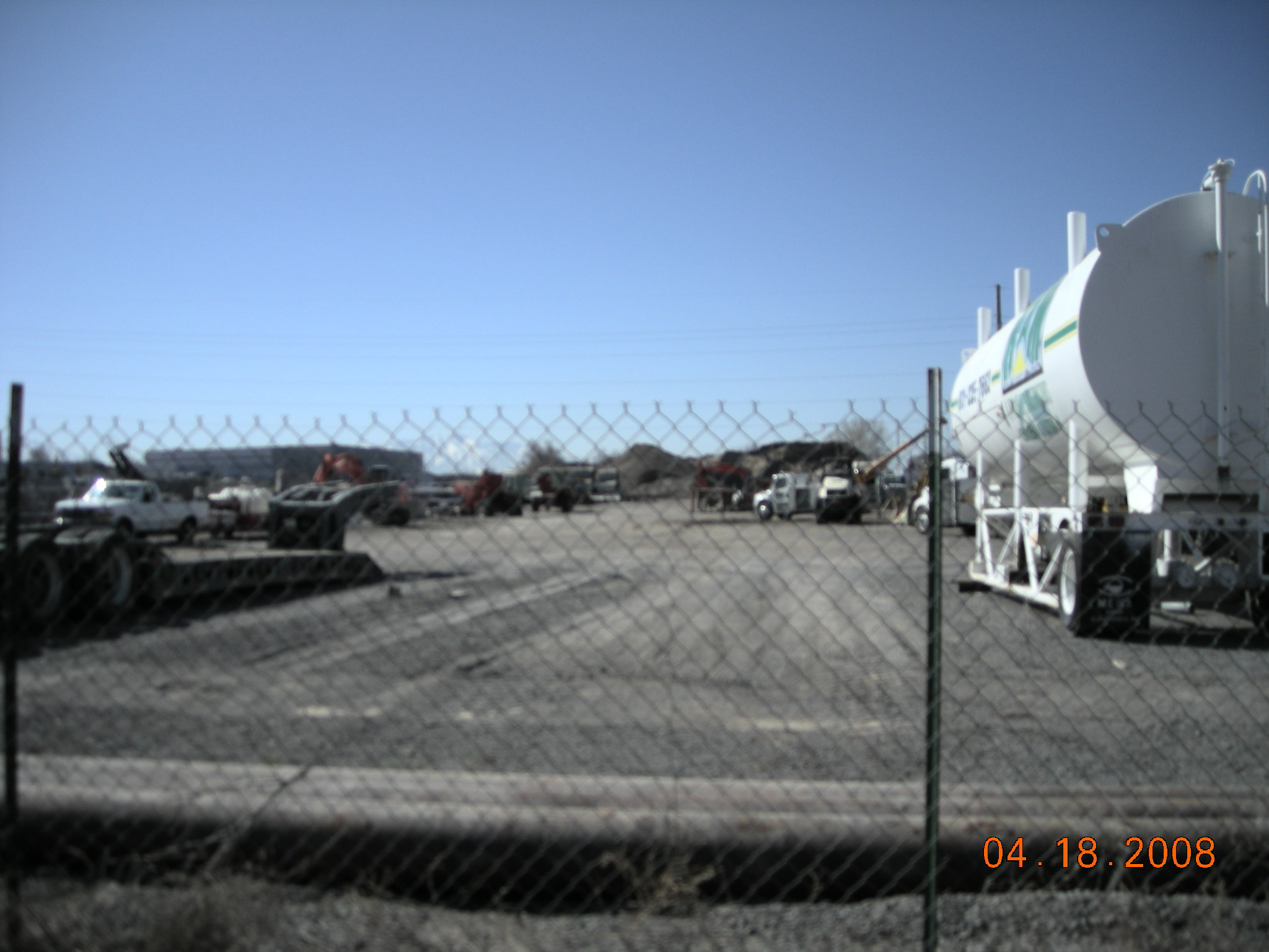
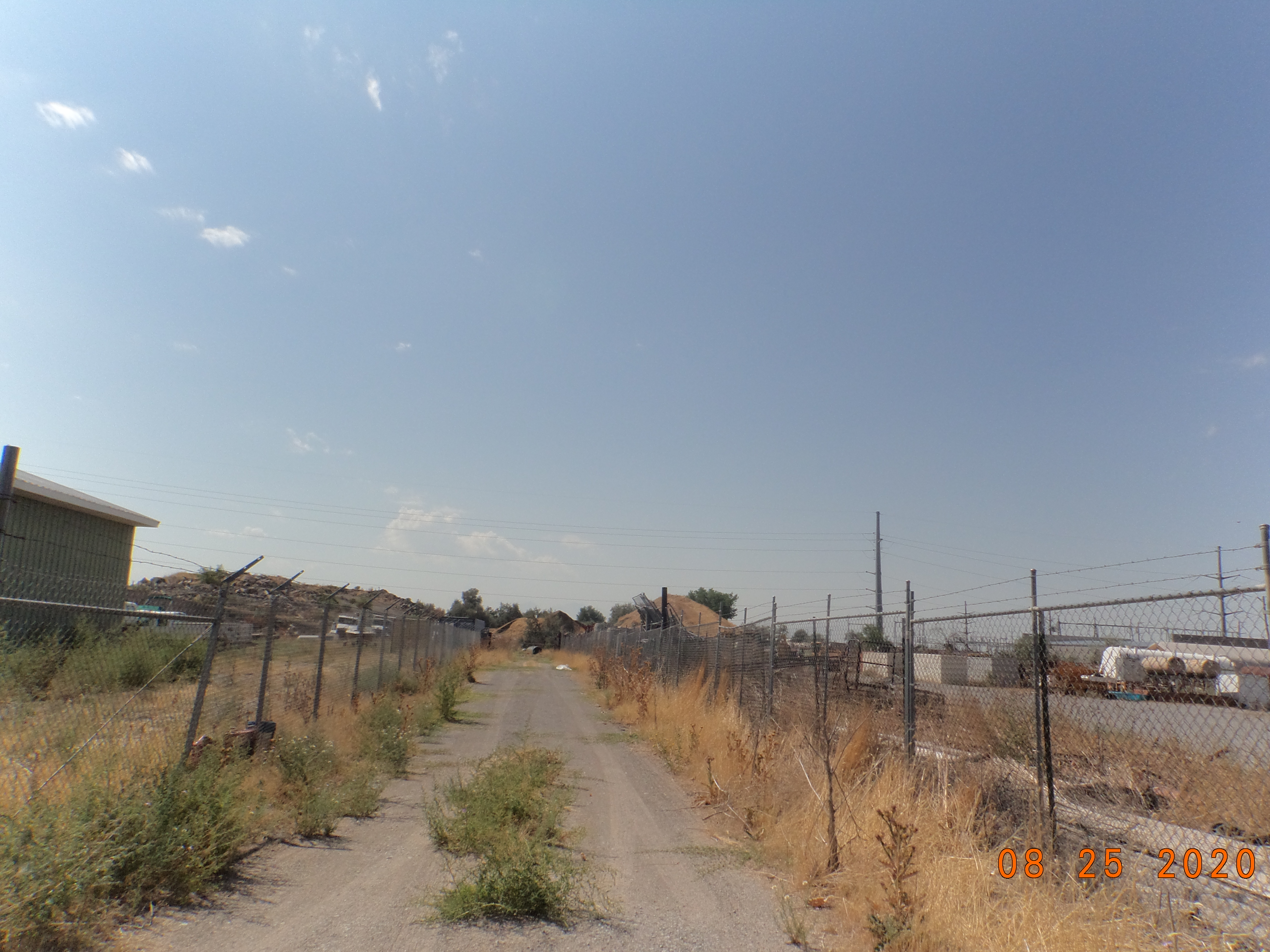
Total Photos: 3
|
| |
|
|
| Property Address: OREM |
|
| Mailing Address: 947 E 80 N OREM, UT 84097-4978 |
|
| Acreage: 5.048906 |
|
| Last Document:
108303-2017
|
|
| Subdivision Map Filing |
|
| Taxing Description:
COM N 3.49 FT & E 439.98 FT FR NW COR. SEC. 9, T6S, R2E, SLB&M.; S 1009.61 FT; E 217.69 FT; N 0 DEG 24' 9" W 676.25 FT; N 89 DEG 32' 43" E 10.95 FT; N 0 DEG 23' 53" W 335.06 FT; S 89 DEG 32' 45" W 221.57 FT TO BEG. AREA 5.049 AC.
*Taxing description NOT FOR LEGAL DOCUMENTS
|
|
- Owner Names
- Value History
- Tax History
- Location
- Photos
- Documents
- Aerial Image
| |
----- Real Estate Values ----- |
---Improvements--- |
---Greenbelt--- |
Total |
| Year |
Com |
Res |
Agr |
Tot |
Com |
Res |
Agr |
Tot |
Land |
Homesite |
Tot |
Market Value |
| 2024 |
$1,799,300 |
$0 |
$0 |
$1,799,300 |
$87,400 |
$0 |
$0 |
$87,400 |
$0 |
$0 |
$0 |
$1,886,700 |
| 2023 |
$1,631,900 |
$0 |
$0 |
$1,631,900 |
$86,200 |
$0 |
$0 |
$86,200 |
$0 |
$0 |
$0 |
$1,718,100 |
| 2022 |
$1,548,200 |
$0 |
$0 |
$1,548,200 |
$85,000 |
$0 |
$0 |
$85,000 |
$0 |
$0 |
$0 |
$1,633,200 |
| 2021 |
$1,285,100 |
$0 |
$0 |
$1,285,100 |
$0 |
$0 |
$0 |
$0 |
$0 |
$0 |
$0 |
$1,285,100 |
| 2020 |
$1,285,100 |
$0 |
$0 |
$1,285,100 |
$0 |
$0 |
$0 |
$0 |
$0 |
$0 |
$0 |
$1,285,100 |
| 2019 |
$1,148,000 |
$0 |
$0 |
$1,148,000 |
$0 |
$0 |
$0 |
$0 |
$0 |
$0 |
$0 |
$1,148,000 |
| 2018 |
$1,044,700 |
$0 |
$0 |
$1,044,700 |
$0 |
$0 |
$0 |
$0 |
$0 |
$0 |
$0 |
$1,044,700 |
| Year |
General Taxes |
Adjustments |
Net Taxes |
Fees |
Payments |
Tax Balance* |
Balance Due |
Tax District |
| 2025 |
$0.00 |
$0.00 |
$0.00 |
$0.00 |
|
$0.00
|
$0.00 |
090 - OREM CITY |
| 2024 |
$0.00 |
$0.00 |
$0.00 |
$0.00 |
|
$0.00
|
$0.00 |
090 - OREM CITY |
| 2023 |
$13,073.02 |
$0.00 |
$13,073.02 |
$0.00 |
|
|
Click for Payoff
|
090 - OREM CITY |
| 2022 |
$12,827.15 |
$0.00 |
$12,827.15 |
$0.00 |
|
$0.00
|
$0.00 |
090 - OREM CITY |
| 2021 |
$12,115.92 |
$0.00 |
$12,115.92 |
$0.00 |
|
$0.00
|
$0.00 |
090 - OREM CITY |
| 2020 |
$12,327.96 |
$0.00 |
$12,327.96 |
$0.00 |
|
$0.00
|
$0.00 |
090 - OREM CITY |
| 2019 |
$10,590.30 |
$0.00 |
$10,590.30 |
$0.00 |
|
$0.00
|
$0.00 |
090 - OREM CITY |
| 2018 |
$10,086.58 |
$0.00 |
$10,086.58 |
$0.00 |
|
$0.00
|
$0.00 |
090 - OREM CITY |
* Note: Original tax amount (Does not include applicable interest and/or fees).
| Entry # |
Date |
Recorded |
Type |
Party1 (Grantor) |
Party2 (Grantee) |
| 108658-2017 |
03/31/2017 |
11/01/2017 |
SP WD |
MCKELL, JANET |
JL NORTH OREM LLC |
| 108311-2017 |
03/30/2017 |
10/31/2017 |
SP WD |
RAM ROCK DEVELOPMENT LLC |
MCKELL, JANET |
| 108303-2017 |
03/30/2017 |
10/31/2017 |
SP WD |
RAM ROCK DEVELOPMENT LLC |
MCKELL, JANET |
Main Menu Comments or Concerns on Value/Appraisal - Assessor's Office
Documents/Owner/Parcel information - Recorder's Office
Address Change for Tax Notice
This page was created on 5/16/2024 2:16:50 AM |