Property Information
mobile view
| Serial Number: 14:055:0133 |
Serial Life: 2008 |
|
|
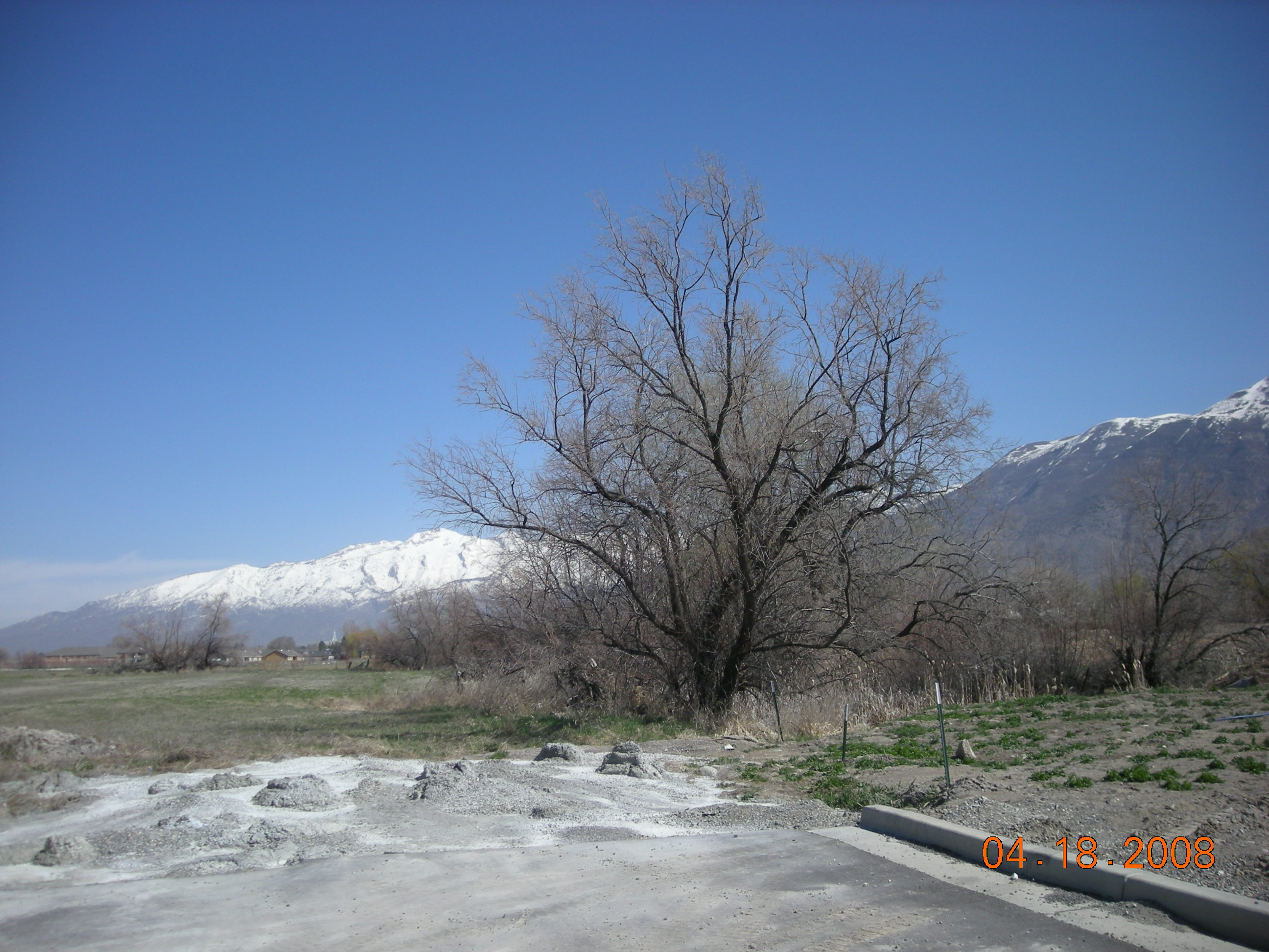
Total Photos: 1
|
| |
|
|
| Property Address: |
|
| Mailing Address: 926 W 1429 S PAYSON, UT 84651 |
|
| Acreage: 8.095 |
|
| Last Document:
67352-2008
|
|
| Subdivision Map Filing |
|
| Taxing Description:
COM S 316.75 FT & E 474.42 FT FR NW COR. SEC. 30, T5S, R2E, SLB&M.; E 861.45 FT; S 30 DEG 33' 29" W 593.4 FT; S 88 DEG 11' 30" W 152.79 FT; N 7 DEG 34' 11" E 45.76 FT; W 355.07 FT; S 0 DEG 13' 11" E 55.08 FT; N 89 DEG 59' 59" W 68.33 FT; N 0 DEG 49' 50" E 331.65 FT; N 89 DEG 52' 18" E 5.31 FT; N 193.9 FT TO BEG. AREA 8.095 AC.
*Taxing description NOT FOR LEGAL DOCUMENTS
|
|
- Owner Names
- Value History
- Tax History
- Location
- Photos
- Documents
- Aerial Image
Main Menu Comments or Concerns on Value/Appraisal - Assessor's Office
Documents/Owner/Parcel information - Recorder's Office
Address Change for Tax Notice
This page was created on 5/9/2024 11:33:35 AM |